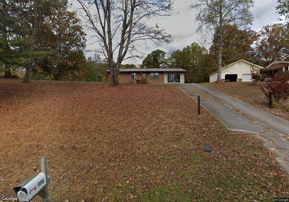
906 Satterfield Rd Maynardville, TN 37807
Paulette NeighborhoodEstimated Value: $227,291 - $318,000
--
Bed
2
Baths
1,404
Sq Ft
$199/Sq Ft
Est. Value
About This Home
This home is located at 906 Satterfield Rd, Maynardville, TN 37807 and is currently estimated at $279,323, approximately $198 per square foot. 906 Satterfield Rd is a home located in Union County with nearby schools including Paulette Elementary School, Union County High School, and H Maynard Middle School.
Ownership History
Date
Name
Owned For
Owner Type
Purchase Details
Closed on
Aug 1, 2005
Sold by
Marvin Paul E
Bought by
Blaine Peters
Current Estimated Value
Purchase Details
Closed on
Mar 4, 2005
Bought by
Marvin Paul E Marvin Edna
Purchase Details
Closed on
Mar 29, 1990
Bought by
Harrell Danny Robin
Purchase Details
Closed on
Oct 5, 1984
Bought by
Campbell Bruce A
Create a Home Valuation Report for This Property
The Home Valuation Report is an in-depth analysis detailing your home's value as well as a comparison with similar homes in the area
Home Values in the Area
Average Home Value in this Area
Purchase History
| Date | Buyer | Sale Price | Title Company |
|---|---|---|---|
| Blaine Peters | $110,000 | -- | |
| Blaine Peters | $110,000 | -- | |
| Marvin Paul E Marvin Edna | $55,500 | -- | |
| Marvin Paul E Marvin Edna | $55,500 | -- | |
| Harrell Danny Robin | $46,500 | -- | |
| Harrell Danny Robin | $46,500 | -- | |
| Campbell Bruce A | -- | -- | |
| Campbell Bruce A | -- | -- |
Source: Public Records
Tax History Compared to Growth
Tax History
| Year | Tax Paid | Tax Assessment Tax Assessment Total Assessment is a certain percentage of the fair market value that is determined by local assessors to be the total taxable value of land and additions on the property. | Land | Improvement |
|---|---|---|---|---|
| 2024 | $630 | $33,175 | $4,500 | $28,675 |
| 2023 | $0 | $33,175 | $4,500 | $28,675 |
| 2022 | $527 | $33,175 | $4,500 | $28,675 |
| 2021 | $546 | $25,500 | $3,500 | $22,000 |
| 2020 | $546 | $25,500 | $3,500 | $22,000 |
| 2019 | $546 | $25,500 | $3,500 | $22,000 |
| 2018 | $546 | $25,500 | $3,500 | $22,000 |
| 2017 | $546 | $25,500 | $3,500 | $22,000 |
| 2016 | $505 | $23,275 | $4,500 | $18,775 |
| 2015 | $505 | $23,275 | $4,500 | $18,775 |
| 2014 | $428 | $23,270 | $0 | $0 |
Source: Public Records
Map
Nearby Homes
- 211 Jamie St
- 215 Jamie St
- 213 Brock Rd
- 0 Satterfield Rd Unit 1313221
- 275 Dogwood Ln
- 254 Dogwood Ln
- 8210 Wood Rd
- 7725 Texas Valley Rd
- 00 Old Tazewell Pike
- 112 Dogwood St
- L-7 Williams Dr
- 9024 Welch Rd
- 346 Wolfenbarger Ln
- 7439 Haley Ln
- 9211 Brock Rd
- 9210 Brock Rd
- 8.30 acres Wolfenbarger Ln
- 8127 Campbells Point Rd
- 8012 Campbells Point Rd
- 0 Campbells Point Rd
- 902 Satterfield Rd
- 912 Satterfield Rd
- 926 Satterfield Rd
- 830 Satterfield Rd
- 844 Satterfield Rd
- 120 Snyder Ln
- 934 Satterfield Rd
- 911 Satterfield Rd
- 942 Satterfield Rd
- 949 Satterfield Rd
- 808 Satterfield Rd
- 205 Noah Dr
- 9430 Graves Rd
- 955 Satterfield Rd
- 110 Noah Dr
- 102 Noah Dr
- 307 Noah Dr
- 315 Noah Dr
- 206 Noah Dr
- 719 Satterfield Rd