90658 Sunderman Rd Springfield, OR 97478
Estimated Value: $610,962 - $746,000
3
Beds
2
Baths
1,490
Sq Ft
$465/Sq Ft
Est. Value
About This Home
This home is located at 90658 Sunderman Rd, Springfield, OR 97478 and is currently estimated at $692,321, approximately $464 per square foot. 90658 Sunderman Rd is a home located in Lane County with nearby schools including Yolanda Elementary School, Briggs Middle School, and Thurston High School.
Ownership History
Date
Name
Owned For
Owner Type
Purchase Details
Closed on
Sep 28, 2011
Sold by
Vancleave Margaret J
Bought by
Callaghan Terence R and Callaghan Sarah R
Current Estimated Value
Home Financials for this Owner
Home Financials are based on the most recent Mortgage that was taken out on this home.
Original Mortgage
$287,521
Outstanding Balance
$194,564
Interest Rate
4.09%
Mortgage Type
FHA
Estimated Equity
$497,757
Purchase Details
Closed on
Jul 31, 2009
Sold by
Vancleave Margaret J
Bought by
Vancleave Margaret J and Vancleave Family Trust
Create a Home Valuation Report for This Property
The Home Valuation Report is an in-depth analysis detailing your home's value as well as a comparison with similar homes in the area
Purchase History
| Date | Buyer | Sale Price | Title Company |
|---|---|---|---|
| Callaghan Terence R | $295,000 | Cascade Title Company | |
| Vancleave Margaret J | -- | None Available |
Source: Public Records
Mortgage History
| Date | Status | Borrower | Loan Amount |
|---|---|---|---|
| Open | Callaghan Terence R | $287,521 |
Source: Public Records
Tax History
| Year | Tax Paid | Tax Assessment Tax Assessment Total Assessment is a certain percentage of the fair market value that is determined by local assessors to be the total taxable value of land and additions on the property. | Land | Improvement |
|---|---|---|---|---|
| 2025 | $4,055 | $361,500 | -- | -- |
| 2024 | $3,942 | $350,971 | -- | -- |
| 2023 | $3,942 | $340,749 | $0 | $0 |
| 2022 | $3,680 | $330,825 | $0 | $0 |
| 2021 | $3,593 | $321,190 | $0 | $0 |
| 2020 | $3,485 | $311,835 | $0 | $0 |
| 2019 | $3,356 | $302,753 | $0 | $0 |
| 2018 | $3,244 | $285,374 | $0 | $0 |
| 2017 | $3,008 | $285,374 | $0 | $0 |
| 2016 | $2,929 | $277,062 | $0 | $0 |
| 2015 | $2,852 | $268,992 | $0 | $0 |
| 2014 | $2,763 | $261,157 | $0 | $0 |
Source: Public Records
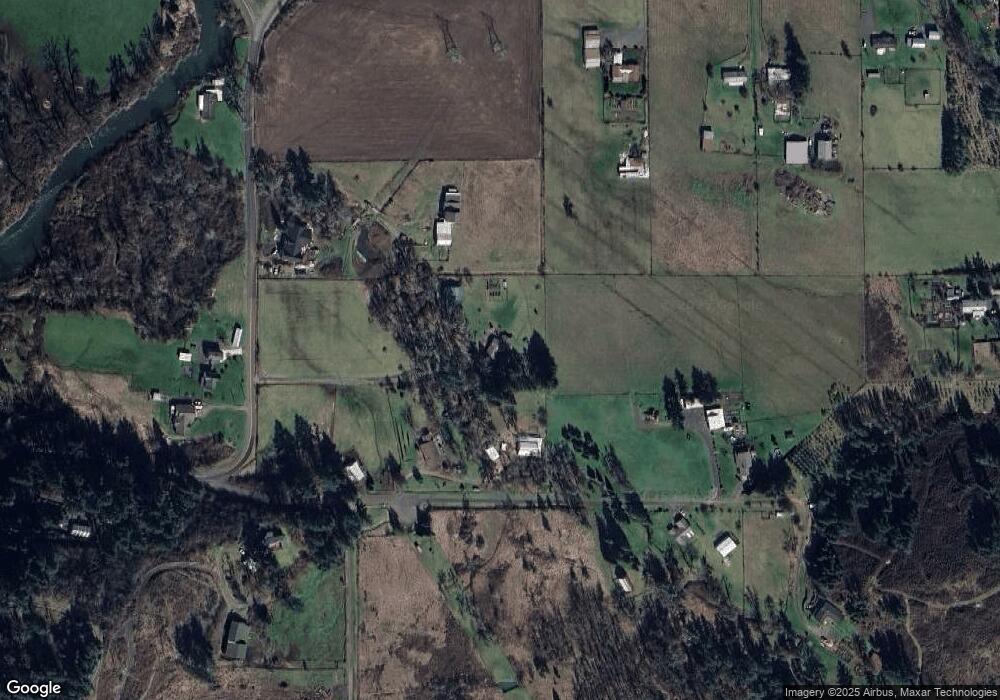
Map
Nearby Homes
- 37186 Tree Farm Rd
- 37082 Goats Rd
- 91375 Marcola Rd
- 0 Hill Rd
- 92020 Maple Ln
- 0 Cascade Woods Dr Unit 24194354
- 92133 Marcola Rd
- 0 Upper Camp Creek Rd Unit 734099093
- 0 Upper Camp Creek Rd Unit 473471921
- 38058 Railroad Ln
- 89112 Sky High Dr
- 38216 Wendling Rd
- 37075 Camp Creek Rd
- 88692 Ermi Bee Rd
- 0 Wendling Rd
- 37276 Camp Creek Rd
- 0 Marcola Rd
- 0 Boiler Creek Rd
- 6898 Thurston Rd
- 3333 Hayden Bridge Rd
- 36949 Edgehill Rd
- 90691 Sunderman Rd
- 37035 Edgehill Rd
- 90650 Sunderman Rd
- 36890 Edgehill Rd
- 37010 Tree Farm Rd
- 90646 Sunderman Rd
- 37046 Tree Farm Rd
- 90744 Sunderman Rd
- 37056 Tree Farm Rd
- 37040 Edgehill Rd
- 90639 Sunderman Rd
- 36935 Tree Farm Rd
- 37074 Tree Farm Rd
- 36971 Tree Farm Rd
- 90797 Sunderman Rd
- 37041 Tree Farm Rd
- 90802 Sunderman Rd
- 36900 Edgehill Rd
- 37190 Tree Farm Rd
Your Personal Tour Guide
Ask me questions while you tour the home.