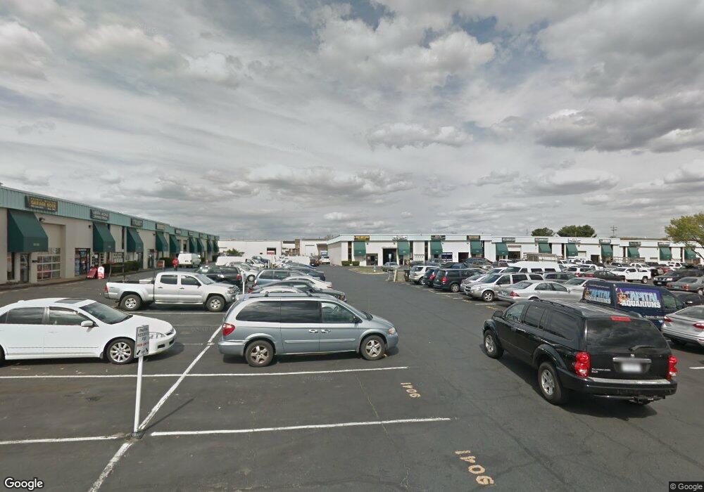
9067 Liberia Ave Unit O Manassas, VA 20110
Old Town Manassas NeighborhoodEstimated Value: $312,000 - $409,982
--
Bed
--
Bath
1,800
Sq Ft
$205/Sq Ft
Est. Value
About This Home
This home is located at 9067 Liberia Ave Unit O, Manassas, VA 20110 and is currently estimated at $369,746, approximately $205 per square foot. 9067 Liberia Ave Unit O is a home located in Manassas City with nearby schools including Baldwin Elementary School, Mayfield Intermediate School, and Grace E. Metz Middle School.
Ownership History
Date
Name
Owned For
Owner Type
Purchase Details
Closed on
Nov 2, 2023
Sold by
Akberzie Assadullah R
Bought by
Farhat Freba
Current Estimated Value
Purchase Details
Closed on
Apr 17, 2015
Sold by
Low Oglesby Enterprises Llc
Bought by
Akberzie Assadullah R
Home Financials for this Owner
Home Financials are based on the most recent Mortgage that was taken out on this home.
Original Mortgage
$164,000
Interest Rate
3.86%
Mortgage Type
Construction
Create a Home Valuation Report for This Property
The Home Valuation Report is an in-depth analysis detailing your home's value as well as a comparison with similar homes in the area
Home Values in the Area
Average Home Value in this Area
Purchase History
| Date | Buyer | Sale Price | Title Company |
|---|---|---|---|
| Farhat Freba | $79,360 | None Listed On Document | |
| Akberzie Assadullah R | $205,000 | -- |
Source: Public Records
Mortgage History
| Date | Status | Borrower | Loan Amount |
|---|---|---|---|
| Previous Owner | Akberzie Assadullah R | $164,000 |
Source: Public Records
Tax History Compared to Growth
Tax History
| Year | Tax Paid | Tax Assessment Tax Assessment Total Assessment is a certain percentage of the fair market value that is determined by local assessors to be the total taxable value of land and additions on the property. | Land | Improvement |
|---|---|---|---|---|
| 2024 | $3,784 | $300,300 | $75,000 | $225,300 |
| 2023 | $3,784 | $300,300 | $75,000 | $225,300 |
| 2022 | $3,760 | $280,200 | $75,000 | $205,200 |
| 2021 | $3,482 | $243,700 | $75,000 | $168,700 |
| 2020 | $3,558 | $243,700 | $75,000 | $168,700 |
| 2019 | $3,607 | $243,700 | $75,000 | $168,700 |
| 2018 | $3,558 | $243,700 | $75,000 | $168,700 |
| 2017 | -- | $243,700 | $75,000 | $168,700 |
| 2016 | $3,419 | $243,700 | $0 | $0 |
| 2015 | -- | $243,700 | $75,000 | $168,700 |
| 2014 | -- | $0 | $0 | $0 |
Source: Public Records
Map
Nearby Homes
- 9552 Cannoneer Ct Unit 204
- 9554 Cannoneer Ct Unit 101
- 8385 Buttress Ln Unit 103
- 8393 Buttress Ln Unit 101
- 8243 Knight Station Way
- 8264 Knight Station Way
- 9576 Jayhawk Terrace Unit 401
- 8639 Union Place
- 8605 Burnside Ct
- 8503 Clearridge Ln
- 167 Scott Dr
- 9203 Matthew Dr
- 8300 Sunnyside Ct
- 1106A Dabney Dr
- 1110B Dabney Dr
- 1108B Dabney Dr
- 1112B Dabney Dr
- 8941 Quarry Rd
- 1012B Mays Ln
- 1002 Mays Ln
- 9067 Liberia Ave
- 9069 Liberia Ave
- 9073 Liberia Ave
- 9071 Liberia Ave
- 9075 Liberia Ave
- 9037 Liberia Ave
- 9077 Liberia Ave
- 9079 Liberia Ave
- 9079 Liberia Ave Unit U
- 9081 Liberia Ave
- 9081 Liberia Ave Unit V
- 9070 Euclid Ave
- 9065 Liberia Ave
- 9061 Liberia Ave
- 9059 Liberia Ave
- 9057 Liberia Ave
- 9063 Liberia Ave
- 9083 Liberia Ave Unit W
- 9083 Liberia Ave
- 9053 Liberia Ave