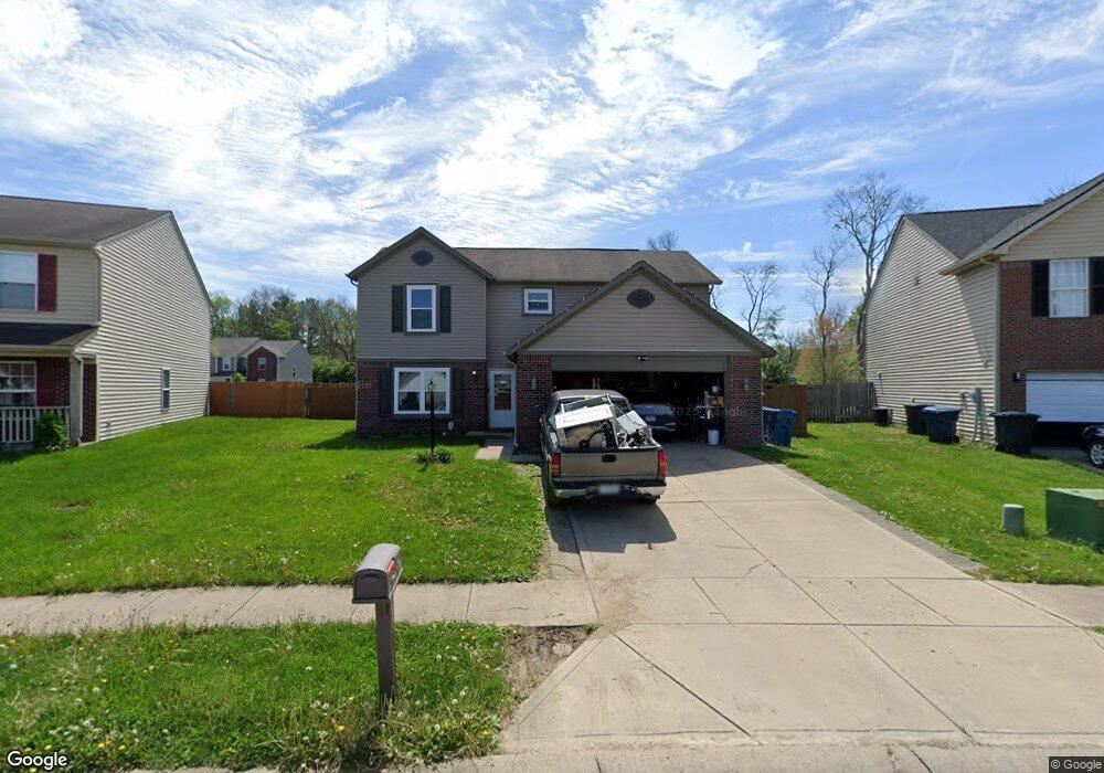
907 Angus Ln Indianapolis, IN 46217
Linden Wood NeighborhoodEstimated Value: $262,000 - $282,381
--
Bed
2
Baths
1,951
Sq Ft
$140/Sq Ft
Est. Value
About This Home
This home is located at 907 Angus Ln, Indianapolis, IN 46217 and is currently estimated at $273,595, approximately $140 per square foot. 907 Angus Ln is a home located in Marion County with nearby schools including William Henry Burkhart Elementary School, Perry Meridian 6th Grade Academy, and Perry Meridian Middle School.
Ownership History
Date
Name
Owned For
Owner Type
Purchase Details
Closed on
Jan 11, 2008
Sold by
Rager Angela D and Montgomery Angela D
Bought by
Montgomery Angela D
Current Estimated Value
Home Financials for this Owner
Home Financials are based on the most recent Mortgage that was taken out on this home.
Original Mortgage
$150,220
Outstanding Balance
$91,563
Interest Rate
5.51%
Mortgage Type
FHA
Estimated Equity
$182,032
Purchase Details
Closed on
Jul 29, 2005
Sold by
Dura Builders Inc
Bought by
Rager Angela D
Home Financials for this Owner
Home Financials are based on the most recent Mortgage that was taken out on this home.
Original Mortgage
$124,757
Interest Rate
5.66%
Mortgage Type
Adjustable Rate Mortgage/ARM
Purchase Details
Closed on
Apr 25, 2005
Sold by
Gsl & C Llc
Bought by
Dura Builders Inc
Create a Home Valuation Report for This Property
The Home Valuation Report is an in-depth analysis detailing your home's value as well as a comparison with similar homes in the area
Home Values in the Area
Average Home Value in this Area
Purchase History
| Date | Buyer | Sale Price | Title Company |
|---|---|---|---|
| Montgomery Angela D | -- | Perimeter Title Llc | |
| Rager Angela D | -- | None Available | |
| Dura Builders Inc | -- | None Available |
Source: Public Records
Mortgage History
| Date | Status | Borrower | Loan Amount |
|---|---|---|---|
| Open | Montgomery Angela D | $150,220 | |
| Closed | Rager Angela D | $124,757 |
Source: Public Records
Tax History Compared to Growth
Tax History
| Year | Tax Paid | Tax Assessment Tax Assessment Total Assessment is a certain percentage of the fair market value that is determined by local assessors to be the total taxable value of land and additions on the property. | Land | Improvement |
|---|---|---|---|---|
| 2024 | $3,543 | $275,800 | $53,400 | $222,400 |
| 2023 | $3,543 | $271,900 | $53,400 | $218,500 |
| 2022 | $3,280 | $244,800 | $53,400 | $191,400 |
| 2021 | $2,964 | $220,900 | $53,400 | $167,500 |
| 2020 | $2,758 | $205,000 | $53,400 | $151,600 |
| 2019 | $2,263 | $168,800 | $36,600 | $132,200 |
| 2018 | $2,188 | $161,200 | $36,600 | $124,600 |
| 2017 | $1,904 | $144,600 | $36,600 | $108,000 |
| 2016 | $1,873 | $142,300 | $36,600 | $105,700 |
| 2014 | $1,783 | $150,600 | $36,600 | $114,000 |
| 2013 | $1,767 | $150,600 | $36,600 | $114,000 |
Source: Public Records
Map
Nearby Homes
- 923 Bogalusa Ct
- 7236 Barnwell Place
- 7303 Beal Ln
- 7327 Oak Knoll Dr
- 7616 Buck Valley Ct
- 7151 Beal Ln
- 1314 Tommy Lee Ct
- 7214 Brant Pointe Cir
- 631 Deer Trail Dr
- 1108 Nanwich Ct
- 7732 Silver Fox Dr
- 7834 Burr Oak Ct
- 7126 Forest Park Dr
- 1148 Nanwich Ct
- 614 Silver Fox Ct
- 7412 Lattice Dr
- 528 Silver Fox Ct
- 7146 Chandler Ct
- 7201 Broyles Ln
- 7259 Registry Dr