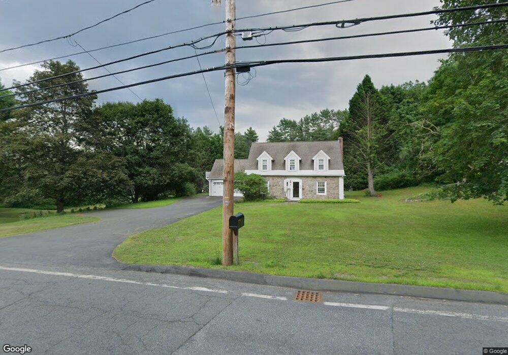
907 Bernardston Rd Greenfield, MA 01301
Estimated Value: $406,000 - $565,000
3
Beds
3
Baths
2,472
Sq Ft
$211/Sq Ft
Est. Value
About This Home
This home is located at 907 Bernardston Rd, Greenfield, MA 01301 and is currently estimated at $521,748, approximately $211 per square foot. 907 Bernardston Rd is a home located in Franklin County with nearby schools including Greenfield Center School, Cornerstone Christian School, and Stoneleigh-Burnham School.
Ownership History
Date
Name
Owned For
Owner Type
Purchase Details
Closed on
Aug 29, 2008
Sold by
Hodgdon Charles W and Hodgdon Roberta N
Bought by
Vincent Marcia L
Current Estimated Value
Home Financials for this Owner
Home Financials are based on the most recent Mortgage that was taken out on this home.
Original Mortgage
$225,600
Outstanding Balance
$148,393
Interest Rate
6.29%
Mortgage Type
Purchase Money Mortgage
Estimated Equity
$373,355
Purchase Details
Closed on
Nov 3, 2000
Sold by
Martin Susan L
Bought by
Hodgdon Roberta N and Hodgdon Charles A
Create a Home Valuation Report for This Property
The Home Valuation Report is an in-depth analysis detailing your home's value as well as a comparison with similar homes in the area
Home Values in the Area
Average Home Value in this Area
Purchase History
| Date | Buyer | Sale Price | Title Company |
|---|---|---|---|
| Vincent Marcia L | $282,000 | -- | |
| Vincent Marcia L | $282,000 | -- | |
| Hodgdon Roberta N | $140,000 | -- | |
| Hodgdon Roberta N | $140,000 | -- |
Source: Public Records
Mortgage History
| Date | Status | Borrower | Loan Amount |
|---|---|---|---|
| Open | Vincent Marcia L | $225,600 | |
| Closed | Hodgdon Roberta N | $225,600 | |
| Previous Owner | Hodgdon Roberta N | $25,000 |
Source: Public Records
Tax History Compared to Growth
Tax History
| Year | Tax Paid | Tax Assessment Tax Assessment Total Assessment is a certain percentage of the fair market value that is determined by local assessors to be the total taxable value of land and additions on the property. | Land | Improvement |
|---|---|---|---|---|
| 2025 | $8,837 | $451,800 | $106,100 | $345,700 |
| 2024 | $8,921 | $437,500 | $96,300 | $341,200 |
| 2023 | $8,037 | $409,000 | $96,300 | $312,700 |
| 2022 | $7,819 | $350,300 | $91,900 | $258,400 |
| 2021 | $7,161 | $308,400 | $89,500 | $218,900 |
| 2020 | $6,884 | $300,200 | $89,500 | $210,700 |
| 2019 | $6,471 | $289,400 | $78,700 | $210,700 |
| 2018 | $6,361 | $283,600 | $77,100 | $206,500 |
| 2017 | $6,050 | $278,400 | $77,100 | $201,300 |
| 2016 | $6,290 | $288,400 | $75,900 | $212,500 |
| 2015 | $6,019 | $267,400 | $73,900 | $193,500 |
| 2014 | $5,486 | $267,200 | $73,900 | $193,300 |
Source: Public Records
Map
Nearby Homes
- 31 Lovers Ln
- 971 Bernardston Rd
- 793 Bernardston Rd
- 001 Adams Rd
- 72 Meadowood Dr
- Lot 16 Country Club Rd
- 79 Burnham Rd
- 16 Coolidge Ave
- 34 Brookside Ave
- 87 Oakland St
- 44 Wildwood Ave
- 2 G St
- 83 Eden Trail Branch
- 187 L St
- 14 Warner St
- 18 Crocker Ave
- 29 Unity St
- 335 Federal St
- 35-37 Shattuck St
- 35 Shattuck St Unit 37
- 9 Lovers Ln
- 908 Bernardston Rd
- 921 Bernardston Rd
- 16 Lovers Ln
- 898 Bernardston Rd
- 924 Bernardston Rd
- 890 Bernardston Rd
- 887 Bernardston Rd
- 930 Bernardston Rd
- 30 Lovers Ln
- 879 Bernardston Rd
- 946 Bernardston Rd
- 40 Lovers Ln
- 43 Lovers Ln
- 878 Bernardston Rd
- 38 Lovers Ln
- 51 Lovers Ln
- 950 Bernardston Rd
- 54 Lovers Ln
- 948 Bernardston Rd