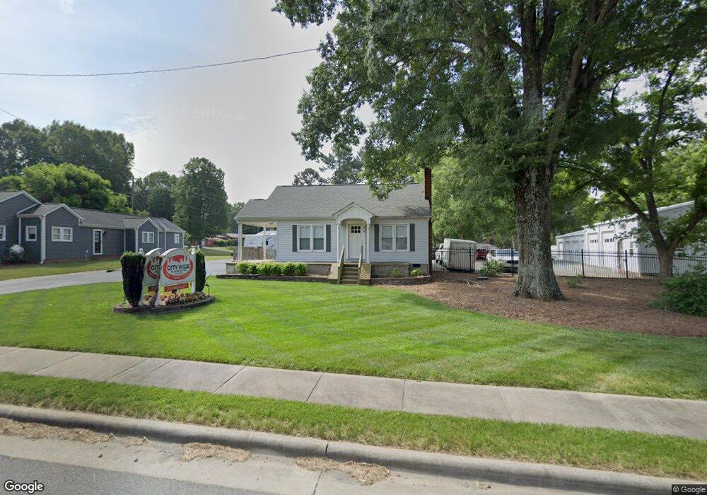
907 Main St W Locust, NC 28097
Estimated Value: $357,000 - $430,644
3
Beds
1
Bath
1,446
Sq Ft
$273/Sq Ft
Est. Value
About This Home
This home is located at 907 Main St W, Locust, NC 28097 and is currently estimated at $394,411, approximately $272 per square foot. 907 Main St W is a home located in Stanly County with nearby schools including Locust Elementary School, West Stanly Middle School, and West Stanly High School.
Ownership History
Date
Name
Owned For
Owner Type
Purchase Details
Closed on
Apr 8, 2015
Sold by
Barbee Rex A and Barbee Linda
Bought by
Hunn & Morr Holdings Llc
Current Estimated Value
Home Financials for this Owner
Home Financials are based on the most recent Mortgage that was taken out on this home.
Original Mortgage
$150,000
Outstanding Balance
$104,166
Interest Rate
3.89%
Mortgage Type
Small Business Administration
Estimated Equity
$290,245
Create a Home Valuation Report for This Property
The Home Valuation Report is an in-depth analysis detailing your home's value as well as a comparison with similar homes in the area
Home Values in the Area
Average Home Value in this Area
Purchase History
| Date | Buyer | Sale Price | Title Company |
|---|---|---|---|
| Hunn & Morr Holdings Llc | $140,000 | Attorney |
Source: Public Records
Mortgage History
| Date | Status | Borrower | Loan Amount |
|---|---|---|---|
| Open | Hunn & Morr Holdings Llc | $150,000 |
Source: Public Records
Tax History
| Year | Tax Paid | Tax Assessment Tax Assessment Total Assessment is a certain percentage of the fair market value that is determined by local assessors to be the total taxable value of land and additions on the property. | Land | Improvement |
|---|---|---|---|---|
| 2025 | $4,044 | $439,578 | $231,336 | $208,242 |
| 2024 | $3,249 | $298,055 | $169,646 | $128,409 |
| 2023 | $3,369 | $298,055 | $169,646 | $128,409 |
| 2022 | $3,339 | $298,055 | $169,646 | $128,409 |
| 2021 | $3,309 | $298,055 | $169,646 | $128,409 |
| 2020 | $2,911 | $249,582 | $146,512 | $103,070 |
| 2019 | $2,940 | $249,582 | $146,512 | $103,070 |
| 2018 | $2,820 | $249,582 | $146,512 | $103,070 |
| 2017 | $2,305 | $203,949 | $146,512 | $57,437 |
| 2016 | $2,133 | $188,759 | $131,090 | $57,669 |
| 2015 | $1,056 | $83,015 | $20,434 | $62,581 |
| 2014 | $1,075 | $83,015 | $20,434 | $62,581 |
Source: Public Records
Map
Nearby Homes
- 211 Drive Inn Rd
- 169 Abigail Ln
- 402 Church St
- TBD Simpson Rd
- Lot 1 Meadow Creek Church Rd Unit 1
- 240 Ella Dr
- 202 Jenkins St
- 206 Montclair Dr
- 716 Saddlebred Ln
- 744 Saddlebred Ln
- 421 Carolina Hemlock Dr
- 417 Kiser Ln
- 107 Oakgrove St
- 207 Kerri Dawn Ln
- 306 Old Hickory Rd
- 617 Ardsley Dr
- 219 Kerri Dawn Ln
- 288 Harrison Ln
- 216 Smith St
- 27 Berea Baptist Church Rd
- 903 Main St W
- 917 Main St W
- 908 Main St W
- 908 W Main St
- 3 Simpson Rd
- 2 Simpson Rd
- 912 Main St W
- 106 Simpson Rd
- 103 Kluttz St
- Lot 1 Simpson Rd
- 919 Main St W
- 103 Simpson Rd
- 105 A Kluttz St
- 0 Tbd West Main St
- 105 Kluttz St
- 818 Main St W
- 108 Simpson Rd
- 105 Simpson Rd
- 107 Kluttz St
- 109 Renee Ford Rd Unit 2,4,5
Your Personal Tour Guide
Ask me questions while you tour the home.