Estimated Value: $177,000 - $194,630
3
Beds
2
Baths
1,235
Sq Ft
$152/Sq Ft
Est. Value
About This Home
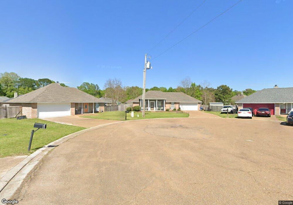
This home is located at 907 Mourning Dove Cove, Byram, MS 39272 and is currently estimated at $187,408, approximately $151 per square foot. 907 Mourning Dove Cove is a home located in Hinds County with nearby schools including Gary Road Elementary School, Gary Road Intermediate School, and Byram Middle School.
Ownership History
Date
Name
Owned For
Owner Type
Purchase Details
Closed on
Nov 20, 2020
Sold by
Lay Daniel Tyson
Bought by
Washington Jamesia and Washington Cortez
Current Estimated Value
Home Financials for this Owner
Home Financials are based on the most recent Mortgage that was taken out on this home.
Original Mortgage
$142,373
Outstanding Balance
$126,692
Interest Rate
2.8%
Mortgage Type
Purchase Money Mortgage
Estimated Equity
$60,716
Create a Home Valuation Report for This Property
The Home Valuation Report is an in-depth analysis detailing your home's value as well as a comparison with similar homes in the area
Home Values in the Area
Average Home Value in this Area
Purchase History
| Date | Buyer | Sale Price | Title Company |
|---|---|---|---|
| Washington Jamesia | -- | None Available |
Source: Public Records
Mortgage History
| Date | Status | Borrower | Loan Amount |
|---|---|---|---|
| Open | Washington Jamesia | $142,373 |
Source: Public Records
Tax History Compared to Growth
Tax History
| Year | Tax Paid | Tax Assessment Tax Assessment Total Assessment is a certain percentage of the fair market value that is determined by local assessors to be the total taxable value of land and additions on the property. | Land | Improvement |
|---|---|---|---|---|
| 2025 | $1,189 | $9,520 | $2,500 | $7,020 |
| 2024 | $1,189 | $9,520 | $2,500 | $7,020 |
| 2023 | $1,189 | $9,520 | $2,500 | $7,020 |
| 2022 | $1,464 | $9,520 | $2,500 | $7,020 |
| 2021 | $1,145 | $9,520 | $2,500 | $7,020 |
| 2020 | $1,108 | $9,395 | $2,500 | $6,895 |
| 2019 | $1,101 | $9,395 | $2,500 | $6,895 |
| 2018 | $1,101 | $9,395 | $2,500 | $6,895 |
| 2017 | $1,075 | $9,395 | $2,500 | $6,895 |
| 2016 | $1,075 | $9,395 | $2,500 | $6,895 |
| 2015 | $1,061 | $9,297 | $2,500 | $6,797 |
| 2014 | $1,042 | $9,297 | $2,500 | $6,797 |
Source: Public Records
Map
Nearby Homes
- 4247 Gunar Dr
- 26 Old Bridge Cove
- 5306 Gardens Way
- 4311 Blaine Cir
- 1934 Christine Dr
- 909 Eagles Nest Dr
- 536 Fairway Ave
- 0 Crossbridge Blvd Unit 4097429
- 00 Crossbridge Blvd
- 59 Tyler Cove
- 2120 Meagan Dr
- 505 Golden Eagle Dr
- 0 Byram Place
- 78 Walsh Cove
- 0 S Siwell Rd Unit 24872982
- 00 S Siwell Rd
- 0 S Siwell Rd Unit 4088750
- 0 Henderson Rd Unit 4126215
- 2942 Davis Rd
- 1060 Lake Dockery Rd
- 908 Mourning Dove Cove
- 905 Mourning Dove Cove
- 906 Mourning Dove Cove
- 903 Mourning Dove Cove
- 605 White Dove Cove
- 603 White Dove Cove
- 975 Bullrun Dr
- 1129 Bullrun Dr
- 607 White Dove Cove
- 979 Bullrun Dr
- 1127 Bullrun Dr
- 983 Bullrun Dr
- 967 Bullrun Dr
- 963 Bullrun Dr
- 601 White Dove Cove
- 1022 Bullrun Dr
- 0 White Dove Cove Unit Lot 110 1139737
- 0 White Dove Cove Unit Lot 105
- 1026 Bullrun Dr
- 608 White Dove Cove