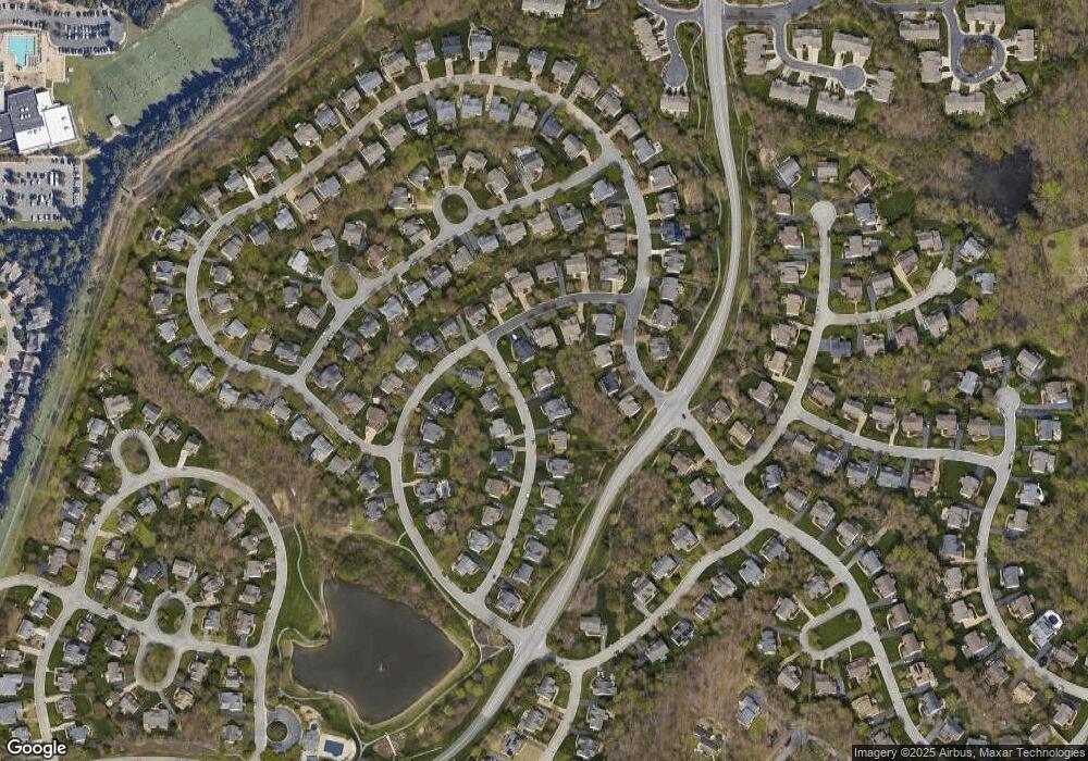
907 Roll Dr Midlothian, VA 23114
Estimated Value: $673,692 - $712,000
5
Beds
3
Baths
3,527
Sq Ft
$197/Sq Ft
Est. Value
About This Home
This home is located at 907 Roll Dr, Midlothian, VA 23114 and is currently estimated at $694,923, approximately $197 per square foot. 907 Roll Dr is a home located in Chesterfield County with nearby schools including J B Watkins Elementary School, Midlothian Middle School, and Midlothian High School.
Ownership History
Date
Name
Owned For
Owner Type
Purchase Details
Closed on
Jul 18, 2008
Sold by
Campbell C Scott
Bought by
Bazemore Steven T
Current Estimated Value
Home Financials for this Owner
Home Financials are based on the most recent Mortgage that was taken out on this home.
Original Mortgage
$319,960
Outstanding Balance
$207,460
Interest Rate
6.17%
Mortgage Type
New Conventional
Estimated Equity
$487,463
Purchase Details
Closed on
Aug 11, 2003
Sold by
Eliot Meadow
Bought by
The Relocation Center Inc
Purchase Details
Closed on
Jun 6, 2002
Sold by
Eagle Construction Of Va Inc
Bought by
Meadow Eliot and Meadow Stephanie
Home Financials for this Owner
Home Financials are based on the most recent Mortgage that was taken out on this home.
Original Mortgage
$179,574
Interest Rate
6.9%
Mortgage Type
New Conventional
Create a Home Valuation Report for This Property
The Home Valuation Report is an in-depth analysis detailing your home's value as well as a comparison with similar homes in the area
Home Values in the Area
Average Home Value in this Area
Purchase History
| Date | Buyer | Sale Price | Title Company |
|---|---|---|---|
| Bazemore Steven T | $399,950 | -- | |
| The Relocation Center Inc | $288,000 | -- | |
| Meadow Eliot | $273,574 | -- |
Source: Public Records
Mortgage History
| Date | Status | Borrower | Loan Amount |
|---|---|---|---|
| Open | Bazemore Steven T | $319,960 | |
| Previous Owner | Meadow Eliot | $179,574 |
Source: Public Records
Tax History
| Year | Tax Paid | Tax Assessment Tax Assessment Total Assessment is a certain percentage of the fair market value that is determined by local assessors to be the total taxable value of land and additions on the property. | Land | Improvement |
|---|---|---|---|---|
| 2025 | $5,191 | $580,500 | $95,000 | $485,500 |
| 2024 | $5,191 | $533,400 | $90,000 | $443,400 |
| 2023 | $4,538 | $498,700 | $86,000 | $412,700 |
| 2022 | $4,198 | $456,300 | $82,000 | $374,300 |
| 2021 | $4,059 | $420,300 | $80,000 | $340,300 |
| 2020 | $3,875 | $407,900 | $80,000 | $327,900 |
| 2019 | $3,663 | $385,600 | $80,000 | $305,600 |
| 2018 | $3,532 | $371,800 | $76,000 | $295,800 |
| 2017 | $3,569 | $371,800 | $76,000 | $295,800 |
| 2016 | $3,627 | $377,800 | $76,000 | $301,800 |
| 2015 | $3,652 | $377,800 | $76,000 | $301,800 |
| 2014 | $3,652 | $377,800 | $76,000 | $301,800 |
Source: Public Records
Map
Nearby Homes
- 13300 Ridgemoor Ln
- 600 Fern Meadow Loop Unit 304
- 13201 Glenmeadow Ct
- 440 Coalfield Rd
- 604 Bristol Village Dr Unit 303
- 604 Bristol Village Dr Unit 104
- 614 Bristol Village Dr Unit 203
- 430 Coalfield Rd
- 450 Coalfield Rd
- 332 Glenpark Ln
- 734 Bristol Village Dr Unit 208
- 351 Walton Park Rd
- 426 Coalfield Rd
- 12831 Ashtree Rd
- 13235 Garland Ln
- 13239 Garland Ln
- 13267 Garland Ln
- 13217 Garland Ln
- 13205 Garland Ln
- 13210 Garland Ln
- 913 Roll Dr
- 13700 Grove Pond Dr
- 13712 Grove Pond Dr
- 848 Coalbrook Dr
- 13718 Grove Pond Dr
- 854 Coalbrook Dr
- 906 Roll Dr
- 919 Roll Dr
- 912 Roll Dr
- 13624 Grove Pond Dr
- 13730 Grove Pond Dr
- 860 Coalbrook Dr
- 925 Roll Dr
- 924 Roll Dr
- 13707 Grove Pond Dr
- 13701 Grove Pond Dr
- 13713 Grove Pond Dr
- 13612 Grove Pond Dr
- 13719 Grove Pond Dr
- 13625 Grove Pond Dr
