907 W Homedale Rd Unit Homedale rd Caldwell, ID 83607
Estimated Value: $530,000 - $659,115
3
Beds
2
Baths
1,870
Sq Ft
$314/Sq Ft
Est. Value
About This Home
This home is located at 907 W Homedale Rd Unit Homedale rd, Caldwell, ID 83607 and is currently estimated at $587,029, approximately $313 per square foot. 907 W Homedale Rd Unit Homedale rd is a home located in Canyon County with nearby schools including West Canyon Elementary School, Vallivue Middle School, and Vallivue High School.
Ownership History
Date
Name
Owned For
Owner Type
Purchase Details
Closed on
Oct 8, 2025
Sold by
King Betty Jo
Bought by
Terry L King And Betty Jo King Family Trust and King
Current Estimated Value
Purchase Details
Closed on
Nov 22, 2013
Sold by
King Terry L
Bought by
King Terry L and King Betty Jo
Create a Home Valuation Report for This Property
The Home Valuation Report is an in-depth analysis detailing your home's value as well as a comparison with similar homes in the area
Home Values in the Area
Average Home Value in this Area
Purchase History
| Date | Buyer | Sale Price | Title Company |
|---|---|---|---|
| Terry L King And Betty Jo King Family Trust | -- | None Listed On Document | |
| Terry L King And Betty Jo King Family Trust | -- | None Listed On Document | |
| King Terry L | -- | None Available |
Source: Public Records
Tax History Compared to Growth
Tax History
| Year | Tax Paid | Tax Assessment Tax Assessment Total Assessment is a certain percentage of the fair market value that is determined by local assessors to be the total taxable value of land and additions on the property. | Land | Improvement |
|---|---|---|---|---|
| 2025 | $2,023 | $559,860 | $209,760 | $350,100 |
| 2024 | $2,023 | $546,900 | $210,400 | $336,500 |
| 2023 | $2,007 | $549,480 | $211,080 | $338,400 |
| 2022 | $2,547 | $601,160 | $210,760 | $390,400 |
| 2021 | $2,796 | $456,330 | $140,030 | $316,300 |
| 2020 | $2,670 | $360,810 | $89,510 | $271,300 |
| 2019 | $2,778 | $341,590 | $79,990 | $261,600 |
| 2018 | $2,665 | $0 | $0 | $0 |
| 2017 | $2,500 | $0 | $0 | $0 |
| 2016 | $2,208 | $0 | $0 | $0 |
| 2015 | $1,811 | $0 | $0 | $0 |
| 2014 | $1,759 | $211,480 | $46,680 | $164,800 |
Source: Public Records
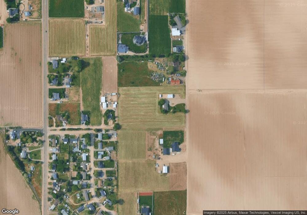
Map
Nearby Homes
- TBD Farmway
- 15698 Yoder Ave
- 4114 & 4121 Laster Ln
- TBD 73+- Lonkey Ln
- 320 Orrison St
- 5416 Sparky Ave
- 406 Orrison St
- 101 Gold Bar Ct
- 5423 Sparky Ave
- 412 Orrison St
- 5413 Sparky Ave
- 5407 Sparky Ave
- Lochsa Plan at Pradera - Brookside
- Camas Plan at Pradera - Brookside
- Bannock Plan at Pradera - Brookside
- Forest Plan at Pradera - Brookside
- TBD Homedale Rd
- 317 Crafts St
- 15920 Canyon Wood Place
- 5425 Juliet Rose Ave
- 907 W Homedale Rd
- 16752 Farmway Rd
- 905 W Homedale Rd
- 16697 Marshall Ln
- 16736 Buckaroo Cir
- 16718 Buckaroo Cir
- 901 W Homedale Rd
- 16895 Marshall Ln
- 16704 Buckaroo Cir
- 16760 Farmway Rd
- 16686 Buckaroo Cir
- 16733 Buckaroo Cir
- 16670 Buckaroo Cir
- 16664 Buckaroo Cir
- 15947 Bronc Ln
- 16768 Farmway Rd
- 16705 Buckaroo Cir
- 16654 Buckaroo Cir
- 16689 Buckaroo Cir
- 15969 Bronc Ln