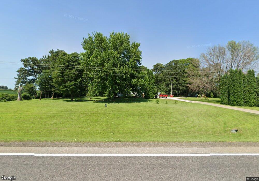
90720 State Highway 251 Austin, MN 55912
Estimated Value: $233,000 - $433,000
3
Beds
2
Baths
1,188
Sq Ft
$265/Sq Ft
Est. Value
About This Home
This home is located at 90720 State Highway 251, Austin, MN 55912 and is currently estimated at $314,802, approximately $264 per square foot. 90720 State Highway 251 is a home located in Freeborn County with nearby schools including Blooming Prairie Elementary School and Blooming Prairie Secondary School.
Ownership History
Date
Name
Owned For
Owner Type
Purchase Details
Closed on
May 31, 2017
Sold by
Schumacher Richard Richard
Bought by
Berglund Jody Jody
Current Estimated Value
Home Financials for this Owner
Home Financials are based on the most recent Mortgage that was taken out on this home.
Original Mortgage
$129,222
Outstanding Balance
$107,486
Interest Rate
4.02%
Mortgage Type
FHA
Estimated Equity
$207,316
Create a Home Valuation Report for This Property
The Home Valuation Report is an in-depth analysis detailing your home's value as well as a comparison with similar homes in the area
Home Values in the Area
Average Home Value in this Area
Purchase History
| Date | Buyer | Sale Price | Title Company |
|---|---|---|---|
| Berglund Jody Jody | $133,000 | -- | |
| Berglund Jody | $133,000 | None Available |
Source: Public Records
Mortgage History
| Date | Status | Borrower | Loan Amount |
|---|---|---|---|
| Open | Berglund Jody | $129,222 | |
| Closed | Berglund Jody Jody | $129,222 |
Source: Public Records
Tax History Compared to Growth
Tax History
| Year | Tax Paid | Tax Assessment Tax Assessment Total Assessment is a certain percentage of the fair market value that is determined by local assessors to be the total taxable value of land and additions on the property. | Land | Improvement |
|---|---|---|---|---|
| 2025 | $2,008 | $252,100 | $77,200 | $174,900 |
| 2024 | $2,132 | $211,300 | $80,000 | $131,300 |
| 2023 | $2,200 | $211,300 | $80,000 | $131,300 |
| 2022 | $1,606 | $202,000 | $65,000 | $137,000 |
| 2021 | $1,406 | $140,300 | $55,000 | $85,300 |
| 2020 | $1,204 | $126,200 | $45,000 | $81,200 |
| 2019 | $1,228 | $126,200 | $45,000 | $81,200 |
| 2018 | $972 | $0 | $0 | $0 |
| 2016 | $904 | $0 | $0 | $0 |
| 2015 | $840 | $0 | $0 | $0 |
| 2014 | $880 | $0 | $0 | $0 |
| 2012 | $1,232 | $0 | $0 | $0 |
Source: Public Records
Map
Nearby Homes
- 50424 305th St
- xxx 900th Ave Bridge
- 87854 Minnesota 251
- 87854 State Highway 251
- 24975 Mower Freeborn Rd
- TBD 266th St & 539th Ave
- TBD 902 Avenue
- 54067 267th St
- 23520 902nd Ave
- 54224 266 St
- 86389 245th St
- 1400 18th Ave NW
- 704 21st Ave NW
- 1200 18th Ave NW Unit 137
- 1200 18th Ave NW Unit 125
- 211 Clinton St
- 1905 Burr Oak Dr Unit C
- TBD 30th Ave NE
- 650 33rd St NW
- 84237 State Highway 251
- 90555 State Highway 251
- 90550 State Highway 251
- 28331 Mower Freeborn Rd
- 27965 Mower Freeborn Rd
- 90469 State Highway 251
- 90452 State Highway 251
- 27953 Mower Freeborn Rd
- 50024 State Highway 251
- 50044 50044 Mn 251
- 50044 State Highway 251
- 50044 Highway 251
- 50044 Minnesota 251
- 27667 Mower Freeborn Rd
- 28529 Mower Freeborn Rd
- 90537 273rd St
- 90221 273rd St
- 89785 State Highway 251
- 27107 Mower Freeborn Rd
- 90313 290th St