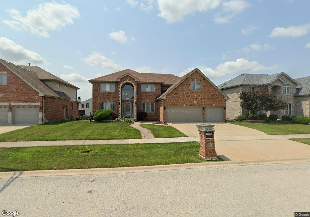
908 Donnington Dr Matteson, IL 60443
West Matteson NeighborhoodEstimated Value: $446,254 - $601,000
4
Beds
3
Baths
3,507
Sq Ft
$145/Sq Ft
Est. Value
About This Home
This home is located at 908 Donnington Dr, Matteson, IL 60443 and is currently estimated at $508,564, approximately $145 per square foot. 908 Donnington Dr is a home located in Cook County with nearby schools including Colin Powell Middle School.
Ownership History
Date
Name
Owned For
Owner Type
Purchase Details
Closed on
Oct 20, 2005
Sold by
State Bank Of Countryside
Bought by
Collins Romelle and Collins Karen
Current Estimated Value
Home Financials for this Owner
Home Financials are based on the most recent Mortgage that was taken out on this home.
Original Mortgage
$366,125
Outstanding Balance
$197,570
Interest Rate
5.89%
Mortgage Type
Fannie Mae Freddie Mac
Estimated Equity
$310,994
Create a Home Valuation Report for This Property
The Home Valuation Report is an in-depth analysis detailing your home's value as well as a comparison with similar homes in the area
Home Values in the Area
Average Home Value in this Area
Purchase History
| Date | Buyer | Sale Price | Title Company |
|---|---|---|---|
| Collins Romelle | $385,500 | Enterprise Land Title Ltd |
Source: Public Records
Mortgage History
| Date | Status | Borrower | Loan Amount |
|---|---|---|---|
| Open | Collins Romelle | $366,125 |
Source: Public Records
Tax History Compared to Growth
Tax History
| Year | Tax Paid | Tax Assessment Tax Assessment Total Assessment is a certain percentage of the fair market value that is determined by local assessors to be the total taxable value of land and additions on the property. | Land | Improvement |
|---|---|---|---|---|
| 2024 | $15,621 | $38,475 | $4,983 | $33,492 |
| 2023 | $13,031 | $41,000 | $4,983 | $36,017 |
| 2022 | $13,031 | $27,759 | $4,304 | $23,455 |
| 2021 | $13,201 | $27,758 | $4,303 | $23,455 |
| 2020 | $12,876 | $27,758 | $4,303 | $23,455 |
| 2019 | $12,225 | $25,804 | $3,850 | $21,954 |
| 2018 | $12,044 | $25,804 | $3,850 | $21,954 |
| 2017 | $11,742 | $25,804 | $3,850 | $21,954 |
| 2016 | $10,974 | $23,703 | $3,397 | $20,306 |
| 2015 | $10,711 | $23,703 | $3,397 | $20,306 |
| 2014 | $13,378 | $29,630 | $3,397 | $26,233 |
| 2013 | $14,099 | $33,277 | $3,397 | $29,880 |
Source: Public Records
Map
Nearby Homes
- 921 Fieldside Dr Unit 1231
- 1008 Willow Rd
- 1000 Warwick Dr
- 6200 Marsh Ln
- 931 Destiny Dr
- 6125 Sunflower Dr
- 733 Old Meadow Rd
- 6260 Sunflower Dr
- 21143 Gray Hawk Dr Unit 2554
- 6037 Spring Ln
- 21222 Whitney Ave
- 6021 Spring Ln
- 970 Regent Dr
- 21206 Sophia Dr
- 6423 Gray Hawk Dr Unit 2716
- 1030 Regent Dr
- 985 Regent Dr
- 997 Regent Dr
- 1005 Regent Dr
- 6230 Streamwood Ln
- 912 Donnington Dr
- 904 Donnington Dr
- 6204 Pond View Dr
- 900 Donnington Dr
- 916 Donnington Dr
- 6208 Pond View Dr
- 909 Donnington Dr
- 909 Donnington Dr
- 6200 Pond View Dr
- 913 Donnington Dr
- 905 Donnington Dr
- 917 Donnington Dr
- 6212 Pond View Dr
- 901 Donnington Dr
- 908 Berkshire Dr
- 920 Donnington Dr
- 912 Berkshire Dr
- 904 Berkshire Dr
- 6216 Pond View Dr
- 913 Great Plains Ave