908 Lawson Rd Fort Ripley, MN 56449
Estimated Value: $292,000 - $731,000
2
Beds
--
Bath
2,856
Sq Ft
$189/Sq Ft
Est. Value
About This Home
This home is located at 908 Lawson Rd, Fort Ripley, MN 56449 and is currently estimated at $538,446, approximately $188 per square foot. 908 Lawson Rd is a home located in Crow Wing County with nearby schools including Riverside Elementary School, Forestview Middle School, and Brainerd Senior High School.
Ownership History
Date
Name
Owned For
Owner Type
Purchase Details
Closed on
Mar 11, 2024
Sold by
Rademacher Judy Ray and Meyer Judy Ray
Bought by
Rademacher Dave Lee
Current Estimated Value
Home Financials for this Owner
Home Financials are based on the most recent Mortgage that was taken out on this home.
Original Mortgage
$343,000
Outstanding Balance
$337,306
Interest Rate
6.64%
Mortgage Type
New Conventional
Estimated Equity
$201,140
Create a Home Valuation Report for This Property
The Home Valuation Report is an in-depth analysis detailing your home's value as well as a comparison with similar homes in the area
Home Values in the Area
Average Home Value in this Area
Purchase History
| Date | Buyer | Sale Price | Title Company |
|---|---|---|---|
| Rademacher Dave Lee | $500 | First American Title Insurance |
Source: Public Records
Mortgage History
| Date | Status | Borrower | Loan Amount |
|---|---|---|---|
| Open | Rademacher Dave Lee | $343,000 |
Source: Public Records
Tax History Compared to Growth
Tax History
| Year | Tax Paid | Tax Assessment Tax Assessment Total Assessment is a certain percentage of the fair market value that is determined by local assessors to be the total taxable value of land and additions on the property. | Land | Improvement |
|---|---|---|---|---|
| 2025 | $3,412 | $628,200 | $146,700 | $481,500 |
| 2024 | $3,412 | $537,700 | $117,300 | $420,400 |
| 2023 | $3,420 | $584,200 | $84,500 | $499,700 |
| 2022 | $3,680 | $524,800 | $75,600 | $449,200 |
| 2021 | $3,632 | $434,000 | $78,000 | $356,000 |
| 2020 | $3,060 | $409,900 | $72,700 | $337,200 |
| 2019 | $2,882 | $357,500 | $68,200 | $289,300 |
| 2018 | $2,172 | $334,300 | $68,100 | $266,200 |
| 2017 | $1,946 | $276,862 | $63,566 | $213,296 |
| 2016 | $2,180 | $250,600 | $53,400 | $197,200 |
| 2015 | $2,142 | $238,800 | $53,200 | $185,600 |
| 2014 | $866 | $194,500 | $52,000 | $142,500 |
Source: Public Records
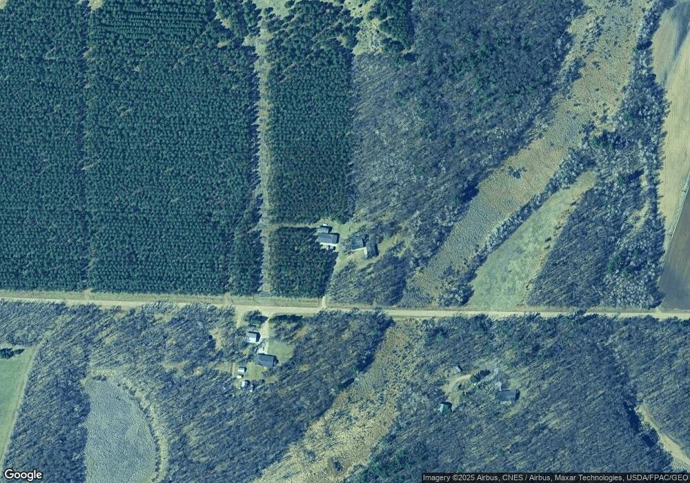
Map
Nearby Homes
- 2761 Mississippi Shores Rd
- 5471 Crow Wing Lake Rd
- 15576 263rd St
- TBD 4.38 Acres 13th Ave SW
- 8624 50th Ave
- 13946 Hardy Lake Rd SW
- 13869 Hardy Lake Rd SW
- TBD 263rd St
- TBD Timber Ridge Dr
- TBD State Highway 371
- Tract B Richfield Rd
- Tract C Richfield Rd
- Tract A Richfield Rd
- xxx Birch Curve Rd
- 5688 Erin Rd
- XXX Mallard Dr
- 13384 Barnett Rd SW
- xxx Cardinal Trail
- 27331 Honey Hill Rd
- TBD Powderhorn Dr
- 866 Lawson Rd
- 866 Lawson Rd
- 1029 Lawson Rd
- 1227 Lawson Rd
- 544 Lawson Rd
- XXX Legend Ln
- 4252 Matte Rd
- 3632 Bedow Rd
- 3805 Bedow Rd
- 1455 Lawson Rd
- 3783 Bedow Rd
- 4398 Matte Rd
- 3292 Staghorn Dr
- 32800 Staghorn Dr
- 3638 Bedow Rd
- 3408 Staghorn Dr
- Tbd* Legend Ln
- 3331 Staghorn Dr
- 3344 Staghorn Dr
- 3381 Legend Ln