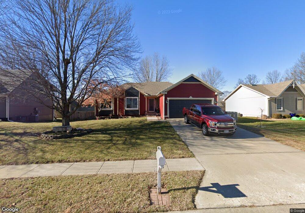
908 Maple St Kearney, MO 64060
Estimated Value: $306,000 - $328,000
3
Beds
3
Baths
1,278
Sq Ft
$246/Sq Ft
Est. Value
About This Home
This home is located at 908 Maple St, Kearney, MO 64060 and is currently estimated at $313,949, approximately $245 per square foot. 908 Maple St is a home located in Clay County with nearby schools including Kearney Junior High School, Kearney High School, and Northern Hills Christian Academy.
Ownership History
Date
Name
Owned For
Owner Type
Purchase Details
Closed on
Apr 20, 2005
Sold by
Ware William S and Ware Christina
Bought by
Hill Douglas W
Current Estimated Value
Home Financials for this Owner
Home Financials are based on the most recent Mortgage that was taken out on this home.
Original Mortgage
$127,890
Outstanding Balance
$66,467
Interest Rate
5.89%
Mortgage Type
FHA
Estimated Equity
$247,482
Purchase Details
Closed on
Apr 4, 2002
Sold by
Kaspzyk Robert L and Kaspzyk Cheryl M
Bought by
Ware William S and Ware Christina
Create a Home Valuation Report for This Property
The Home Valuation Report is an in-depth analysis detailing your home's value as well as a comparison with similar homes in the area
Home Values in the Area
Average Home Value in this Area
Purchase History
| Date | Buyer | Sale Price | Title Company |
|---|---|---|---|
| Hill Douglas W | -- | Old Republic | |
| Ware William S | -- | -- |
Source: Public Records
Mortgage History
| Date | Status | Borrower | Loan Amount |
|---|---|---|---|
| Open | Hill Douglas W | $127,890 |
Source: Public Records
Tax History
| Year | Tax Paid | Tax Assessment Tax Assessment Total Assessment is a certain percentage of the fair market value that is determined by local assessors to be the total taxable value of land and additions on the property. | Land | Improvement |
|---|---|---|---|---|
| 2025 | $2,934 | $48,070 | -- | -- |
| 2024 | $2,934 | $42,810 | -- | -- |
| 2023 | $2,924 | $42,810 | $0 | $0 |
| 2022 | $2,570 | $36,390 | $0 | $0 |
| 2021 | $2,519 | $36,385 | $4,180 | $32,205 |
| 2020 | $2,485 | $32,640 | $0 | $0 |
| 2019 | $2,471 | $32,640 | $0 | $0 |
Source: Public Records
Map
Nearby Homes
- 905 Susan St
- 1202 Noah's Ln
- 1204 Noah's Ln
- 819 Susan St
- 1209 Noah's Ln
- 623 E 13th St
- 1300 Robin Cir
- 1307 Stonecrest Dr
- 200 E 10th St
- 402 E 14th St
- 1505 Emerald Cir
- 801 Southbrook Pkwy
- 1300 Melissa Ct
- 1304 S Jefferson St
- 201 S Marimack Dr
- 1710 Rockwater Ln
- 307 W 11th Terrace
- 709 Feldspar St
- 1302 Regency Dr
- 1207 E 15th St
Your Personal Tour Guide
Ask me questions while you tour the home.