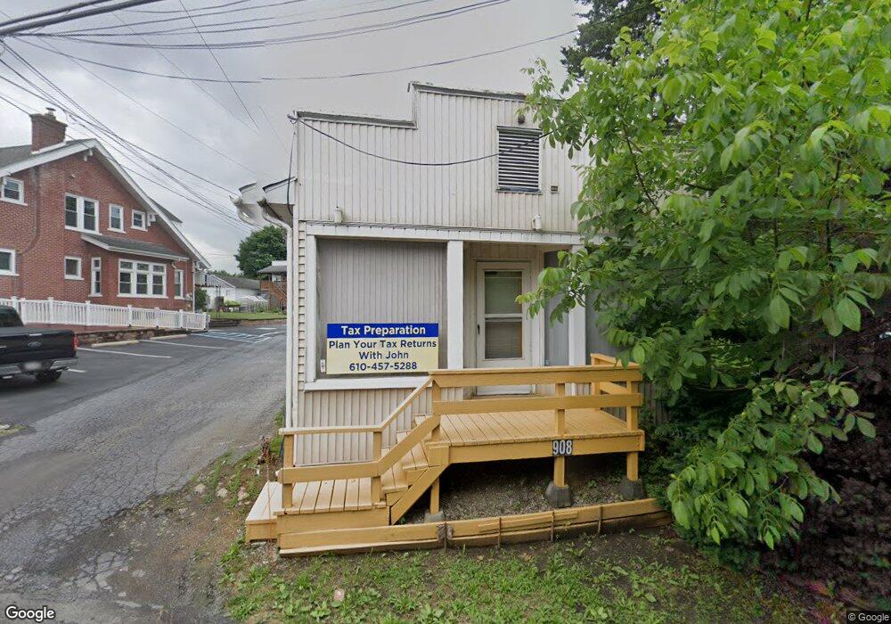
908 N Brookside Rd Allentown, PA 18106
Estimated Value: $287,169
2
Beds
2
Baths
1,572
Sq Ft
$183/Sq Ft
Est. Value
About This Home
This home is located at 908 N Brookside Rd, Allentown, PA 18106 and is currently estimated at $287,169, approximately $182 per square foot. 908 N Brookside Rd is a home located in Lehigh County with nearby schools including Wescosville Elementary School, Lower Macungie Middle School, and Emmaus High School.
Ownership History
Date
Name
Owned For
Owner Type
Purchase Details
Closed on
Mar 29, 2004
Sold by
Snyder Matthew
Bought by
Christianson John D
Current Estimated Value
Purchase Details
Closed on
Dec 20, 2002
Sold by
Mcshane Michael D
Bought by
Snyder Matthew
Home Financials for this Owner
Home Financials are based on the most recent Mortgage that was taken out on this home.
Original Mortgage
$64,000
Interest Rate
6.16%
Mortgage Type
Commercial
Purchase Details
Closed on
Dec 30, 1983
Sold by
Mcshane David L
Bought by
Mcshane Michael D
Purchase Details
Closed on
Dec 3, 1979
Bought by
Mcshane David L
Create a Home Valuation Report for This Property
The Home Valuation Report is an in-depth analysis detailing your home's value as well as a comparison with similar homes in the area
Home Values in the Area
Average Home Value in this Area
Purchase History
| Date | Buyer | Sale Price | Title Company |
|---|---|---|---|
| Christianson John D | $124,900 | -- | |
| Snyder Matthew | $64,900 | -- | |
| Mcshane Michael D | $45,000 | -- | |
| Mcshane David L | $7,500 | -- |
Source: Public Records
Mortgage History
| Date | Status | Borrower | Loan Amount |
|---|---|---|---|
| Previous Owner | Snyder Matthew | $64,000 |
Source: Public Records
Tax History Compared to Growth
Tax History
| Year | Tax Paid | Tax Assessment Tax Assessment Total Assessment is a certain percentage of the fair market value that is determined by local assessors to be the total taxable value of land and additions on the property. | Land | Improvement |
|---|---|---|---|---|
| 2025 | $3,201 | $125,400 | $36,600 | $88,800 |
| 2024 | $3,097 | $125,400 | $36,600 | $88,800 |
| 2023 | $3,036 | $125,400 | $36,600 | $88,800 |
| 2022 | $2,964 | $125,400 | $88,800 | $36,600 |
| 2021 | $2,901 | $125,400 | $36,600 | $88,800 |
| 2020 | $2,873 | $125,400 | $36,600 | $88,800 |
| 2019 | $2,646 | $117,500 | $36,600 | $80,900 |
| 2018 | $2,611 | $117,500 | $36,600 | $80,900 |
| 2017 | $2,566 | $117,500 | $36,600 | $80,900 |
| 2016 | -- | $117,500 | $36,600 | $80,900 |
| 2015 | -- | $117,500 | $36,600 | $80,900 |
| 2014 | -- | $117,500 | $36,600 | $80,900 |
Source: Public Records
Map
Nearby Homes
- 4881 Spruce Rd
- 4626 N Hedgerow Dr
- 1045 Barnside Rd
- 997 Village Round Unit K
- 997K Village Round Unit 104K
- 5300 Hanover Dr
- 1037 Village Round Unit L
- 1270 Minesite Rd
- 5475 Hamilton Blvd Unit 7
- 1385 Brookside Rd
- 5524 Stonecroft Ln
- 5619 Stonecroft Ln
- 5133 Meadow Ln
- 5673 Wedge Ln
- 5736 Greens Dr
- 5280 Townsquare Dr
- 1675 Hamlet Dr
- 6126 Palomino Dr
- 5175 Meadowview Dr
- 5137 Schantz Rd Unit The Jackson
- 908 Brookside Rd
- 920 Brookside Rd
- 896 Brookside Rd
- 928 Brookside Rd
- 928 Brookside Rd Unit 2
- 884 Brookside Rd
- 892 Brookside Rd
- 915 Brookside Rd
- 923 Brookside Rd
- 909 Brookside Rd
- 905 Brookside Rd
- 874 Brookside Rd
- 886 Brookside Rd
- 888 Brookside Rd
- 868 Brookside Rd
- 949 Brookside Rd
- 883 Brookside Rd
- 864 Brookside Rd
- 890 Brookside Rd
- 965 Brookside Rd