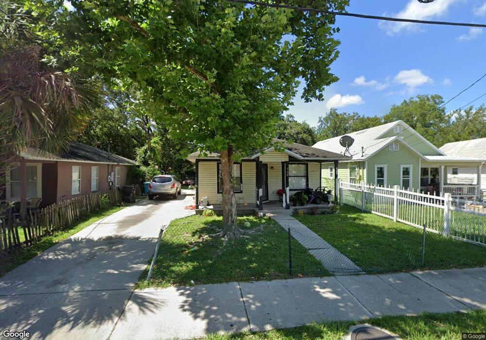
908 W Anderson St Orlando, FL 32805
Parramore NeighborhoodEstimated Value: $185,000 - $261,000
3
Beds
1
Bath
1,094
Sq Ft
$206/Sq Ft
Est. Value
About This Home
This home is located at 908 W Anderson St, Orlando, FL 32805 and is currently estimated at $225,563, approximately $206 per square foot. 908 W Anderson St is a home located in Orange County with nearby schools including OCPS Academic Center for Excellence, Jones High School, and Harvest Baptist Christian Academy.
Ownership History
Date
Name
Owned For
Owner Type
Purchase Details
Closed on
Jun 21, 2011
Sold by
Felix Rachel
Bought by
Felix Twanna M
Current Estimated Value
Purchase Details
Closed on
Feb 22, 2000
Sold by
Habitat For Humanity Of Greater Orl
Bought by
Felix Rachel
Purchase Details
Closed on
Feb 24, 1998
Sold by
Campbell Johnnie L
Bought by
Habitat For Humanity Of Greater Orl
Purchase Details
Closed on
Feb 8, 1994
Sold by
Duhart Alberta
Bought by
Campbell Johnnie Lue
Create a Home Valuation Report for This Property
The Home Valuation Report is an in-depth analysis detailing your home's value as well as a comparison with similar homes in the area
Home Values in the Area
Average Home Value in this Area
Purchase History
| Date | Buyer | Sale Price | Title Company |
|---|---|---|---|
| Felix Twanna M | -- | None Available | |
| Felix Rachel | $53,000 | -- | |
| Habitat For Humanity Of Greater Orl | $6,500 | -- | |
| Campbell Johnnie Lue | $2,500 | -- |
Source: Public Records
Mortgage History
| Date | Status | Borrower | Loan Amount |
|---|---|---|---|
| Closed | Habitat For Humanity Of Greater Orl | $0 | |
| Closed | Habitat For Humanity Of Greater Orl | $45,000 |
Source: Public Records
Tax History Compared to Growth
Tax History
| Year | Tax Paid | Tax Assessment Tax Assessment Total Assessment is a certain percentage of the fair market value that is determined by local assessors to be the total taxable value of land and additions on the property. | Land | Improvement |
|---|---|---|---|---|
| 2025 | $771 | $76,436 | -- | -- |
| 2024 | $713 | $76,436 | -- | -- |
| 2023 | $713 | $72,118 | $0 | $0 |
| 2022 | $702 | $70,017 | $0 | $0 |
| 2021 | $701 | $67,978 | $0 | $0 |
| 2020 | $672 | $67,039 | $0 | $0 |
| 2019 | $700 | $65,532 | $0 | $0 |
| 2018 | $700 | $64,310 | $0 | $0 |
| 2017 | $697 | $62,987 | $12,100 | $50,887 |
| 2016 | $1,280 | $59,346 | $10,000 | $49,346 |
| 2015 | $1,274 | $57,763 | $10,000 | $47,763 |
| 2014 | $543 | $55,950 | $13,000 | $42,950 |
Source: Public Records
Map
Nearby Homes
- 1013 Randall St
- 1017 Randall St
- 811 Colyer St
- 433 S Lee Ave
- 1025 Colyer St Unit A/B
- 1029 Colyer St
- 440 Mcfall Ave
- 727 Quill Ave
- 509 Grove Ave
- 1232 Conley St
- 0 Easy Ave
- 724 Grove Ave
- 1202 Cypress St
- 1023 W Gore St
- 544 Murphy St
- 1122 Dewitt Dr
- 907 Columbia St
- 107 Garden Ave
- 944 Columbia St
- 222 N Parramore Ave
- 912 W Anderson St
- 904 W Anderson St
- 914 W Anderson St
- 909 Long St
- 509 S Westmoreland Dr
- 913 Long St
- 905 Long St
- 913 W Anderson St
- 907 W Anderson St
- 915 W Anderson St
- 905 W Anderson St
- 901 W Anderson St
- 901 W Anderson St Unit B
- 505 Jernigan Ave
- 439 S Westmoreland Dr
- 900 W Anderson St
- 816 W Anderson St
- 908 Randall St
- 817 W Anderson St
- 912 Randall St