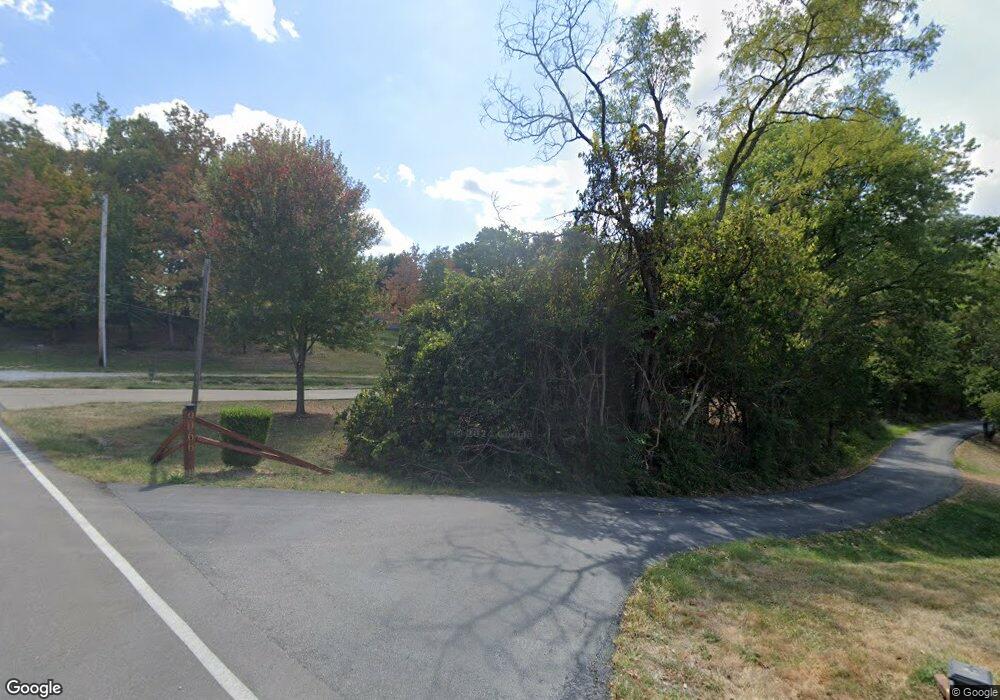
9080 Porter Rd Ryland Hght, KY 41015
Estimated Value: $162,083 - $206,000
2
Beds
1
Bath
820
Sq Ft
$224/Sq Ft
Est. Value
About This Home
This home is located at 9080 Porter Rd, Ryland Hght, KY 41015 and is currently estimated at $183,771, approximately $224 per square foot. 9080 Porter Rd is a home located in Kenton County with nearby schools including Ryland Heights Elementary School, Woodland Middle School, and Scott High School.
Ownership History
Date
Name
Owned For
Owner Type
Purchase Details
Closed on
Jan 5, 2017
Sold by
Ayyoub Jamal and Faronia Hana
Bought by
Ayyoub Jamal and Faronia Hana
Current Estimated Value
Purchase Details
Closed on
Dec 18, 2012
Sold by
Sharon Cindy
Bought by
Ayyoub Jamal
Purchase Details
Closed on
Oct 13, 2012
Sold by
Bigham Deanna
Bought by
Sharon Cindy
Purchase Details
Closed on
May 13, 2002
Sold by
Hopper Stanley
Bought by
Bigham Frank and Bigham Deanna
Create a Home Valuation Report for This Property
The Home Valuation Report is an in-depth analysis detailing your home's value as well as a comparison with similar homes in the area
Home Values in the Area
Average Home Value in this Area
Purchase History
| Date | Buyer | Sale Price | Title Company |
|---|---|---|---|
| Ayyoub Jamal | -- | Kentucky Land Title Agency I | |
| Ayyoub Jamal | -- | None Available | |
| Sharon Cindy | $72,000 | Kentucky Land Title Agency | |
| Bigham Frank | $76,000 | -- |
Source: Public Records
Tax History Compared to Growth
Tax History
| Year | Tax Paid | Tax Assessment Tax Assessment Total Assessment is a certain percentage of the fair market value that is determined by local assessors to be the total taxable value of land and additions on the property. | Land | Improvement |
|---|---|---|---|---|
| 2024 | $535 | $90,000 | $10,000 | $80,000 |
| 2023 | $552 | $90,000 | $10,000 | $80,000 |
| 2022 | $1,215 | $90,000 | $10,000 | $80,000 |
| 2021 | $1,003 | $72,000 | $5,000 | $67,000 |
| 2020 | $1,012 | $72,000 | $5,000 | $67,000 |
| 2019 | $1,014 | $72,000 | $5,000 | $67,000 |
| 2018 | $1,020 | $72,000 | $5,000 | $67,000 |
| 2017 | $997 | $72,000 | $5,000 | $67,000 |
| 2015 | $959 | $72,000 | $10,000 | $62,000 |
| 2014 | $941 | $72,000 | $10,000 | $62,000 |
Source: Public Records
Map
Nearby Homes
- 3155 Drew Ln
- 5867 Southpointe Ln
- 203-B Decoursey Pike
- 5809 Taylor Mill Rd
- 714 Saint Matthews Cir
- 5484 Taylor Mill Rd
- 9670 Decoursey Pike
- 721 Vincent Dr
- 489 Elm Rd
- 451 Spencely Ct
- 3289 Wayman Branch Rd
- 1477 Hands Pike
- 3399 Heathermoor Blvd
- 3257 Ivy Ridge Dr
- 731 Lone Oak Dr
- 720 Lone Oak Dr
- 750 Ezra Dr
- 725 Ezra Dr
- 718 Ezra Dr
- 676 Manor Dr
- 9152 Porter Rd
- 9074 Porter Rd
- 9079 Porter Rd
- 9158 Porter Rd
- 9064 Porter Rd
- 9066 Porter Rd
- 9166 Porter Rd
- 9081 Porter Rd
- 0 Porter Rd
- 9028 Porter Rd
- 9157 Porter Rd
- 1 Peace Way
- 9182 Porter Rd
- 9194 Porter Rd
- 9190 Porter Rd
- 9200 Porter Rd
- 9204 Porter Rd
- 3141 Chippingcamden Unit 55
- 750 Elm
- 0 69 & 70 Clubhouse Dr Unit 298377
