9080 Tartan Dr Unit Bldg-Unit Clarkston, MI 48348
Estimated Value: $401,000 - $424,000
3
Beds
3
Baths
1,882
Sq Ft
$220/Sq Ft
Est. Value
About This Home
This home is located at 9080 Tartan Dr Unit Bldg-Unit, Clarkston, MI 48348 and is currently estimated at $413,847, approximately $219 per square foot. 9080 Tartan Dr Unit Bldg-Unit is a home located in Oakland County with nearby schools including Springfield Christian Academy.
Ownership History
Date
Name
Owned For
Owner Type
Purchase Details
Closed on
Dec 15, 2017
Sold by
Coleman Matt and Coleman Lizbeth J
Bought by
Nordman Bruce Anthony and Nordman Kathryn
Current Estimated Value
Home Financials for this Owner
Home Financials are based on the most recent Mortgage that was taken out on this home.
Original Mortgage
$204,500
Outstanding Balance
$171,993
Interest Rate
3.9%
Mortgage Type
New Conventional
Estimated Equity
$241,854
Purchase Details
Closed on
Sep 23, 2016
Sold by
Coleman Matt and Coleman Lizbeth J
Bought by
Coleman Matt and Coleman Lizbeth J
Create a Home Valuation Report for This Property
The Home Valuation Report is an in-depth analysis detailing your home's value as well as a comparison with similar homes in the area
Home Values in the Area
Average Home Value in this Area
Purchase History
| Date | Buyer | Sale Price | Title Company |
|---|---|---|---|
| Nordman Bruce Anthony | $230,000 | None Available | |
| Coleman Matt | -- | None Available |
Source: Public Records
Mortgage History
| Date | Status | Borrower | Loan Amount |
|---|---|---|---|
| Open | Nordman Bruce Anthony | $204,500 |
Source: Public Records
Tax History Compared to Growth
Tax History
| Year | Tax Paid | Tax Assessment Tax Assessment Total Assessment is a certain percentage of the fair market value that is determined by local assessors to be the total taxable value of land and additions on the property. | Land | Improvement |
|---|---|---|---|---|
| 2024 | $2,797 | $165,510 | $0 | $0 |
| 2023 | $2,667 | $153,050 | $0 | $0 |
| 2022 | $3,700 | $142,910 | $0 | $0 |
| 2021 | $3,402 | $129,600 | $0 | $0 |
| 2020 | $2,442 | $119,200 | $0 | $0 |
| 2018 | $3,291 | $107,500 | $15,000 | $92,500 |
| 2015 | -- | $81,500 | $0 | $0 |
| 2014 | -- | $74,500 | $0 | $0 |
| 2011 | -- | $70,200 | $0 | $0 |
Source: Public Records
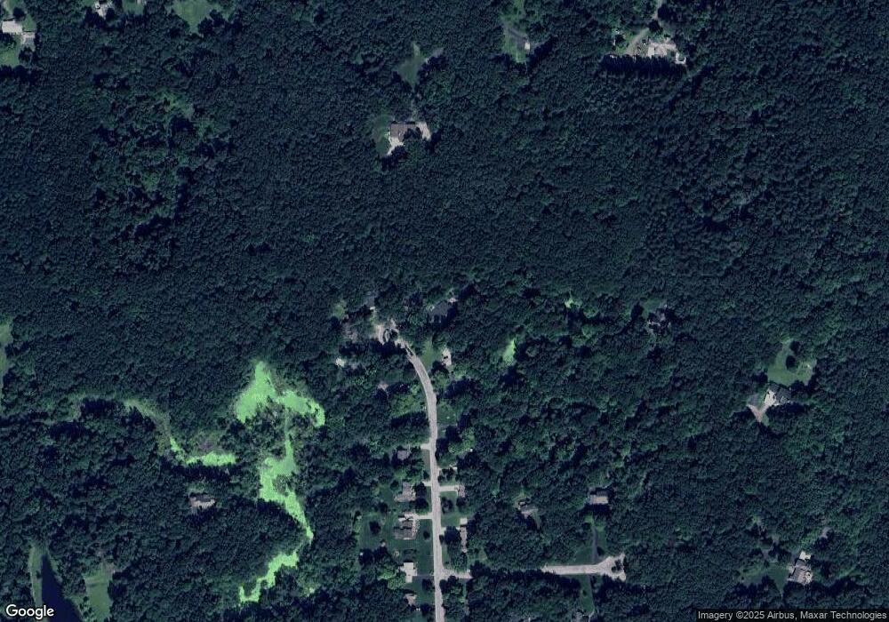
Map
Nearby Homes
- 8911 Tartan Dr
- 9635 Norman Rd
- 9877 Dixie Hwy
- 9876 Dixie Hwy
- 9866 Dixie Hwy
- 0 Dixie Hwy Unit 20251027429
- 9150 Rattalee Lake Rd
- 10086 King Rd
- 8700 Clarridge Rd
- 8453 Harbortowne Dr
- 0000 Bridge Lake Rd
- 00 Dixie Hwy
- 9765 Dixie Hwy
- 10418 King Rd
- 9595 Windsor Ln
- 8410 S Shore Dr Unit 29
- 9318 Wildflower Way Unit 11
- 8485 Waumegah Rd
- 9580 Dixie Hwy
- 10145 Creekwood Trail
- 9080 Tartan Dr
- 9090 Tartan Dr
- 9072 Tartan Dr
- 9062 Tartan Dr
- 9098 Tartan Dr
- 9073 Tartan Dr
- 9091 Tartan Dr
- 9081 Tartan Dr
- 9050 Tartan Dr
- 9043 Tartan Dr
- 9042 Tartan Dr
- 9032 Tartan Dr
- 9033 Tartan Dr
- 9742 Naiad Rd
- 9025 Tartan Dr
- 9020 Tartan Dr
- 9728 Naiad Rd
- 9647 Rattalee Lake Rd
- 9011 Tartan Dr
- 8999 Tartan Dr