Estimated Value: $112,679 - $149,000
Studio
--
Bath
1,350
Sq Ft
$96/Sq Ft
Est. Value
About This Home
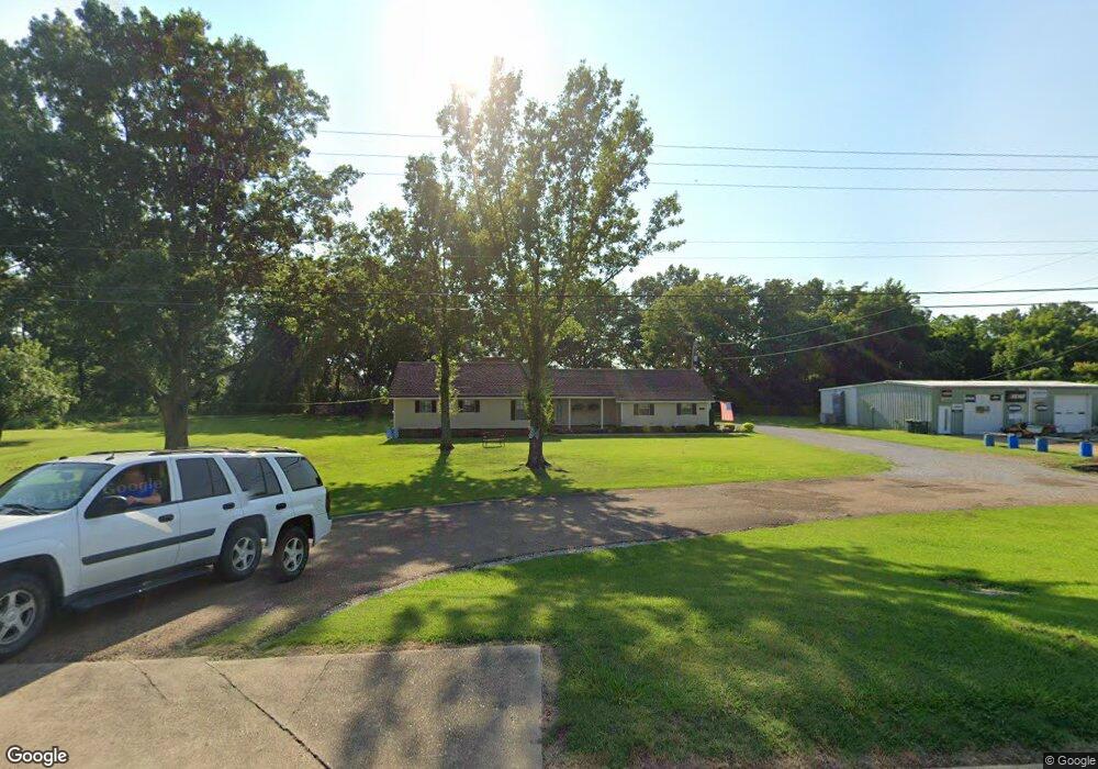
This home is located at 9081 Main, Colt, AR 72326 and is currently estimated at $130,170, approximately $96 per square foot. 9081 Main is a home with nearby schools including Central Elementary School, Stewart Elementary School, and Forrest City Junior High School.
Ownership History
Date
Name
Owned For
Owner Type
Purchase Details
Closed on
Apr 28, 2011
Sold by
Davenport Keith A and Davenport Glonda M
Bought by
Lumley Adnrew W and Lumley Carol Denise
Current Estimated Value
Home Financials for this Owner
Home Financials are based on the most recent Mortgage that was taken out on this home.
Original Mortgage
$90,155
Outstanding Balance
$62,178
Interest Rate
4.87%
Mortgage Type
New Conventional
Estimated Equity
$67,992
Purchase Details
Closed on
Aug 29, 2001
Sold by
Not Provided
Bought by
Davenport Keith A and Davenport Glenda M
Create a Home Valuation Report for This Property
The Home Valuation Report is an in-depth analysis detailing your home's value as well as a comparison with similar homes in the area
Purchase History
| Date | Buyer | Sale Price | Title Company |
|---|---|---|---|
| Lumley Adnrew W | $86,000 | Cowling Title Company | |
| Davenport Keith A | $77,500 | -- |
Source: Public Records
Mortgage History
| Date | Status | Borrower | Loan Amount |
|---|---|---|---|
| Open | Lumley Adnrew W | $90,155 |
Source: Public Records
Tax History
| Year | Tax Paid | Tax Assessment Tax Assessment Total Assessment is a certain percentage of the fair market value that is determined by local assessors to be the total taxable value of land and additions on the property. | Land | Improvement |
|---|---|---|---|---|
| 2025 | $683 | $16,120 | $1,200 | $14,920 |
| 2024 | $699 | $16,120 | $1,200 | $14,920 |
| 2023 | $624 | $16,120 | $1,200 | $14,920 |
| 2022 | $249 | $16,120 | $1,200 | $14,920 |
| 2021 | $219 | $13,810 | $1,200 | $12,610 |
| 2020 | $219 | $13,810 | $1,200 | $12,610 |
| 2019 | $233 | $13,810 | $1,200 | $12,610 |
| 2018 | $258 | $13,810 | $1,200 | $12,610 |
| 2017 | $608 | $13,810 | $1,200 | $12,610 |
| 2016 | $685 | $15,570 | $1,200 | $14,370 |
| 2015 | $659 | $14,980 | $1,200 | $13,780 |
| 2014 | $629 | $14,300 | $1,200 | $13,100 |
Source: Public Records
Map
Nearby Homes
- 347 Old Military Rd E
- 2073 Arkansas 306
- 0 Sfc 355
- 207 Sfc 1003
- 109 Sonny Ln
- 0 Good Hope Rd
- 2458 Sfc 311
- 90 County Road 7415
- 211 Woods Rd
- 824 Arkansas 261
- 303 Evans Rd
- 481 Sfc 333
- 192 Sfc 322
- 137 County Road 789
- 308 E Eleanor Ave
- 357 Barry St E
- 371 Barry St E
- 362 Barry St E
- 398 Barry St E
- 8697 Highway 284
- 9053 Main
- 9039 Main
- 9017 Main
- 112 Ellis St
- 58 Old Military Rd W
- 108 Ellis St
- 8975 Highway 1 N
- 111 Ellis St
- 90 Old Military Rd W
- 123 Ellis St
- 9223 Highway 1 N
- 125 Ellis St
- 101 Ellis St
- 47 Old Military Rd E
- 148 Old Military Rd W
- 9253 Highway 1 N
- 9110 Main
- 49 W Old Military Rd
- 85 Old Military Rd E
- 131 Ellis St
Your Personal Tour Guide
Ask me questions while you tour the home.