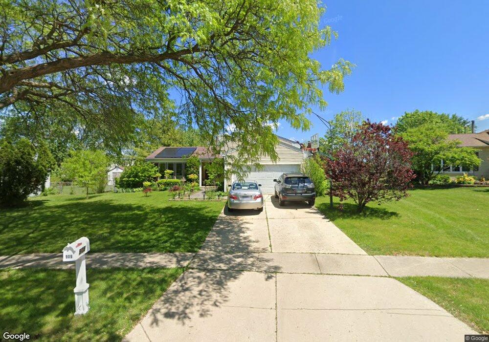
909 Brendon Dr Schaumburg, IL 60194
West Schaumburg NeighborhoodEstimated Value: $341,000 - $416,000
3
Beds
2
Baths
1,138
Sq Ft
$343/Sq Ft
Est. Value
About This Home
This home is located at 909 Brendon Dr, Schaumburg, IL 60194 and is currently estimated at $389,918, approximately $342 per square foot. 909 Brendon Dr is a home located in Cook County with nearby schools including Neil Armstrong Elementary School, Dwight D Eisenhower Junior High School, and Hoffman Estates High School.
Ownership History
Date
Name
Owned For
Owner Type
Purchase Details
Closed on
Aug 23, 2001
Sold by
Backes David J and Backes Kathleen M
Bought by
Cuartero Raymunn C and Cuartero Janet R
Current Estimated Value
Home Financials for this Owner
Home Financials are based on the most recent Mortgage that was taken out on this home.
Original Mortgage
$213,750
Outstanding Balance
$83,139
Interest Rate
7.11%
Estimated Equity
$306,779
Create a Home Valuation Report for This Property
The Home Valuation Report is an in-depth analysis detailing your home's value as well as a comparison with similar homes in the area
Home Values in the Area
Average Home Value in this Area
Purchase History
| Date | Buyer | Sale Price | Title Company |
|---|---|---|---|
| Cuartero Raymunn C | $225,000 | Chicago Title Insurance Co |
Source: Public Records
Mortgage History
| Date | Status | Borrower | Loan Amount |
|---|---|---|---|
| Open | Cuartero Raymunn C | $213,750 |
Source: Public Records
Tax History Compared to Growth
Tax History
| Year | Tax Paid | Tax Assessment Tax Assessment Total Assessment is a certain percentage of the fair market value that is determined by local assessors to be the total taxable value of land and additions on the property. | Land | Improvement |
|---|---|---|---|---|
| 2024 | $7,762 | $31,000 | $5,631 | $25,369 |
| 2023 | $7,497 | $31,000 | $5,631 | $25,369 |
| 2022 | $7,497 | $31,000 | $5,631 | $25,369 |
| 2021 | $5,678 | $21,932 | $3,988 | $17,944 |
| 2020 | $5,676 | $21,932 | $3,988 | $17,944 |
| 2019 | $5,763 | $24,643 | $3,988 | $20,655 |
| 2018 | $6,072 | $23,365 | $3,519 | $19,846 |
| 2017 | $5,977 | $23,365 | $3,519 | $19,846 |
| 2016 | $6,435 | $25,482 | $3,519 | $21,963 |
| 2015 | $6,122 | $22,800 | $3,050 | $19,750 |
| 2014 | $6,072 | $22,800 | $3,050 | $19,750 |
| 2013 | $5,903 | $22,800 | $3,050 | $19,750 |
Source: Public Records
Map
Nearby Homes
- 2216 Andover Ct
- 2312 Hyde Ct
- 2201 Brittany Ct Unit 20
- 741 N Walnut Ln
- 8 Warwick Ct
- 10 Warwick Ct
- 1929 Hastings Ct Unit 3
- 1912 Finchley Ct Unit 3
- 1924 Quaker Hollow Ln Unit 14
- 808 Bishop Ct Unit 2
- 155 Hastings Mill Rd
- 569 N Walnut Ln
- 1968 Quaker Hollow Ln Unit 12
- 508 N Walnut Ln
- 454 Willington Dr
- 208 Judy Ln
- 1103 Southbridge Ln
- 413 Linsey Ave
- 1121 Southbridge Ln
- 604 N Brookdale Dr
- 905 Brendon Dr
- 913 Brendon Dr
- 901 Brendon Dr
- 917 Brendon Dr
- 2232 Briar Hill Dr Unit 20
- 916 Brendon Dr
- 904 Brendon Dr
- 921 Brendon Dr
- 900 Brendon Dr
- 2228 Briar Hill Dr
- 828 Brendon Dr
- 2224 Briar Hill Dr
- 2237 Briar Hill Dr Unit 20
- 2233 Briar Hill Dr
- 824 Brendon Dr
- 2229 Briar Hill Dr
- 2338 John Smith Dr Unit 2338A
- 2338 John Smith Dr Unit 2338F
- 2338 John Smith Dr Unit 2338E
- 2338 John Smith Dr Unit 2338D