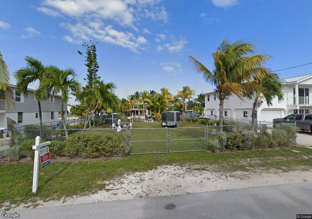
909 Caribbean Dr Summerland Key, FL 33042
Estimated Value: $394,709 - $1,629,000
--
Bed
--
Bath
--
Sq Ft
6,011
Sq Ft Lot
About This Home
This home is located at 909 Caribbean Dr, Summerland Key, FL 33042 and is currently estimated at $811,903. 909 Caribbean Dr is a home located in Monroe County with nearby schools including Sugarloaf School and Key West High School.
Ownership History
Date
Name
Owned For
Owner Type
Purchase Details
Closed on
Dec 30, 2020
Sold by
Pezzi Eduardo and Pezzi Donna
Bought by
Lopez Carlos Albert and Lopez Haydelys
Current Estimated Value
Purchase Details
Closed on
Dec 27, 2013
Sold by
Santos Roberto and Santos Nuria
Bought by
Pezzi Eduardo and Pezzi Donna
Purchase Details
Closed on
Jan 24, 2008
Sold by
Santos Roberto
Bought by
Santos Roberto and Santos Nuria
Purchase Details
Closed on
May 1, 1988
Bought by
Pezzi Eduardo and Pezzi Donna
Create a Home Valuation Report for This Property
The Home Valuation Report is an in-depth analysis detailing your home's value as well as a comparison with similar homes in the area
Home Values in the Area
Average Home Value in this Area
Purchase History
| Date | Buyer | Sale Price | Title Company |
|---|---|---|---|
| Lopez Carlos Albert | $270,000 | Pinnacle Title Group Llc | |
| Pezzi Eduardo | $120,000 | Attorney | |
| Santos Roberto | -- | Attorney | |
| Pezzi Eduardo | $60,000 | -- |
Source: Public Records
Tax History Compared to Growth
Tax History
| Year | Tax Paid | Tax Assessment Tax Assessment Total Assessment is a certain percentage of the fair market value that is determined by local assessors to be the total taxable value of land and additions on the property. | Land | Improvement |
|---|---|---|---|---|
| 2024 | $1,948 | $295,709 | $285,000 | $10,709 |
| 2023 | $1,948 | $252,486 | $241,500 | $10,986 |
| 2022 | $1,687 | $198,763 | $187,500 | $11,263 |
| 2021 | $1,960 | $214,905 | $204,000 | $10,905 |
| 2020 | $1,790 | $194,220 | $192,000 | $2,220 |
| 2019 | $1,730 | $186,812 | $184,500 | $2,312 |
| 2018 | $1,685 | $186,905 | $184,500 | $2,405 |
| 2017 | $1,472 | $155,498 | $0 | $0 |
| 2016 | $1,519 | $155,692 | $0 | $0 |
| 2015 | $1,434 | $141,913 | $0 | $0 |
| 2014 | $1,347 | $127,500 | $0 | $0 |
Source: Public Records
Map
Nearby Homes
- 554 W Shore Dr
- 466 W Shore Dr
- 937 Gulf Dr
- 948 Gulf Dr
- 876 Gulf Dr
- 835 Gulf Dr
- 680 Cruikshank Island
- 951 Lagoon Dr
- 860 Lagoon Dr
- 1082 Bay Dr
- 974 Flagship Dr
- 655 E Shore Dr
- 231 E Shore Dr Unit 7
- 231 E Shore Dr Unit 6
- 231 E Shore Dr Unit 4
- 231 E Shore Dr Unit 2
- 231 E Shore Dr Unit 5
- 231 E Shore Dr Unit 1
- 231 E Shore Dr Unit 3
- 1147 Flagship Dr
- 877 Caribbean Dr E
- 919 Caribbean Dr E
- 867 Caribbean Dr E
- 929 Caribbean Dr E
- 868 Caribbean Dr E
- 524 W Shore Dr
- 858 Caribbean Dr E
- 920 Caribbean Dr E
- 857 Caribbean Dr E
- 2705 Lt 15 East Caribbean Dr
- 939 Caribbean Dr E
- 544 W Shore Dr
- 482 W Shore Dr
- 930 Caribbean Dr E
- 27 W Shore Dr
- 847 Caribbean Dr E
- 848 Caribbean Dr E
- 2705 Lt 14 East Caribbean Dr
- 474 W Shore Dr
- 940 Caribbean Dr E