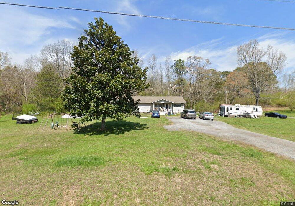
909 E Reed Rd La Fayette, GA 30728
Noble NeighborhoodEstimated Value: $274,000 - $398,000
--
Bed
2
Baths
2,376
Sq Ft
$130/Sq Ft
Est. Value
About This Home
This home is located at 909 E Reed Rd, La Fayette, GA 30728 and is currently estimated at $309,403, approximately $130 per square foot. 909 E Reed Rd is a home located in Walker County with nearby schools including Rock Spring Elementary School and Lafayette High School.
Ownership History
Date
Name
Owned For
Owner Type
Purchase Details
Closed on
Sep 14, 2010
Sold by
Armour Realty Inc
Bought by
Armour David
Current Estimated Value
Purchase Details
Closed on
Dec 15, 2009
Sold by
Armour David
Bought by
Armour Realty Inc
Purchase Details
Closed on
Dec 6, 2004
Sold by
Armour David
Bought by
Armour Rev David E Marital
Purchase Details
Closed on
Oct 5, 2004
Sold by
Noble Bill R and Noble Sharon
Bought by
Armour David
Purchase Details
Closed on
Oct 30, 1981
Sold by
Durham Sharon V
Bought by
Noble Bill R and Noble Sharon
Purchase Details
Closed on
Aug 1, 1980
Bought by
Durham Sharon V
Create a Home Valuation Report for This Property
The Home Valuation Report is an in-depth analysis detailing your home's value as well as a comparison with similar homes in the area
Home Values in the Area
Average Home Value in this Area
Purchase History
| Date | Buyer | Sale Price | Title Company |
|---|---|---|---|
| Armour David | -- | -- | |
| Armour Realty Inc | -- | -- | |
| Armour Rev David E Marital | -- | -- | |
| Armour David | -- | -- | |
| Noble Bill R | -- | -- | |
| Durham Sharon V | -- | -- |
Source: Public Records
Tax History Compared to Growth
Tax History
| Year | Tax Paid | Tax Assessment Tax Assessment Total Assessment is a certain percentage of the fair market value that is determined by local assessors to be the total taxable value of land and additions on the property. | Land | Improvement |
|---|---|---|---|---|
| 2024 | $1,805 | $72,459 | $23,837 | $48,622 |
| 2023 | $1,678 | $64,926 | $18,918 | $46,008 |
| 2022 | $1,578 | $57,698 | $18,818 | $38,880 |
| 2021 | $1,354 | $51,045 | $18,818 | $32,227 |
| 2020 | $1,462 | $45,858 | $18,818 | $27,040 |
| 2019 | $1,486 | $45,858 | $18,818 | $27,040 |
| 2018 | $1,213 | $45,858 | $18,818 | $27,040 |
| 2017 | $1,611 | $45,858 | $18,818 | $27,040 |
| 2016 | $1,446 | $63,278 | $18,818 | $44,460 |
| 2015 | $1,348 | $46,768 | $16,252 | $30,516 |
| 2014 | $1,245 | $46,768 | $16,252 | $30,516 |
| 2013 | -- | $46,767 | $16,252 | $30,515 |
Source: Public Records
Map
Nearby Homes
- 1186 E Reed Rd
- 63 Loughridge Ln
- 1585 E Reed Rd
- 4544 N Highway 27
- 4582 Highway N 27
- 4654 Us Highway 27
- 521 Wheeler Rd
- 0 Veeler Rd Unit 1522679
- 0 Veeler Rd Unit 10628696
- 516 W Reed Rd
- Lot 3 Cedar Farm Rd
- 663 Diamond Cir
- 0 Clyde Byrd Rd
- 906 Diamond Cir
- 894 896 Wheeler Unit 1 & 2
- 894 896 Wheeler
- 0 E Warren Rd Unit RTC2681365
- 0 E Warren Rd Unit 1395828
- Hanover Plan at Price's Crossing
- Cali Plan at Price's Crossing