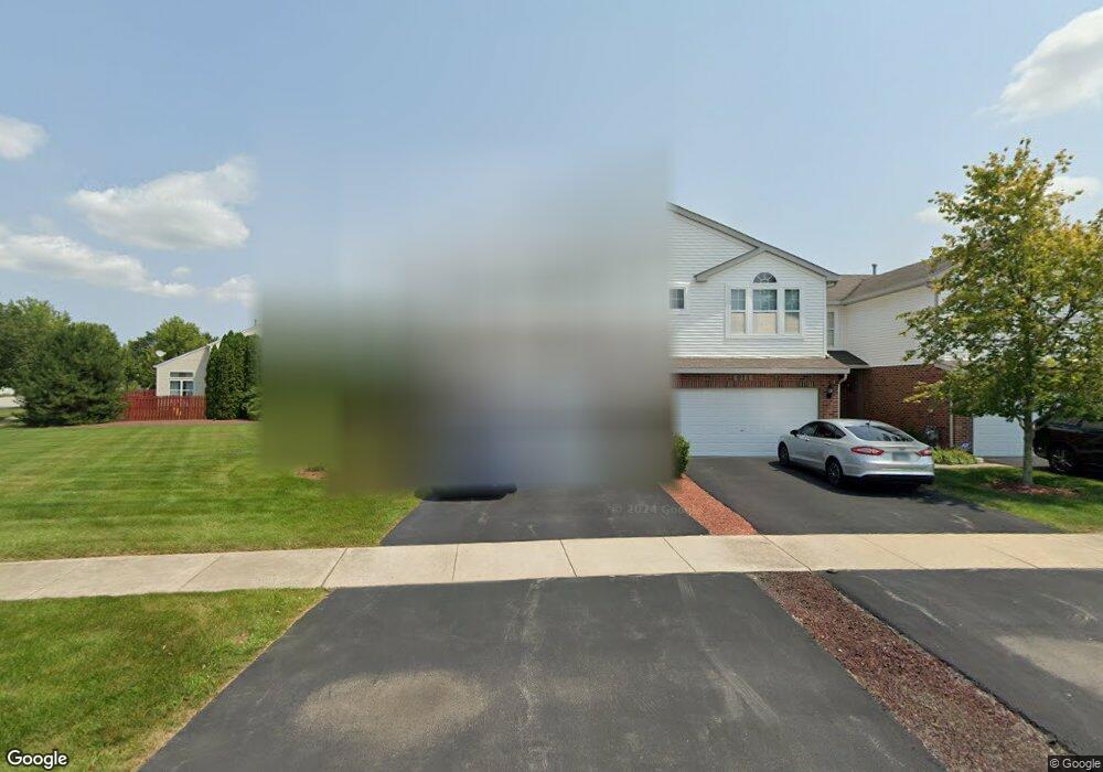
909 Fieldside Dr Unit 1221 Matteson, IL 60443
West Matteson NeighborhoodEstimated Value: $283,781 - $312,000
3
Beds
3
Baths
1,600
Sq Ft
$186/Sq Ft
Est. Value
About This Home
This home is located at 909 Fieldside Dr Unit 1221, Matteson, IL 60443 and is currently estimated at $297,945, approximately $186 per square foot. 909 Fieldside Dr Unit 1221 is a home located in Cook County with nearby schools including Colin Powell Middle School.
Ownership History
Date
Name
Owned For
Owner Type
Purchase Details
Closed on
Jun 19, 2006
Sold by
Sanders Glenn P and Sanders Aretha D
Bought by
Great Lakes Trust Co Na and Trust #06009
Current Estimated Value
Purchase Details
Closed on
Jul 22, 2005
Sold by
Montalbano Builders Inc
Bought by
Sanders Glenn P and Sanders Aretha D
Home Financials for this Owner
Home Financials are based on the most recent Mortgage that was taken out on this home.
Original Mortgage
$150,066
Interest Rate
7.12%
Mortgage Type
Fannie Mae Freddie Mac
Create a Home Valuation Report for This Property
The Home Valuation Report is an in-depth analysis detailing your home's value as well as a comparison with similar homes in the area
Home Values in the Area
Average Home Value in this Area
Purchase History
| Date | Buyer | Sale Price | Title Company |
|---|---|---|---|
| Great Lakes Trust Co Na | -- | None Available | |
| Sanders Glenn P | $200,500 | Cti |
Source: Public Records
Mortgage History
| Date | Status | Borrower | Loan Amount |
|---|---|---|---|
| Previous Owner | Sanders Glenn P | $150,066 |
Source: Public Records
Tax History Compared to Growth
Tax History
| Year | Tax Paid | Tax Assessment Tax Assessment Total Assessment is a certain percentage of the fair market value that is determined by local assessors to be the total taxable value of land and additions on the property. | Land | Improvement |
|---|---|---|---|---|
| 2024 | $7,898 | $22,369 | $849 | $21,520 |
| 2023 | $4,462 | $22,369 | $849 | $21,520 |
| 2022 | $4,462 | $11,754 | $656 | $11,098 |
| 2021 | $4,552 | $11,754 | $656 | $11,098 |
| 2020 | $4,518 | $11,754 | $656 | $11,098 |
| 2019 | $3,564 | $9,953 | $617 | $9,336 |
| 2018 | $4,154 | $11,150 | $617 | $10,533 |
| 2017 | $4,070 | $11,150 | $617 | $10,533 |
| 2016 | $5,931 | $13,958 | $578 | $13,380 |
| 2015 | $5,760 | $13,958 | $578 | $13,380 |
| 2014 | $5,630 | $13,958 | $578 | $13,380 |
| 2013 | $3,739 | $10,758 | $578 | $10,180 |
Source: Public Records
Map
Nearby Homes
- 906 Eagle Point Dr
- 921 Fieldside Dr Unit 1231
- 1008 Willow Rd
- 6200 Marsh Ln
- 1000 Warwick Dr
- 6423 Gray Hawk Dr Unit 2716
- 6260 Sunflower Dr
- 21222 Whitney Ave
- 6520 Bridle Path Dr
- 733 Old Meadow Rd
- 6500 Pasture Side Trail
- 21206 Sophia Dr
- 6409 Old Plank Blvd
- 6037 Spring Ln
- 6021 Spring Ln
- 6230 Streamwood Ln
- 6608 Pasture Side Trail
- 1030 Regent Dr
- 6201 Old Plank Blvd
- 970 Regent Dr
- 911 Fieldside Dr Unit 1222
- 913 Fieldside Dr Unit 1223
- 915 Fieldside Dr Unit 1224
- 917 Fieldside Dr Unit 1225
- 919 Fieldside Dr Unit 1226
- 910 Eagle Point Dr
- 902 Eagle Point Dr
- 6306 Pond View Dr Unit 1164
- 6310 Pond View Dr Unit 1162
- 914 Eagle Point Dr
- 6319 Pond View Dr Unit 1201
- 6319 Pond View Dr Unit 1
- 923 Fieldside Dr Unit 1232
- 923 Fieldside Dr Unit 1222
- 6304 Pond View Dr Unit 1165
- 6308 Pond View Dr Unit 1163
- 6302 Pond View Dr Unit 1166
- 6321 Pond View Dr Unit 1202
- 6312 Pond View Dr Unit 1161
- 1005 Fieldside Dr Unit 1236