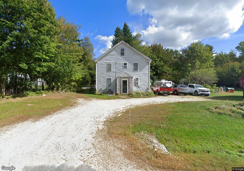
909 Lewiston Rd New Gloucester, ME 04260
Estimated Value: $244,000 - $304,000
4
Beds
2
Baths
870
Sq Ft
$321/Sq Ft
Est. Value
About This Home
This home is located at 909 Lewiston Rd, New Gloucester, ME 04260 and is currently estimated at $279,589, approximately $321 per square foot. 909 Lewiston Rd is a home located in Cumberland County with nearby schools including Gray-New Gloucester High School.
Ownership History
Date
Name
Owned For
Owner Type
Purchase Details
Closed on
Dec 11, 2007
Sold by
Plapis John T
Bought by
Plapis Travis T
Current Estimated Value
Home Financials for this Owner
Home Financials are based on the most recent Mortgage that was taken out on this home.
Original Mortgage
$115,200
Outstanding Balance
$72,519
Interest Rate
6.37%
Mortgage Type
Purchase Money Mortgage
Estimated Equity
$207,070
Create a Home Valuation Report for This Property
The Home Valuation Report is an in-depth analysis detailing your home's value as well as a comparison with similar homes in the area
Home Values in the Area
Average Home Value in this Area
Purchase History
| Date | Buyer | Sale Price | Title Company |
|---|---|---|---|
| Plapis Travis T | -- | -- |
Source: Public Records
Mortgage History
| Date | Status | Borrower | Loan Amount |
|---|---|---|---|
| Open | Plapis Travis T | $115,200 |
Source: Public Records
Tax History Compared to Growth
Tax History
| Year | Tax Paid | Tax Assessment Tax Assessment Total Assessment is a certain percentage of the fair market value that is determined by local assessors to be the total taxable value of land and additions on the property. | Land | Improvement |
|---|---|---|---|---|
| 2025 | $2,245 | $145,114 | $53,840 | $91,274 |
| 2024 | $2,161 | $145,114 | $53,840 | $91,274 |
| 2023 | $2,074 | $145,114 | $53,840 | $91,274 |
| 2022 | $2,003 | $145,114 | $53,840 | $91,274 |
| 2021 | $2,003 | $145,114 | $53,840 | $91,274 |
| 2020 | $1,981 | $145,114 | $53,840 | $91,274 |
| 2019 | $2,212 | $130,900 | $55,000 | $75,900 |
| 2018 | $1,752 | $130,900 | $55,000 | $75,900 |
| 2017 | $16,026 | $130,900 | $55,000 | $75,900 |
| 2016 | $1,924 | $130,900 | $55,000 | $75,900 |
| 2015 | $1,918 | $130,900 | $55,000 | $75,900 |
| 2014 | $1,898 | $130,900 | $55,000 | $75,900 |
| 2013 | $1,761 | $130,900 | $55,000 | $75,900 |
Source: Public Records
Map
Nearby Homes
- 164 Intervale Rd
- 12 Country Charm Ln
- 10 Cobbs Bridge Rd
- 10-56 C&E Bowdoin Way
- 24 Swamp Rd
- 160 Gloucester Hill Rd
- 22 Shaw Rd
- 271 Bennett Rd
- 155 & 151 Gloucester Hill Rd
- 0018-C Gloucester Hill Rd
- 200 Woodman Rd
- 161 Beaver Dam Dr
- TBD Targett Rd
- 29 Rockwood Dr
- 14 Golden Way
- 10 Spring Valley Ln
- 423 Sabbathday Rd
- 832 Old Danville Rd
- 26 Carpenter Rd
- 65 Blueberry Ln
- 911 Lewiston Rd
- 915 Lewiston Rd
- 920 Lewiston Rd
- 893 Lewiston Rd
- 896 Lewiston Rd
- 921 Lewiston Rd
- 760 Lewiston Rd
- 887 Lewiston Rd
- 882 Lewiston Rd
- 59 Intervale Rd
- 823 Lewiston Rd
- 00 Boundary Way
- Lot 5 Boundary Way
- 01 Boundary Way
- 69 Intervale Rd
- 938 Lewiston Rd
- 51 Intervale Rd
- 1, 1D, 1E Boundary Way
- 876 Lewiston Rd
- 77 Intervale Rd