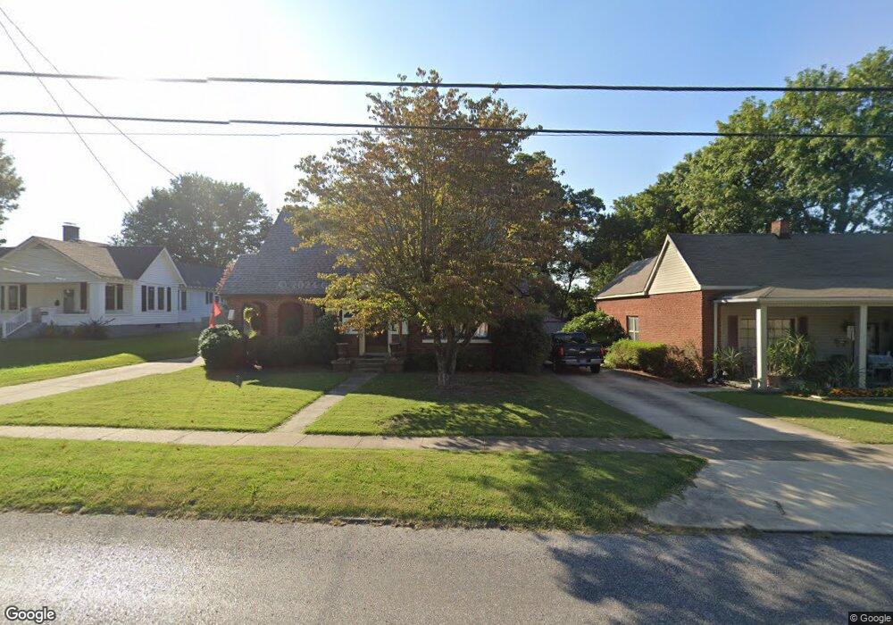
909 N Sampson Ave Dyersburg, TN 38024
Estimated Value: $193,596 - $231,000
3
Beds
2
Baths
3,668
Sq Ft
$60/Sq Ft
Est. Value
About This Home
This home is located at 909 N Sampson Ave, Dyersburg, TN 38024 and is currently estimated at $219,149, approximately $59 per square foot. 909 N Sampson Ave is a home located in Dyer County with nearby schools including Dyersburg Primary School, Trimble Elementary School, and Dyersburg Intermediate School.
Ownership History
Date
Name
Owned For
Owner Type
Purchase Details
Closed on
Dec 17, 2024
Sold by
Barker Roy
Bought by
Barker David A
Current Estimated Value
Purchase Details
Closed on
Jul 24, 2012
Sold by
Gatlin Deborah W
Bought by
Barker Roy
Purchase Details
Closed on
Jun 7, 1993
Bought by
Gatlin Deborah W
Purchase Details
Closed on
Jun 17, 1985
Bought by
Moody Moody W and Moody Dorothy C
Create a Home Valuation Report for This Property
The Home Valuation Report is an in-depth analysis detailing your home's value as well as a comparison with similar homes in the area
Home Values in the Area
Average Home Value in this Area
Purchase History
| Date | Buyer | Sale Price | Title Company |
|---|---|---|---|
| Barker David A | -- | None Listed On Document | |
| Barker David A | -- | None Listed On Document | |
| Barker David A | -- | None Listed On Document | |
| Barker Roy | $135,000 | -- | |
| Gatlin Deborah W | $115,000 | -- | |
| Moody Moody W | $69,500 | -- |
Source: Public Records
Mortgage History
| Date | Status | Borrower | Loan Amount |
|---|---|---|---|
| Previous Owner | Moody Moody W | $25,000 |
Source: Public Records
Tax History Compared to Growth
Tax History
| Year | Tax Paid | Tax Assessment Tax Assessment Total Assessment is a certain percentage of the fair market value that is determined by local assessors to be the total taxable value of land and additions on the property. | Land | Improvement |
|---|---|---|---|---|
| 2024 | $910 | $37,000 | $4,500 | $32,500 |
| 2023 | $1,805 | $37,000 | $4,500 | $32,500 |
| 2022 | $1,728 | $36,075 | $4,500 | $31,575 |
| 2021 | $1,728 | $36,075 | $4,500 | $31,575 |
| 2020 | $1,710 | $36,075 | $4,500 | $31,575 |
| 2019 | $1,661 | $31,975 | $4,500 | $27,475 |
| 2018 | $1,604 | $31,975 | $4,500 | $27,475 |
| 2017 | $1,604 | $31,975 | $4,500 | $27,475 |
| 2016 | $1,333 | $26,575 | $4,500 | $22,075 |
| 2015 | $1,294 | $26,575 | $4,500 | $22,075 |
| 2014 | $1,258 | $26,575 | $4,500 | $22,075 |
Source: Public Records
Map
Nearby Homes
- 809 N Sampson Ave
- 1300 Todd Ave
- 446 Bishop St
- 1211 Speedway Ave
- 1020 Troy Ave
- 1217 Speedway Ave
- 1324 Todd Ave
- 1212 Woodlawn Ave
- 933 Troy Ave
- 1401 Todd Ave
- 1216 Woodlawn Ave
- 512 Phillips St
- Lot 2 Dakota Loop
- Lot 1 Dakota Loop
- 1305 Troy Ave
- 603 Phillips St
- 605 E Parkview St
- 419 N Sampson Ave
- 00 S Lattawoods Dr
- 232 Watkins St
- 911 N Sampson Ave
- 903 N Sampson Ave
- 431 Light St
- 426 White Oak Cir
- 425 Light St
- 904 N Sampson Ave
- 432 Light St
- 843 N Sampson Ave
- 910 N Sampson Ave
- 1005 N Sampson Ave
- 916 N Sampson Ave
- 421 Light St
- 428 Light St
- 420 White Oak Cir
- 844 N Sampson Ave
- 1006 N Sampson Ave
- 839 N Sampson Ave
- 840 N Sampson Ave
- 425 White Oak Cir
- 1013 N Sampson Ave