909 S Cove Cir Unit 22 Whitehall, MI 49461
Estimated Value: $467,000 - $556,000
--
Bed
2
Baths
1,658
Sq Ft
$301/Sq Ft
Est. Value
About This Home
This home is located at 909 S Cove Cir Unit 22, Whitehall, MI 49461 and is currently estimated at $499,796, approximately $301 per square foot. 909 S Cove Cir Unit 22 is a home located in Muskegon County with nearby schools including Shoreline Elementary School, Ealy Elementary School, and Whitehall Middle School.
Ownership History
Date
Name
Owned For
Owner Type
Purchase Details
Closed on
Oct 10, 2024
Sold by
Southshore Development Corporation
Bought by
Dekuiper Lewis and Dekuiper Judy
Current Estimated Value
Create a Home Valuation Report for This Property
The Home Valuation Report is an in-depth analysis detailing your home's value as well as a comparison with similar homes in the area
Home Values in the Area
Average Home Value in this Area
Purchase History
| Date | Buyer | Sale Price | Title Company |
|---|---|---|---|
| Dekuiper Lewis | $430,000 | Transnation Title |
Source: Public Records
Tax History Compared to Growth
Tax History
| Year | Tax Paid | Tax Assessment Tax Assessment Total Assessment is a certain percentage of the fair market value that is determined by local assessors to be the total taxable value of land and additions on the property. | Land | Improvement |
|---|---|---|---|---|
| 2025 | $7,137 | $220,000 | $0 | $0 |
| 2024 | $4,466 | $174,200 | $0 | $0 |
| 2023 | $4,235 | $164,100 | $0 | $0 |
| 2022 | $182 | $25,000 | $0 | $0 |
Source: Public Records
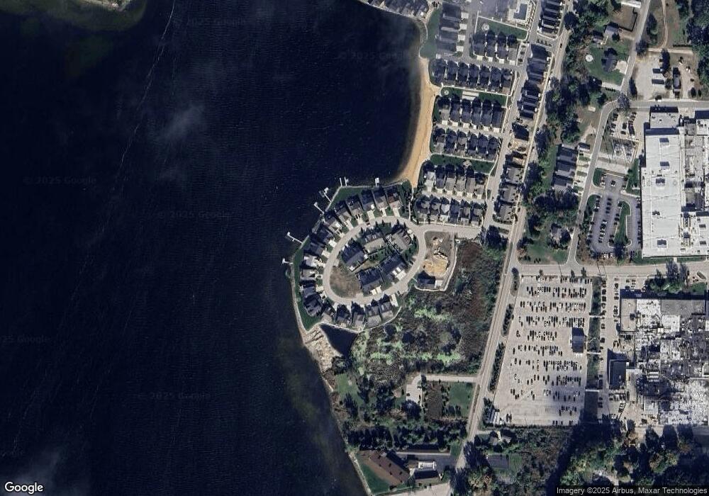
Map
Nearby Homes
- 1221 S Timberview Dr Unit 10
- 0 Whitehall Rd
- 1153 Spruce Pointe Dr
- VL Whitehall Rd
- VL Whitehall Rd Unit WEST
- 1129 Wilshire Dr
- 411 Peach St
- 1316 Waters Edge Ct
- 616 E Slocum St
- 205 S Franklin St
- 913 E Lewis St
- 311 E Colby St
- 911 S Division St
- 524 S Mears Ave
- 7580 Whitehall Rd
- 7563 Whitehall Rd
- 1442 Burnside Rd
- Lot 2 Angelwood Dr
- The Birkshire II Plan at Tannery Bay
- The Crestview Plan at Tannery Bay
- 909 S Cove Cir
- 911 S Cove Cir
- 1005 S Cove Cir
- 909 S Cove Cir
- 0 Holton Whitehall Rd Unit 71024031013
- 0 Holton Whitehall Rd Unit 10 acres 24031013
- VL Holton Whitehall Rd
- VL Holton Whitehall Rd Unit 10.10 Acres
- 0 Holton Whitehall Rd Unit 71018030801
- 0 Holton Whitehall Rd Unit M13030009
- 0 Holton Whitehall Rd Unit M13030049
- 0 Holton Whitehall Rd Unit M14027485
- 0 Holton Whitehall Rd Unit M17022882
- 0 Holton Whitehall Rd Unit M18030801
- 0 Holton Whitehall Rd Unit M19056416
- 0 Holton Whitehall Rd Unit 71013030009
- 0 Holton Whitehall Rd Unit 71013030049
- 0 Holton Whitehall Rd Unit 71014027485
- 0 Holton Whitehall Rd Unit APP 1 3363679
- 1 Holton Whitehall Rd