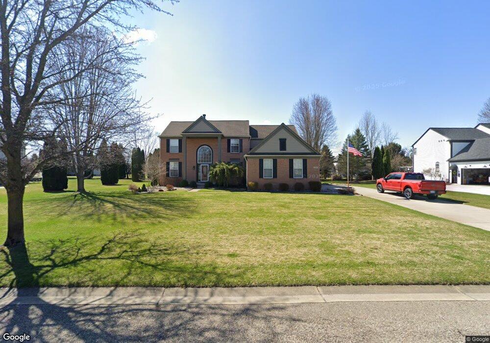
9090 Amaranth Way Unit Bldg-Unit Brighton, MI 48116
Estimated Value: $554,124 - $642,000
4
Beds
4
Baths
2,812
Sq Ft
$218/Sq Ft
Est. Value
About This Home
This home is located at 9090 Amaranth Way Unit Bldg-Unit, Brighton, MI 48116 and is currently estimated at $613,781, approximately $218 per square foot. 9090 Amaranth Way Unit Bldg-Unit is a home located in Livingston County with nearby schools including Hawkins Elementary School, Scranton Middle School, and Brighton High School.
Ownership History
Date
Name
Owned For
Owner Type
Purchase Details
Closed on
Jan 18, 2018
Sold by
Tracey Bruce David and Tracey Bruce
Bought by
Thorburg Dennis M and Thornburg Michelle
Current Estimated Value
Home Financials for this Owner
Home Financials are based on the most recent Mortgage that was taken out on this home.
Original Mortgage
$398,282
Outstanding Balance
$336,103
Interest Rate
3.94%
Mortgage Type
VA
Estimated Equity
$277,678
Purchase Details
Closed on
Oct 31, 2000
Sold by
Pulte Land Company Llc
Bought by
Bruce David and Bruce Tracey
Create a Home Valuation Report for This Property
The Home Valuation Report is an in-depth analysis detailing your home's value as well as a comparison with similar homes in the area
Home Values in the Area
Average Home Value in this Area
Purchase History
| Date | Buyer | Sale Price | Title Company |
|---|---|---|---|
| Thorburg Dennis M | $389,900 | -- | |
| Bruce David | $72,000 | Metropolitan Title Company |
Source: Public Records
Mortgage History
| Date | Status | Borrower | Loan Amount |
|---|---|---|---|
| Open | Thorburg Dennis M | $398,282 |
Source: Public Records
Tax History Compared to Growth
Tax History
| Year | Tax Paid | Tax Assessment Tax Assessment Total Assessment is a certain percentage of the fair market value that is determined by local assessors to be the total taxable value of land and additions on the property. | Land | Improvement |
|---|---|---|---|---|
| 2025 | $6,225 | $247,500 | $0 | $0 |
| 2024 | $2,685 | $230,500 | $0 | $0 |
| 2023 | $2,567 | $231,300 | $0 | $0 |
| 2022 | $5,242 | $182,700 | $0 | $0 |
| 2021 | $5,242 | $201,200 | $0 | $0 |
| 2020 | $5,199 | $199,900 | $0 | $0 |
| 2019 | $5,108 | $182,700 | $0 | $0 |
| 2018 | $4,051 | $177,300 | $0 | $0 |
| 2017 | $3,804 | $178,200 | $0 | $0 |
| 2016 | $3,804 | $165,100 | $0 | $0 |
| 2014 | $3,106 | $143,900 | $0 | $0 |
| 2012 | $3,106 | $125,900 | $0 | $0 |
Source: Public Records
Map
Nearby Homes
- 9339 Summercress Dr
- 6891 Somerset Dr
- 00 Cheddar Valley
- Lot 12 Wyndam Ln
- 9353 Old Lee Rd
- 6394 Stephen
- 8499 Bishop Rd
- 0000 Dibrova Dr
- 8900 Rickett Rd
- 9797 Rolling Pines Dr
- 326 Redmaple Ln Unit 365
- 0 Riverside Dr Unit 20250022218
- 840 Heatheridge Ct Unit 16
- 7837 Partridge Hill Dr
- 1242 Baywood Cir
- 392 Woodfield Square Ln
- 7854 Open Meadows Dr
- 8570 Riverside Dr
- 390 Spring Brooke Dr Unit 390
- 396 Spring Brooke Dr Unit 49
- 9090 Amaranth Way
- 9112 Amaranth Way
- 9068 Amaranth Way
- 9083 Periwinkle Way
- 9109 Periwinkle Way
- 7519 Wisteria Way
- 7446 Quince Ct
- 7459 Wisteria Way
- 0 Amaranth Way
- 9134 Amaranth Way
- 9127 Periwinkle Way
- 9145 Periwinkle Way
- 7428 Quince Ct
- 7492 Wisteria Way
- 7441 Wisteria Way
- 7474 Wisteria Way
- 7447 Quince Ct
- 7510 Wisteria Way
- 9156 Amaranth Way
- 7552 Jonquil Ct