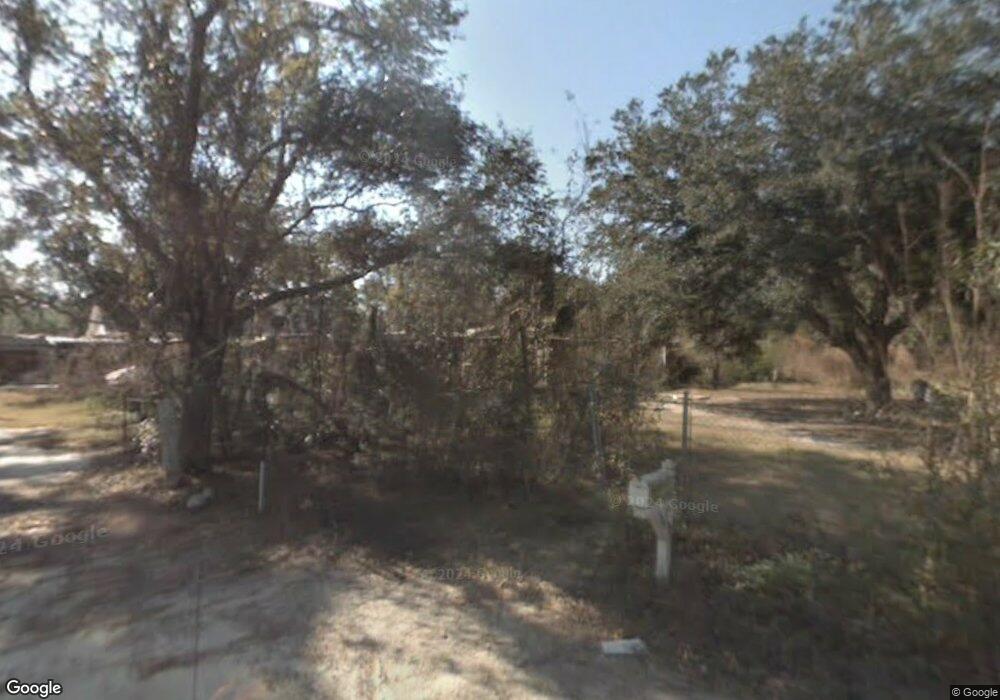
9091 S Lark St Bay St. Louis, MS 39520
Estimated Value: $248,000 - $315,000
4
Beds
3
Baths
2,491
Sq Ft
$113/Sq Ft
Est. Value
About This Home
This home is located at 9091 S Lark St, Bay St. Louis, MS 39520 and is currently estimated at $281,526, approximately $113 per square foot. 9091 S Lark St is a home located in Hancock County with nearby schools including Picayune Junior High School, Picayune Memorial High School, and Central Christian Academy.
Ownership History
Date
Name
Owned For
Owner Type
Purchase Details
Closed on
Mar 22, 2024
Sold by
Romine Johnny W and Romine Cathy
Bought by
Canty Kenneth
Current Estimated Value
Home Financials for this Owner
Home Financials are based on the most recent Mortgage that was taken out on this home.
Original Mortgage
$439,000
Outstanding Balance
$426,615
Interest Rate
4%
Mortgage Type
VA
Estimated Equity
-$145,089
Create a Home Valuation Report for This Property
The Home Valuation Report is an in-depth analysis detailing your home's value as well as a comparison with similar homes in the area
Home Values in the Area
Average Home Value in this Area
Purchase History
| Date | Buyer | Sale Price | Title Company |
|---|---|---|---|
| Canty Kenneth | -- | None Listed On Document |
Source: Public Records
Mortgage History
| Date | Status | Borrower | Loan Amount |
|---|---|---|---|
| Open | Canty Kenneth | $439,000 |
Source: Public Records
Tax History Compared to Growth
Tax History
| Year | Tax Paid | Tax Assessment Tax Assessment Total Assessment is a certain percentage of the fair market value that is determined by local assessors to be the total taxable value of land and additions on the property. | Land | Improvement |
|---|---|---|---|---|
| 2024 | $1,682 | $17,659 | $2,009 | $15,650 |
| 2023 | $1,603 | $16,833 | $2,023 | $14,810 |
| 2022 | $893 | $16,879 | $2,069 | $14,810 |
| 2021 | $895 | $16,896 | $2,086 | $14,810 |
| 2020 | $2,115 | $21,412 | $1,050 | $20,362 |
| 2019 | $0 | $14,275 | $700 | $13,575 |
| 2018 | $0 | $14,275 | $700 | $13,575 |
| 2017 | $1,867 | $14,275 | $700 | $13,575 |
| 2016 | $1,867 | $21,412 | $1,050 | $20,362 |
| 2015 | $1,867 | $20,432 | $1,050 | $19,382 |
| 2014 | $548 | $13,622 | $700 | $12,922 |
| 2013 | $528 | $13,622 | $700 | $12,922 |
Source: Public Records
Map
Nearby Homes
- 5332 Highway 90
- 9035 Pine Dr
- 9074 Dove St
- 0 Robin St
- 0 Crane St
- 0 Robin St Unit 4043929
- 5151 Highway 90
- 81 & 82 Dove St
- 0 Hattiesburg Unit 4111720
- 6075 E Adams St
- 0 E Clay St
- 0 Lark St
- Lots 19&20 E Adams St
- 8005 Spruce St
- 6118 E Benton St
- Lot 11 Harbor Dr
- 6090 Copiah St
- 0 Fig Dr Unit 4130504
- 0 Fig Dr Unit 4118383
- 0 Fig Dr Unit 4118381
- 9091 Lark St
- 00 Lark St
- 0 S Lark St
- 5296 Highway 90
- 5274 Highway 90
- 5308 Highway 90
- 5332 U S 90
- 5300 Highway 90
- 5101 Spiers Dr
- 5356 Highway 90
- 9002 Robin St
- 5384 Highway 90
- 5284 Highway 90
- 9220 Henry Shubert Rd
- 5410 Highway 90
- 5078 Spiers Dr
- 9022 Robin St
- 9200 Henry Shubert Rd
- 5083 Spiers Dr
- Lot 13 Cardinal
