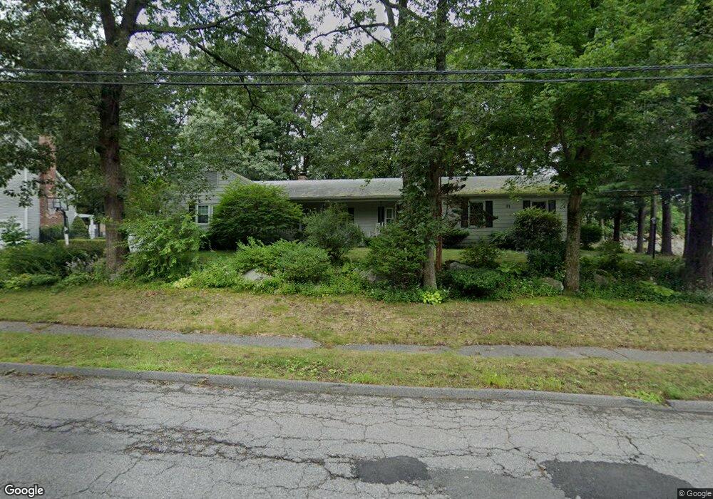
91 Barry Rd Worcester, MA 01609
Forest Grove NeighborhoodEstimated Value: $538,430 - $630,000
3
Beds
3
Baths
1,800
Sq Ft
$320/Sq Ft
Est. Value
About This Home
This home is located at 91 Barry Rd, Worcester, MA 01609 and is currently estimated at $576,858, approximately $320 per square foot. 91 Barry Rd is a home located in Worcester County with nearby schools including Nelson Place Elementary School, Chandler Magnet, and Jacob Hiatt Magnet School.
Ownership History
Date
Name
Owned For
Owner Type
Purchase Details
Closed on
Nov 7, 2016
Sold by
Theodora Grossman Nt
Bought by
Pockels Gilfredo and Pockels Nelcida
Current Estimated Value
Purchase Details
Closed on
Dec 13, 2010
Sold by
Mason Ina
Bought by
Surabian Albert M and Hill Maris A
Home Financials for this Owner
Home Financials are based on the most recent Mortgage that was taken out on this home.
Original Mortgage
$236,352
Interest Rate
4.25%
Mortgage Type
FHA
Create a Home Valuation Report for This Property
The Home Valuation Report is an in-depth analysis detailing your home's value as well as a comparison with similar homes in the area
Home Values in the Area
Average Home Value in this Area
Purchase History
| Date | Buyer | Sale Price | Title Company |
|---|---|---|---|
| Pockels Gilfredo | $275,000 | -- | |
| Surabian Albert M | $242,500 | -- |
Source: Public Records
Mortgage History
| Date | Status | Borrower | Loan Amount |
|---|---|---|---|
| Previous Owner | Surabian Albert M | $236,352 |
Source: Public Records
Tax History
| Year | Tax Paid | Tax Assessment Tax Assessment Total Assessment is a certain percentage of the fair market value that is determined by local assessors to be the total taxable value of land and additions on the property. | Land | Improvement |
|---|---|---|---|---|
| 2025 | $5,958 | $451,700 | $123,700 | $328,000 |
| 2024 | $5,815 | $422,900 | $123,700 | $299,200 |
| 2023 | $5,634 | $392,900 | $106,500 | $286,400 |
| 2022 | $5,019 | $330,000 | $85,200 | $244,800 |
| 2021 | $5,130 | $315,100 | $68,200 | $246,900 |
| 2020 | $4,903 | $288,400 | $68,000 | $220,400 |
| 2019 | $4,860 | $270,000 | $65,600 | $204,400 |
| 2018 | $4,705 | $248,800 | $65,600 | $183,200 |
| 2017 | $4,780 | $248,700 | $65,600 | $183,100 |
| 2016 | $4,866 | $236,100 | $54,100 | $182,000 |
| 2015 | $4,739 | $236,100 | $54,100 | $182,000 |
| 2014 | $4,570 | $233,900 | $54,100 | $179,800 |
Source: Public Records
Map
Nearby Homes
- 61 Barry Rd
- 46 Barry Rd
- 84 Chester St
- 28 Lynnwood Ln
- 97 Parkton Ave
- 90 Bjorklund Ave
- 770 Salisbury St Unit 517
- 770 Salisbury St Unit 333
- 158 Chester St
- 4004 Brompton Cir
- 25 Chester St
- 3 Old English Rd
- 23 Leslie Rd
- 82 Holden St
- 10 Salisbury Hill Blvd Unit 75
- 16 Baiting Brook Ln Unit 64
- 14 Baiting Brook Ln Unit 65
- 10 Baiting Brook Ln Unit 67
- 5 Chartwell Ln Unit 87
- 14 Balder Rd
- 97 Barry Rd
- 85 Barry Rd
- 90 Barry Rd
- 84 Barry Rd
- 92 Barry Rd
- 79 Barry Rd
- 100 Barry Rd
- 0 Myrick Ave Unit 72274480
- 0 Myrick Ave
- 0 Myrick Ave Unit 73106228
- 0 Myrick Ave Unit 72707319
- 0 Myrick Ave Unit 72587644
- 80 Barry Rd
- 2 Myrick Ave
- 104 Barry Rd
- 104 Barry Road Extention
- 4 Myrick Ave
- 94 Lynnwood Ln
- 75 Barry Rd
- 82 Toronita Ave
Your Personal Tour Guide
Ask me questions while you tour the home.