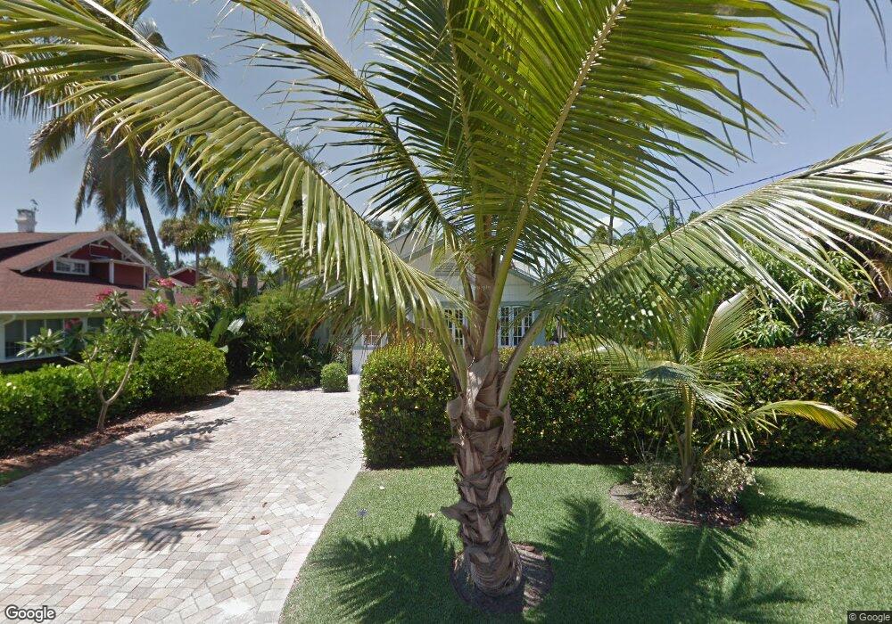
91 Broad Ave S Naples, FL 34102
Old Naples NeighborhoodEstimated Value: $3,830,320 - $5,238,000
Studio
--
Bath
2,681
Sq Ft
$1,680/Sq Ft
Est. Value
About This Home
This home is located at 91 Broad Ave S, Naples, FL 34102 and is currently estimated at $4,502,773, approximately $1,679 per square foot. 91 Broad Ave S is a home located in Collier County with nearby schools including Lake Park Elementary School, Naples High School, and Gulfview Middle School.
Ownership History
Date
Name
Owned For
Owner Type
Purchase Details
Closed on
Feb 23, 2016
Sold by
Gutchess Michael and Rossi Guthchess Daria Angela
Bought by
Gutchess Michael Otto and Rossi Gutchess Daria Angela
Current Estimated Value
Purchase Details
Closed on
Jan 7, 2009
Sold by
Gutchess Michael and Gutchess Daria
Bought by
Gutchess Michael
Purchase Details
Closed on
Nov 2, 2006
Sold by
Gutchess Emily O and Gutchess Neil B
Bought by
Gutchess Emily O and The Emily O Gutchess Revocable Trust
Purchase Details
Closed on
Aug 3, 2001
Sold by
Favinger Jane Wynn
Bought by
Gutchess Emily O
Create a Home Valuation Report for This Property
The Home Valuation Report is an in-depth analysis detailing your home's value as well as a comparison with similar homes in the area
Home Values in the Area
Average Home Value in this Area
Purchase History
| Date | Buyer | Sale Price | Title Company |
|---|---|---|---|
| Gutchess Michael Otto | -- | Attorney | |
| Gutchess Michael | -- | None Available | |
| Gutchess Emily O | -- | None Available | |
| Gutchess Emily O | $425,000 | -- |
Source: Public Records
Tax History
| Year | Tax Paid | Tax Assessment Tax Assessment Total Assessment is a certain percentage of the fair market value that is determined by local assessors to be the total taxable value of land and additions on the property. | Land | Improvement |
|---|---|---|---|---|
| 2025 | $10,741 | $1,251,742 | -- | -- |
| 2024 | $10,574 | $1,216,465 | -- | -- |
| 2023 | $10,574 | $1,181,034 | $0 | $0 |
| 2022 | $10,865 | $1,146,635 | $0 | $0 |
| 2021 | $11,033 | $1,113,238 | $0 | $0 |
| 2020 | $10,763 | $1,097,868 | $0 | $0 |
| 2019 | $10,628 | $1,073,185 | $0 | $0 |
| 2018 | $10,403 | $1,053,175 | $0 | $0 |
| 2017 | $10,241 | $1,031,513 | $0 | $0 |
| 2016 | $10,066 | $1,010,297 | $0 | $0 |
| 2015 | $10,277 | $1,003,274 | $0 | $0 |
| 2014 | $10,314 | $945,312 | $0 | $0 |
Source: Public Records
Map
Nearby Homes
- 61 12th Ave S
- 1230 Gulf Shore Blvd S
- 1222 Gordon Dr Unit 15
- 1222 Gordon Dr Unit 2
- 0 10th Ave SE Unit 225020170
- 0 10th Ave SE Unit 226003192
- 0 12th Ave SE Unit 225058861
- 0 12th Ave SE Unit 225063978
- 0 12th Ave SE Unit MFRO6321667
- 1100 3rd St S Unit 202
- 163 10th Ave S
- 1295 Gulf Shore Blvd S Unit 136
- 1295 Gulf Shore Blvd S Unit 128
- 1295 Gulf Shore Blvd S Unit 134
- 187 10th Ave S
- 55 13th Ave S
- 263 10th Ave S
- 273 10th Ave S
- 1021 3rd St S Unit 310
- 1021 3rd St S Unit 110
- 75 Broad Ave S
- 107 Broad Ave S
- 53 Broad Ave S
- 131 Broad Ave S
- 102 Broad Ave S Unit A-310
- 1144 Gulf Shore Blvd S
- 88 Broad Ave S
- 43 Broad Ave S
- 112 Broad Ave S
- 78 Broad Ave S
- 110 Broad Ave S Unit Cottage
- 110 Broad Ave S
- XXXX 11th Ave S
- 130 11th Ave S
- 44 11th Ave S
- 151 Broad Ave S Unit REAR
- 151 Broad Ave S
- 140 Broad Ave S
- 50 Broad Ave S
- 12 11th Ave S
Your Personal Tour Guide
Ask me questions while you tour the home.