Estimated Value: $441,000 - $462,000
3
Beds
2
Baths
1,475
Sq Ft
$306/Sq Ft
Est. Value
About This Home
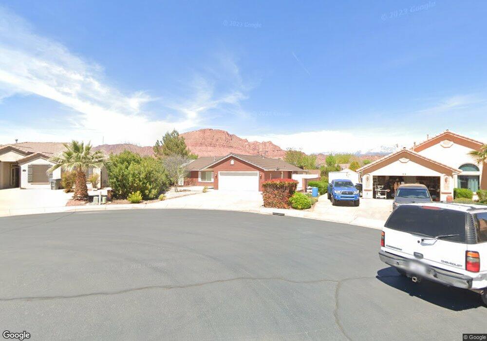
This home is located at 91 E 675 S, Ivins, UT 84738 and is currently estimated at $451,662, approximately $306 per square foot. 91 E 675 S is a home located in Washington County with nearby schools including Red Mountain School, Snow Canyon Middle School, and Lava Ridge Intermediate School.
Ownership History
Date
Name
Owned For
Owner Type
Purchase Details
Closed on
Apr 11, 2024
Sold by
Clay Bob and Clay Rebecca C
Bought by
Clay Rebecca C and Clay Robert
Current Estimated Value
Home Financials for this Owner
Home Financials are based on the most recent Mortgage that was taken out on this home.
Original Mortgage
$150,000
Outstanding Balance
$112,627
Interest Rate
6.94%
Mortgage Type
New Conventional
Estimated Equity
$339,035
Purchase Details
Closed on
Jun 6, 2016
Sold by
Charter Christopher C
Bought by
Clay Rebecca C and Clay Bob
Home Financials for this Owner
Home Financials are based on the most recent Mortgage that was taken out on this home.
Original Mortgage
$172,000
Interest Rate
3.59%
Mortgage Type
New Conventional
Purchase Details
Closed on
Sep 26, 2006
Sold by
Charter Toni L and Charter Christopher C
Bought by
Charter Christopher C
Create a Home Valuation Report for This Property
The Home Valuation Report is an in-depth analysis detailing your home's value as well as a comparison with similar homes in the area
Purchase History
| Date | Buyer | Sale Price | Title Company |
|---|---|---|---|
| Clay Rebecca C | -- | First American Title Insurance | |
| Clay Rebecca C | -- | Title Guarantee | |
| Charter Christopher C | -- | Commercial Land Title Inc |
Source: Public Records
Mortgage History
| Date | Status | Borrower | Loan Amount |
|---|---|---|---|
| Open | Clay Rebecca C | $150,000 | |
| Previous Owner | Clay Rebecca C | $172,000 |
Source: Public Records
Tax History
| Year | Tax Paid | Tax Assessment Tax Assessment Total Assessment is a certain percentage of the fair market value that is determined by local assessors to be the total taxable value of land and additions on the property. | Land | Improvement |
|---|---|---|---|---|
| 2025 | $2,872 | $425,600 | $135,000 | $290,600 |
| 2023 | $2,973 | $435,700 | $115,000 | $320,700 |
| 2022 | $3,018 | $416,300 | $105,000 | $311,300 |
| 2021 | $2,754 | $310,400 | $70,000 | $240,400 |
| 2020 | $2,418 | $257,900 | $65,000 | $192,900 |
| 2019 | $2,421 | $252,500 | $50,000 | $202,500 |
| 2018 | $2,170 | $206,000 | $0 | $0 |
| 2017 | $2,010 | $190,800 | $0 | $0 |
| 2016 | $1,190 | $104,390 | $0 | $0 |
| 2015 | $1,186 | $100,155 | $0 | $0 |
| 2014 | $1,065 | $90,310 | $0 | $0 |
Source: Public Records
Map
Nearby Homes
- 76 E 725 S
- 699 S 160 E
- 29 W Serenity Cir
- 37 W Serenity Cir
- 557 Harmony Cir
- 562 S Harmony Cir
- 244 E 580 S
- 61 E 490 S
- 256 E 580 S
- 565 S 250 E
- 223 E 800 S
- 668 S 315 E Unit 45
- 334 E 615 S Unit 17
- 103 E Morning Glory Ave
- 697 E Coral Autumn Ln
- 915 S 170 E
- 191 W 685 S
- 362 E 680 S Unit 52
- 23 E Morning Glory Ave
- 164 W 520 S
Your Personal Tour Guide
Ask me questions while you tour the home.