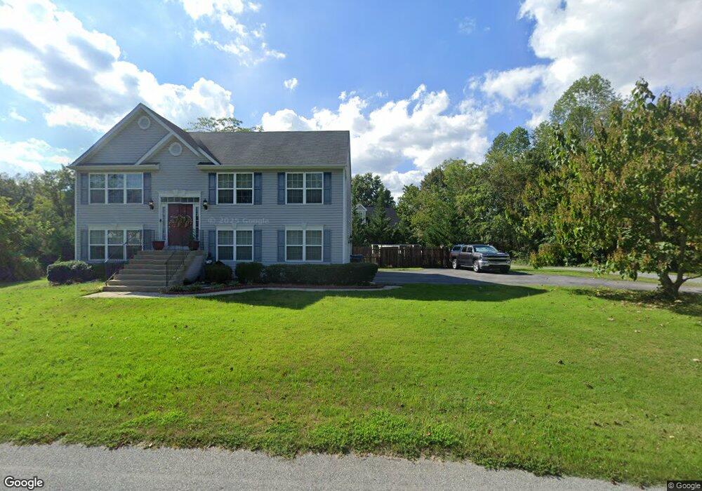
91 Mason Rd Prince Frederick, MD 20678
Estimated Value: $306,000 - $349,634
--
Bed
1
Bath
1,440
Sq Ft
$233/Sq Ft
Est. Value
About This Home
This home is located at 91 Mason Rd, Prince Frederick, MD 20678 and is currently estimated at $335,909, approximately $233 per square foot. 91 Mason Rd is a home located in Calvert County with nearby schools including Barstow Elementary School, Calvert Middle School, and Calvert High School.
Ownership History
Date
Name
Owned For
Owner Type
Purchase Details
Closed on
Dec 6, 2013
Sold by
Patuxent Habitat For Humanity Inc
Bought by
Ward Linda L and Ward Elleasha D
Current Estimated Value
Home Financials for this Owner
Home Financials are based on the most recent Mortgage that was taken out on this home.
Original Mortgage
$83,650
Outstanding Balance
$62,565
Interest Rate
4.15%
Mortgage Type
Stand Alone Second
Estimated Equity
$273,344
Create a Home Valuation Report for This Property
The Home Valuation Report is an in-depth analysis detailing your home's value as well as a comparison with similar homes in the area
Home Values in the Area
Average Home Value in this Area
Purchase History
| Date | Buyer | Sale Price | Title Company |
|---|---|---|---|
| Ward Linda L | $153,350 | Brennan Title Company |
Source: Public Records
Mortgage History
| Date | Status | Borrower | Loan Amount |
|---|---|---|---|
| Open | Ward Linda L | $83,650 | |
| Open | Ward Linda L | $153,350 |
Source: Public Records
Tax History Compared to Growth
Tax History
| Year | Tax Paid | Tax Assessment Tax Assessment Total Assessment is a certain percentage of the fair market value that is determined by local assessors to be the total taxable value of land and additions on the property. | Land | Improvement |
|---|---|---|---|---|
| 2025 | $2,800 | $238,900 | $0 | $0 |
| 2024 | $2,632 | $223,800 | $76,300 | $147,500 |
| 2023 | $2,450 | $215,233 | $0 | $0 |
| 2022 | $2,358 | $206,667 | $0 | $0 |
| 2021 | $2,261 | $198,100 | $76,300 | $121,800 |
| 2020 | $2,261 | $196,900 | $0 | $0 |
| 2019 | $2,255 | $195,700 | $0 | $0 |
| 2018 | $2,229 | $194,500 | $76,300 | $118,200 |
| 2017 | $2,105 | $180,367 | $0 | $0 |
| 2016 | -- | $166,233 | $0 | $0 |
| 2015 | $752 | $152,100 | $0 | $0 |
| 2014 | $752 | $152,100 | $0 | $0 |
Source: Public Records
Map
Nearby Homes
- 85 Mason Rd
- 240 Mason Rd
- 49 Thoroughbred Dr
- 125 Polo Way
- 380 Mason Rd
- 365 Equestrian Way
- 360 Whirlaway Dr
- 447 Dark Star Way
- 103 Westlake Blvd
- 145 Stafford Rd
- 2590 Hallowing Point Rd
- 512 Falcon Place
- 285 Stafford Rd Stafford Rd
- 667 Hawk Hill Dr
- The Benedict A Plan at Patuxent Commons
- The Benedict B2 Plan at Patuxent Commons
- The Benedict C Plan at Patuxent Commons
- 185 Radio Dr
- 84 Potomac Ct
- 0 Armory Rd