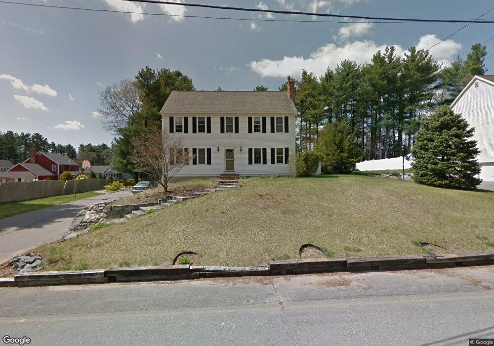
91 Partridge Cir Taunton, MA 02780
Whittenton NeighborhoodEstimated Value: $623,915 - $665,000
4
Beds
3
Baths
1,976
Sq Ft
$328/Sq Ft
Est. Value
About This Home
This home is located at 91 Partridge Cir, Taunton, MA 02780 and is currently estimated at $648,229, approximately $328 per square foot. 91 Partridge Cir is a home located in Bristol County with nearby schools including Benjamin Friedman Middle School, Joseph C. Chamberlain Elementary School, and Taunton High School.
Ownership History
Date
Name
Owned For
Owner Type
Purchase Details
Closed on
Feb 29, 1988
Sold by
Northbay Const Corp
Bought by
Collins Barry P
Current Estimated Value
Home Financials for this Owner
Home Financials are based on the most recent Mortgage that was taken out on this home.
Original Mortgage
$75,000
Interest Rate
10.49%
Mortgage Type
Purchase Money Mortgage
Create a Home Valuation Report for This Property
The Home Valuation Report is an in-depth analysis detailing your home's value as well as a comparison with similar homes in the area
Home Values in the Area
Average Home Value in this Area
Purchase History
| Date | Buyer | Sale Price | Title Company |
|---|---|---|---|
| Collins Barry P | $175,900 | -- |
Source: Public Records
Mortgage History
| Date | Status | Borrower | Loan Amount |
|---|---|---|---|
| Open | Collins Barry P | $150,000 | |
| Closed | Colllins Barry P | $100,000 | |
| Closed | Collins Barry P | $39,000 | |
| Closed | Collins Barry P | $85,000 | |
| Closed | Collins Barry P | $75,000 |
Source: Public Records
Tax History Compared to Growth
Tax History
| Year | Tax Paid | Tax Assessment Tax Assessment Total Assessment is a certain percentage of the fair market value that is determined by local assessors to be the total taxable value of land and additions on the property. | Land | Improvement |
|---|---|---|---|---|
| 2025 | $5,677 | $518,900 | $132,400 | $386,500 |
| 2024 | $5,084 | $454,300 | $132,400 | $321,900 |
| 2023 | $4,994 | $414,400 | $126,400 | $288,000 |
| 2022 | $4,899 | $371,700 | $115,400 | $256,300 |
| 2021 | $4,913 | $346,000 | $104,900 | $241,100 |
| 2020 | $4,734 | $318,600 | $104,900 | $213,700 |
| 2019 | $4,815 | $305,500 | $104,900 | $200,600 |
| 2018 | $4,553 | $295,700 | $105,900 | $189,800 |
| 2017 | $4,457 | $283,700 | $100,400 | $183,300 |
| 2016 | $4,303 | $274,400 | $97,500 | $176,900 |
| 2015 | $4,117 | $274,300 | $95,400 | $178,900 |
| 2014 | $4,094 | $280,200 | $95,400 | $184,800 |
Source: Public Records
Map
Nearby Homes
- 750 Whittenton St Unit 522
- 72 Lakeview Place
- 0 Montclair Ave Unit 72130752
- 261
- 68 Sabbatia Ln
- 193 Fremont St
- 71 Pondview Cir
- 74 Blueberry Ln
- 508 Crane Ave S
- 20 Shore Dr
- 0 Whittenton St
- 25 Sunset Dr
- 17 Waverly St
- 514 W Britannia St
- 1 Lisa Dr
- 450 W Britannia St
- 22 Garfield St
- 9 Abbey Ln
- 214 Eldridge St
- 17 Lisa Dr
- 83 Partridge Cir
- 109 Partridge Cir
- 27 Quail Dr
- 37 Quail Dr
- 129 Partridge Cir
- 96 Partridge Cir
- 88 Partridge Cir
- 67 Partridge Cir
- 76 Partridge Cir
- 51 Quail Dr
- 104 Partridge Cir
- 15 Quail Dr
- 114 Partridge Cir
- 108 Partridge Cir
- 126 Partridge Cir
- 39 Partridge Cir
- 32 Quail Dr
- 44 Quail Dr
- 20 Quail Dr
- 20 Quail Dr Unit A-C