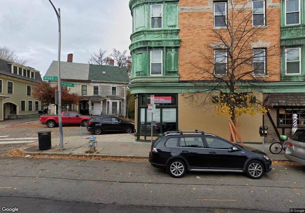
91 River St Cambridge, MA 02139
Riverside Neighborhood
3
Beds
1
Bath
9,260
Sq Ft
1,742
Sq Ft Lot
About This Home
This home is located at 91 River St, Cambridge, MA 02139. 91 River St is a home located in Middlesex County with nearby schools including Prospect Hill Academy Charter School and St. Paul's Choir School.
Ownership History
We collect this data history from publicly available records. To have your information removed, we recommend requesting removal directly through your county’s website.
Date
Name
Owned For
Owner Type
Purchase Details
Closed on
Feb 21, 2013
Sold by
Bought by
Purchase Details
Closed on
Oct 25, 1977
Bought by
Create a Home Valuation Report for This Property
The Home Valuation Report is an in-depth analysis detailing your home's value as well as a comparison with similar homes in the area
Home Values in the Area
Average Home Value in this Area
Purchase History
We collect this data history from publicly available records. To have your information removed, we recommend requesting removal directly through your county’s website.
| Date | Buyer | Sale Price | Title Company |
|---|---|---|---|
| -- | -- | ||
| $85,000 | -- |
Source: Public Records
Tax History
We collect this data history from publicly available records. To have your information removed, we recommend requesting removal directly through your county’s website.
| Year | Tax Paid | Tax Assessment Tax Assessment Total Assessment is a certain percentage of the fair market value that is determined by local assessors to be the total taxable value of land and additions on the property. | Land | Improvement |
|---|---|---|---|---|
| 2025 | -- | $2,697,600 | $885,200 | $1,812,400 |
| 2024 | -- | $2,825,100 | $932,100 | $1,893,000 |
| 2023 | $0 | $2,824,100 | $956,600 | $1,867,500 |
| 2022 | $0 | $2,664,600 | $895,400 | $1,769,200 |
| 2021 | $6,057 | $2,761,500 | $882,300 | $1,879,200 |
| 2020 | $5,799 | $2,521,700 | $873,600 | $1,648,100 |
| 2019 | $5,401 | $2,264,200 | $759,800 | $1,504,400 |
| 2018 | $0 | $2,020,200 | $660,800 | $1,359,400 |
| 2017 | $0 | $1,808,700 | $627,200 | $1,181,500 |
| 2016 | -- | $1,558,900 | $448,000 | $1,110,900 |
| 2015 | -- | $1,386,100 | $385,300 | $1,000,800 |
| 2014 | -- | $1,287,900 | $358,400 | $929,500 |
Source: Public Records
Map
Nearby Homes
- 55 Magazine St Unit 28
- 55 Magazine St Unit 21
- 44-46 Western Ave
- 241 River St Unit 6
- 410 Franklin St
- 88 Pearl St Unit 2
- 164 Pearl St Unit 164
- 54 Pearl St Unit 3
- 295 River St Unit 3R
- 860 Massachusetts Ave Unit 854 8
- 325 Western Ave
- 872 Massachusetts Ave Unit 807
- 872 Massachusetts Ave Unit 304
- 191 Franklin St
- 84 Kinnaird St
- 87 Kinnaird St Unit 2
- 209 Green St Unit 2
- 209 Green St Unit 1
- 209 Green St
- 213 Green St Unit 2
- 48 Pleasant St
- 48 Pleasant St
- 48 Pleasant St
- 3 1/2 Pleasant Place Unit 2
- 3 1/2 Pleasant Place Unit 1
- 3 Pleasant Place Unit 3
- 2 Pleasant Place
- 4 Pleasant Place
- 44 Pleasant St
- 50 Cottage St
- 50 Cottage St Unit 1
- 5 Pleasant Place
- 52 Pleasant St Unit C
- 52 1/2 Pleasant St Unit 52
- 52 1/2 Pleasant St Unit C
- 52 1/2 Pleasant St Unit B
- 52 1/2 Pleasant St Unit A
- 52 Pleasant St Unit A
- 52 Pleasant St Unit B
- 52 1/2 Pleasant St Unit 52 1/2
Your Personal Tour Guide
Ask me questions while you tour the home.