Estimated Value: $560,000 - $611,000
2
Beds
4
Baths
2,200
Sq Ft
$261/Sq Ft
Est. Value
About This Home
This home is located at 91 Timothy Cir, Wayne, PA 19087 and is currently estimated at $574,785, approximately $261 per square foot. 91 Timothy Cir is a home located in Montgomery County with nearby schools including Roberts Elementary School, Upper Merion Middle School, and Upper Merion High School.
Ownership History
Date
Name
Owned For
Owner Type
Purchase Details
Closed on
Mar 23, 2006
Sold by
Gordon Stacy L
Bought by
Peskin Hal L and Peskin Shellie L
Current Estimated Value
Home Financials for this Owner
Home Financials are based on the most recent Mortgage that was taken out on this home.
Original Mortgage
$150,000
Outstanding Balance
$85,224
Interest Rate
6.26%
Estimated Equity
$489,561
Purchase Details
Closed on
Nov 22, 1999
Sold by
Kraftson Raymond H and Kraftson Marguerite K
Bought by
Gordon Stacy L
Create a Home Valuation Report for This Property
The Home Valuation Report is an in-depth analysis detailing your home's value as well as a comparison with similar homes in the area
Purchase History
| Date | Buyer | Sale Price | Title Company |
|---|---|---|---|
| Peskin Hal L | $410,000 | None Available | |
| Gordon Stacy L | $230,000 | -- |
Source: Public Records
Mortgage History
| Date | Status | Borrower | Loan Amount |
|---|---|---|---|
| Open | Peskin Hal L | $150,000 |
Source: Public Records
Tax History
| Year | Tax Paid | Tax Assessment Tax Assessment Total Assessment is a certain percentage of the fair market value that is determined by local assessors to be the total taxable value of land and additions on the property. | Land | Improvement |
|---|---|---|---|---|
| 2025 | $6,449 | $209,210 | $47,920 | $161,290 |
| 2024 | $6,449 | $209,210 | $47,920 | $161,290 |
| 2023 | $6,220 | $209,210 | $47,920 | $161,290 |
| 2022 | $5,953 | $209,210 | $47,920 | $161,290 |
| 2021 | $5,768 | $209,210 | $47,920 | $161,290 |
| 2020 | $5,512 | $209,210 | $47,920 | $161,290 |
| 2019 | $5,418 | $209,210 | $47,920 | $161,290 |
Source: Public Records
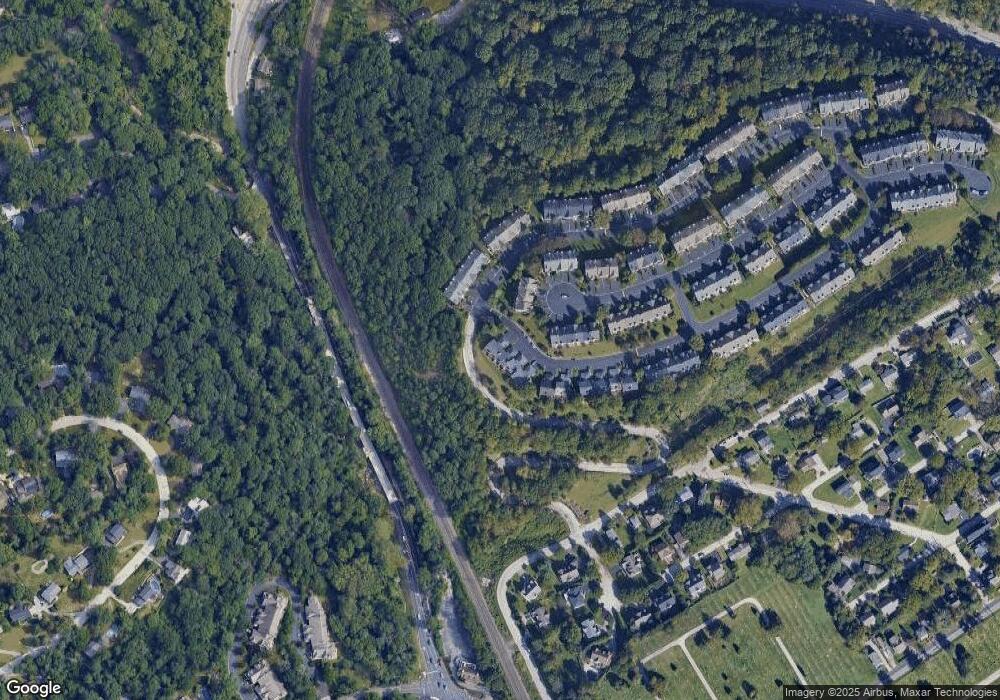
Map
Nearby Homes
- 149 Timothy Cir Unit 29C
- 160 Lemonton Way Unit C
- 117 Arden Rd
- 1120 Grandview Terrace
- 2 Arden Rd
- 4 Arden Rd
- Lot 1 Arden Rd
- Lot 3 Arden Rd
- 220 Balligomingo Rd
- 0 Matsonford Rd
- 188 Arden Rd
- 281 E Matsonford Rd
- 1241 Denbigh Ln
- 161 Lantern Ln
- 230 Arden Rd
- 958 Longview Rd
- 336 Overlook Ln
- 1236 Denbigh Ln
- 173 Gypsy Ln
- 123 Gypsy Ln
- 93 Timothy Cir
- 89 Timothy Cir Unit A
- 95 Timothy Cir
- 99 Timothy Cir
- 101 Timothy Cir
- 103 Timothy Cir
- 270 Lookout Place
- 270 Valley Forge Lookout Place
- 267 Lookout Place
- 268 Lookout Place
- 266 Valley Forge Lookout Place
- 266 Lookout Place
- 265 Lookout Place
- 265 Valley Forge Lookout Place
- 107 Timothy Cir
- 94 Lemonton Way
- 109 Timothy Cir
- 263 Lookout Place Unit 19D
- 96 Lemonton Way Unit B1
- 264 Lookout Place
Your Personal Tour Guide
Ask me questions while you tour the home.