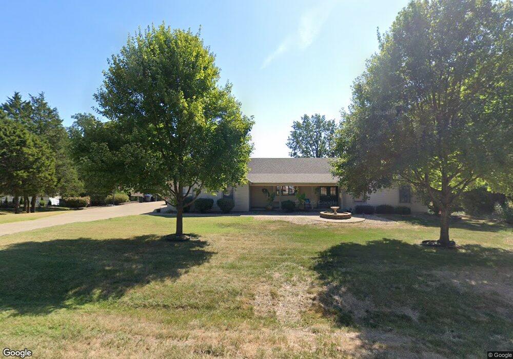
91 Westbrook Dr O Fallon, MO 63366
Estimated Value: $331,000 - $421,000
3
Beds
2
Baths
1,870
Sq Ft
$202/Sq Ft
Est. Value
About This Home
This home is located at 91 Westbrook Dr, O Fallon, MO 63366 and is currently estimated at $378,221, approximately $202 per square foot. 91 Westbrook Dr is a home located in St. Charles County with nearby schools including Joseph L. Mudd Elementary School, Forest Park Elementary School, and Fort Zumwalt North Middle School.
Ownership History
Date
Name
Owned For
Owner Type
Purchase Details
Closed on
Aug 26, 2020
Sold by
Simpson John M
Bought by
John M Simpson Revocable Trust
Current Estimated Value
Purchase Details
Closed on
Mar 31, 1998
Sold by
Button Alan Connie
Bought by
Simpson John M and Simpson Janet S
Home Financials for this Owner
Home Financials are based on the most recent Mortgage that was taken out on this home.
Original Mortgage
$149,939
Interest Rate
7.04%
Create a Home Valuation Report for This Property
The Home Valuation Report is an in-depth analysis detailing your home's value as well as a comparison with similar homes in the area
Home Values in the Area
Average Home Value in this Area
Purchase History
| Date | Buyer | Sale Price | Title Company |
|---|---|---|---|
| John M Simpson Revocable Trust | -- | Schmidt David S | |
| The John M Simpson Revocable Trust | -- | None Available | |
| Simpson John M | $166,599 | -- |
Source: Public Records
Mortgage History
| Date | Status | Borrower | Loan Amount |
|---|---|---|---|
| Previous Owner | Simpson John M | $149,939 |
Source: Public Records
Tax History
| Year | Tax Paid | Tax Assessment Tax Assessment Total Assessment is a certain percentage of the fair market value that is determined by local assessors to be the total taxable value of land and additions on the property. | Land | Improvement |
|---|---|---|---|---|
| 2025 | $3,995 | $67,826 | -- | -- |
| 2023 | $3,997 | $60,405 | $0 | $0 |
| 2022 | $3,720 | $52,297 | $0 | $0 |
| 2021 | $3,722 | $52,297 | $0 | $0 |
| 2020 | $3,604 | $49,050 | $0 | $0 |
| 2019 | $3,613 | $49,050 | $0 | $0 |
| 2018 | $3,220 | $41,711 | $0 | $0 |
| 2017 | $3,180 | $41,711 | $0 | $0 |
| 2016 | $2,858 | $37,340 | $0 | $0 |
| 2015 | $2,657 | $37,340 | $0 | $0 |
| 2014 | $2,809 | $38,816 | $0 | $0 |
Source: Public Records
Map
Nearby Homes
- 0 Montbrook Dr
- 734 Sunset Ln
- 731 Cordes St
- 24 Hawthorne Ct
- 38 Downing St
- 423 Woodlawn Ave
- 503 Imperial Ct
- 6 Emerson Ct
- 151 N Wellington St
- 4 Shinnecock Hills
- 11 Southern Hills Ct
- 10 Southern Hills Ct
- 962 Midpoint Dr
- 205 E Elm St
- 309 E Pitman St
- 1117 Turtle Creek Dr
- 127 Columbia Meadows Ln
- 136 Columbia Meadows Ln
- 116 Columbia Meadows Ln
- 6 S Boxwood Ln
- 87 Westbrook Dr
- 93 Westbrook Dr
- 353 Westbrook Dr
- 357 Westbrook Dr
- 88 Westbrook Dr
- 349 Westbrook Dr
- 361 Westbrook Dr
- 90 Westbrook Dr
- 86 Westbrook Dr
- 377 Westbrook Dr
- 373 Westbrook Dr
- 369 Westbrook Dr
- 85 Westbrook Dr
- 341 Westbrook Dr
- 381 Westbrook Dr
- 4 Wyndy Ct
- 354 Westbrook Dr
- 350 Westbrook Dr
- 337 Westbrook Dr
- 360 Westbrook Dr
Your Personal Tour Guide
Ask me questions while you tour the home.