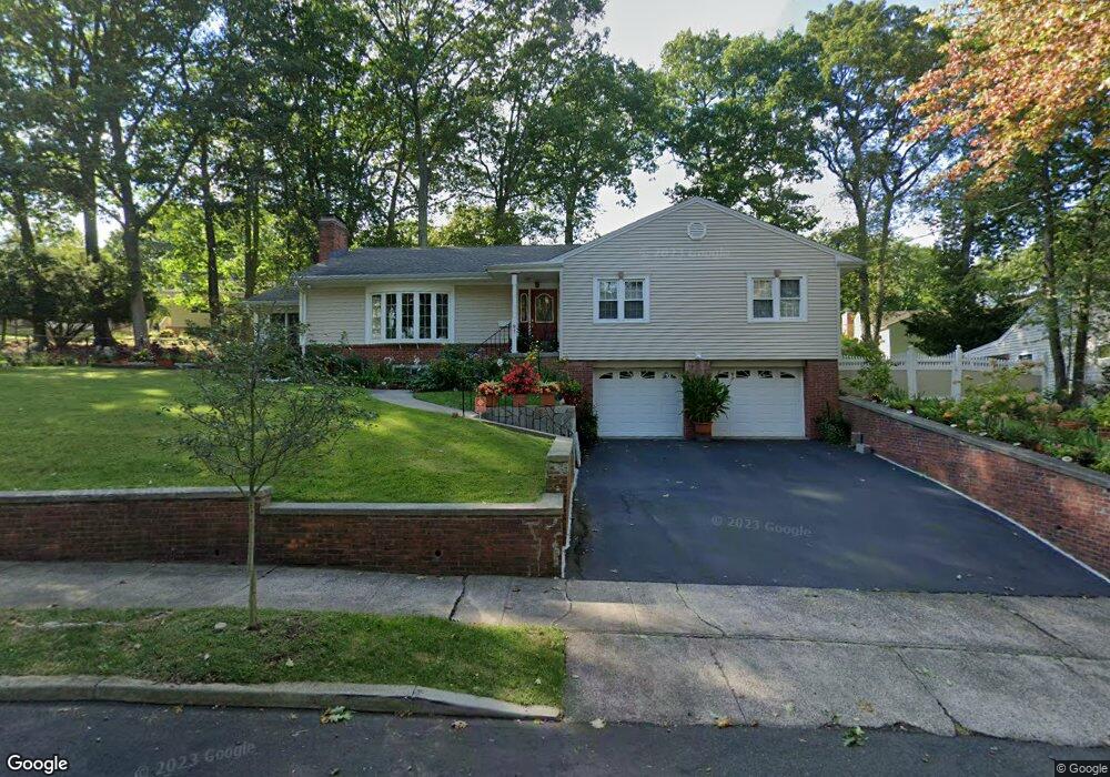
91 Whittier Rd New Haven, CT 06515
Westville NeighborhoodEstimated Value: $476,000 - $521,000
3
Beds
3
Baths
1,871
Sq Ft
$264/Sq Ft
Est. Value
About This Home
This home is located at 91 Whittier Rd, New Haven, CT 06515 and is currently estimated at $494,747, approximately $264 per square foot. 91 Whittier Rd is a home located in New Haven County with nearby schools including Elm City Montessori School and Hopkins School.
Ownership History
Date
Name
Owned For
Owner Type
Purchase Details
Closed on
Mar 25, 2013
Sold by
Thomas Cornell and Thomas Paulette
Bought by
Thomas Cornel and Thomas Paulette
Current Estimated Value
Home Financials for this Owner
Home Financials are based on the most recent Mortgage that was taken out on this home.
Original Mortgage
$239,229
Outstanding Balance
$169,047
Interest Rate
3.57%
Estimated Equity
$325,700
Purchase Details
Closed on
Jun 25, 2004
Sold by
Baitch Yaron and Baitch Melby
Bought by
Thomas Cornett and Thomas Paulette
Home Financials for this Owner
Home Financials are based on the most recent Mortgage that was taken out on this home.
Original Mortgage
$252,000
Interest Rate
6.32%
Purchase Details
Closed on
Aug 7, 1998
Sold by
Curtis Rita V
Bought by
Baitch Yaron and Ledewitz Mindy
Purchase Details
Closed on
Feb 11, 1988
Sold by
Goldstein Sidney L
Bought by
Curtis Albert H
Create a Home Valuation Report for This Property
The Home Valuation Report is an in-depth analysis detailing your home's value as well as a comparison with similar homes in the area
Home Values in the Area
Average Home Value in this Area
Purchase History
| Date | Buyer | Sale Price | Title Company |
|---|---|---|---|
| Thomas Cornel | -- | -- | |
| Thomas Cornett | $315,000 | -- | |
| Baitch Yaron | $130,000 | -- | |
| Curtis Albert H | $202,000 | -- |
Source: Public Records
Mortgage History
| Date | Status | Borrower | Loan Amount |
|---|---|---|---|
| Open | Curtis Albert H | $239,229 | |
| Previous Owner | Curtis Albert H | $252,000 | |
| Previous Owner | Curtis Albert H | $173,500 |
Source: Public Records
Tax History Compared to Growth
Tax History
| Year | Tax Paid | Tax Assessment Tax Assessment Total Assessment is a certain percentage of the fair market value that is determined by local assessors to be the total taxable value of land and additions on the property. | Land | Improvement |
|---|---|---|---|---|
| 2025 | $9,468 | $240,310 | $63,210 | $177,100 |
| 2024 | $9,252 | $240,310 | $63,210 | $177,100 |
| 2023 | $8,940 | $240,310 | $63,210 | $177,100 |
| 2022 | $9,552 | $240,310 | $63,210 | $177,100 |
| 2021 | $8,158 | $185,920 | $41,020 | $144,900 |
| 2020 | $8,158 | $185,920 | $41,020 | $144,900 |
| 2019 | $7,991 | $185,920 | $41,020 | $144,900 |
| 2018 | $7,991 | $185,920 | $41,020 | $144,900 |
| 2017 | $7,191 | $185,920 | $41,020 | $144,900 |
| 2016 | $7,338 | $176,610 | $42,630 | $133,980 |
| 2015 | $7,338 | $176,610 | $42,630 | $133,980 |
| 2014 | $7,338 | $176,610 | $42,630 | $133,980 |
Source: Public Records
Map
Nearby Homes
- 195 Stevenson Rd
- 36 Birch Dr
- 119 Brooklawn Cir
- 360 Fountain St Unit 5
- 51 Fountain Terrace
- 690 Forest Rd Unit 702
- 690 Forest Rd Unit 392
- 690 Forest Rd Unit 511
- 699 Forest Rd
- 61 Anthony St
- 126 Willard St
- 119 Westwood Rd
- 55 Marvel Rd
- 11 Priscilla Rd
- 303 Central Ave
- 80 W Rock Ave
- 70 Fountain St Unit 4
- 1016 Whalley Ave Unit 6
- 233 Valley St
- 999 Whalley Ave Unit 1H
- 130 Stevenson Rd
- 99 Whittier Rd
- 81 Whittier Rd
- 140 Stevenson Rd
- 94 Whittier Rd
- 80 Whittier Rd
- 150 Stevenson Rd
- 111 Whittier Rd
- 71 Whittier Rd
- 104 Whittier Rd
- 110 Stevenson Rd
- 160 Stevenson Rd
- 137 Stevenson Rd
- 70 Whittier Rd
- 145 Stevenson Rd
- 21 Byron Place
- 11 Byron Place
- 119 Whittier Rd
- 61 Whittier Rd
- 125 Stevenson Rd