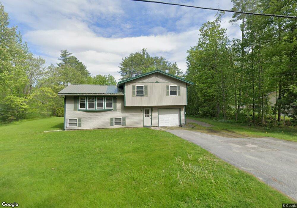
91 Woodridge Dr Manchester, ME 04351
Estimated Value: $345,056 - $492,000
3
Beds
2
Baths
1,872
Sq Ft
$213/Sq Ft
Est. Value
About This Home
This home is located at 91 Woodridge Dr, Manchester, ME 04351 and is currently estimated at $399,264, approximately $213 per square foot. 91 Woodridge Dr is a home located in Kennebec County.
Ownership History
Date
Name
Owned For
Owner Type
Purchase Details
Closed on
Nov 20, 2006
Sold by
Cote Margaret A
Bought by
Cote Jason P and Cote Margaret A
Current Estimated Value
Home Financials for this Owner
Home Financials are based on the most recent Mortgage that was taken out on this home.
Original Mortgage
$50,000
Interest Rate
6.33%
Mortgage Type
Purchase Money Mortgage
Create a Home Valuation Report for This Property
The Home Valuation Report is an in-depth analysis detailing your home's value as well as a comparison with similar homes in the area
Home Values in the Area
Average Home Value in this Area
Purchase History
| Date | Buyer | Sale Price | Title Company |
|---|---|---|---|
| Cote Jason P | -- | -- | |
| Cote Margaret A | -- | -- |
Source: Public Records
Mortgage History
| Date | Status | Borrower | Loan Amount |
|---|---|---|---|
| Closed | Cote Margaret A | $50,000 |
Source: Public Records
Tax History Compared to Growth
Tax History
| Year | Tax Paid | Tax Assessment Tax Assessment Total Assessment is a certain percentage of the fair market value that is determined by local assessors to be the total taxable value of land and additions on the property. | Land | Improvement |
|---|---|---|---|---|
| 2024 | $2,515 | $151,500 | $52,000 | $99,500 |
| 2023 | $2,515 | $151,500 | $52,000 | $99,500 |
| 2022 | $2,386 | $151,500 | $52,000 | $99,500 |
| 2021 | $2,424 | $151,500 | $52,000 | $99,500 |
| 2020 | $2,651 | $151,500 | $52,000 | $99,500 |
| 2019 | $2,666 | $151,500 | $52,000 | $99,500 |
| 2018 | $2,629 | $151,500 | $52,000 | $99,500 |
| 2017 | $2,560 | $151,500 | $52,000 | $99,500 |
| 2016 | $2,647 | $161,400 | $52,000 | $109,400 |
| 2015 | $2,574 | $161,400 | $52,000 | $109,400 |
| 2013 | $2,444 | $163,500 | $52,000 | $111,500 |
Source: Public Records
Map
Nearby Homes
- 0 Ingraham St
- 26 Peggy Ln
- 33 Woodridge Dr
- 0 Cross St
- 35 Estates Dr Unit 3
- 43 Estates Dr Unit 1
- 693- B Western Ave
- 2549 US Route 202
- 226 Pond Rd
- 0 Allen Hill Ln
- TBD Pond Rd
- 424 Winthrop St
- 165 Wade Rd
- 19 Windy Meadows Dr
- 252 Meadowhill Rd
- Lot 55 S Birchwood Ln
- 340 Stanley Rd
- 772 Prescott Rd
- 333 Stanley Rd
- 3 Tallwood Rd
- 53 Country Club Rd Unit 2
- 85 Woodridge Dr
- 90 Woodridge Dr
- 81 Woodridge Dr
- 98 Woodridge Dr
- 84 Woodridge Dr
- 99 Woodridge Dr
- 75 Woodridge Dr
- 80 Woodridge Dr
- 49 Sylvan Way
- 76 Sylvan Way
- 41 Sylvan Way
- 65 Sylvan Way
- 70 Sylvan Way
- 74 Woodridge Dr
- 35 Sylvan Way
- 69 Woodridge Dr
- 54 Sylvan Way
- 64 Sylvan Way
- 70 Woodridge Dr