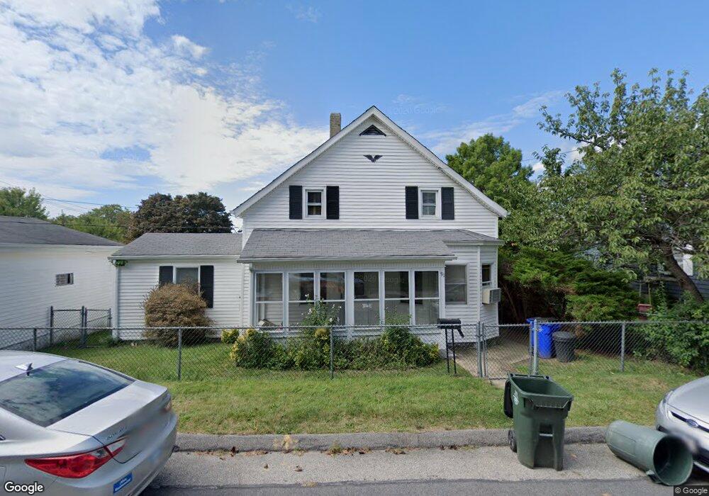
91 Woodward St Fall River, MA 02724
Sandy Beach NeighborhoodEstimated Value: $349,000 - $458,000
3
Beds
1
Bath
1,156
Sq Ft
$341/Sq Ft
Est. Value
About This Home
This home is located at 91 Woodward St, Fall River, MA 02724 and is currently estimated at $394,520, approximately $341 per square foot. 91 Woodward St is a home located in Bristol County with nearby schools including Carlton M. Viveiros Elementary School, Matthew J. Kuss Middle School, and B M C Durfee High School.
Ownership History
Date
Name
Owned For
Owner Type
Purchase Details
Closed on
Jun 12, 2012
Sold by
Desjardins Claire M
Bought by
Desjardins Claire M and Nasiff Claudette M
Current Estimated Value
Purchase Details
Closed on
Aug 22, 1996
Sold by
Larue Norman P and Larue Elizabeth E
Bought by
Dejardins Claire
Home Financials for this Owner
Home Financials are based on the most recent Mortgage that was taken out on this home.
Original Mortgage
$25,000
Interest Rate
8.4%
Mortgage Type
Purchase Money Mortgage
Create a Home Valuation Report for This Property
The Home Valuation Report is an in-depth analysis detailing your home's value as well as a comparison with similar homes in the area
Home Values in the Area
Average Home Value in this Area
Purchase History
| Date | Buyer | Sale Price | Title Company |
|---|---|---|---|
| Desjardins Claire M | -- | -- | |
| Dejardins Claire | $112,000 | -- |
Source: Public Records
Mortgage History
| Date | Status | Borrower | Loan Amount |
|---|---|---|---|
| Previous Owner | Dejardins Claire | $25,000 |
Source: Public Records
Tax History Compared to Growth
Tax History
| Year | Tax Paid | Tax Assessment Tax Assessment Total Assessment is a certain percentage of the fair market value that is determined by local assessors to be the total taxable value of land and additions on the property. | Land | Improvement |
|---|---|---|---|---|
| 2025 | $3,556 | $310,600 | $117,800 | $192,800 |
| 2024 | $3,342 | $290,900 | $115,500 | $175,400 |
| 2023 | $3,344 | $272,500 | $104,100 | $168,400 |
| 2022 | $3,006 | $238,200 | $98,200 | $140,000 |
| 2021 | $5,335 | $200,500 | $93,800 | $106,700 |
| 2020 | $5,105 | $191,600 | $89,500 | $102,100 |
| 2019 | $2,773 | $190,200 | $93,500 | $96,700 |
| 2018 | $2,605 | $178,200 | $94,200 | $84,000 |
| 2017 | $2,485 | $177,500 | $94,200 | $83,300 |
| 2016 | $2,403 | $176,300 | $97,100 | $79,200 |
| 2015 | $2,489 | $190,300 | $97,100 | $93,200 |
| 2014 | $2,394 | $190,300 | $97,100 | $93,200 |
Source: Public Records
Map
Nearby Homes
- 66 Bailey St
- 584-586 Mount Hope Ave
- 391 Clarkson St
- 59 Mount Hope Ave
- 0 Sampson St
- 133 Kempton St
- 616 Woodman St
- 126 Wheeler St
- 579 Summit St Unit 3
- 579 Summit St Unit 2
- 289 King Philip St
- 39 Hilton St
- 15 Higgins St
- 644-648 King Philip St
- 321 King St
- 160 Foote St
- 238 Judson St
- 636-644 Dwelly St
- 24 Hall St
- 105 Borden Rd
- 348 Mount Hope Ave
- 77 Woodward St
- 20 Shepard St
- 4 Shepard St
- 62 Woodward St
- 364 Mount Hope Ave
- 13 Shepard St
- 76 Woodward St
- 345 Mount Hope Ave
- 345 Mount Hope Ave Unit 1
- 287 Moorland St
- 78 Woodward St
- 321 Mount Hope Ave
- 93 Clarkson St
- 15 Shepard St
- 300 Mount Hope Ave
- 390 Mount Hope Ave
- 373 Mount Hope Ave Unit 375
- 373 Mount Hope Ave Unit 2
- 373 Mt Hope Ave Unit 2