910 Colony Trail Lanexa, VA 23089
Estimated Value: $550,000 - $1,059,000
3
Beds
3
Baths
2,100
Sq Ft
$401/Sq Ft
Est. Value
About This Home
This home is located at 910 Colony Trail, Lanexa, VA 23089 and is currently estimated at $843,103, approximately $401 per square foot. 910 Colony Trail is a home located in New Kent County with nearby schools including New Kent High School.
Ownership History
Date
Name
Owned For
Owner Type
Purchase Details
Closed on
Dec 4, 2017
Sold by
Loving James L and Loving Marilyn S
Bought by
Loving James L and Loving Marilyn S
Current Estimated Value
Purchase Details
Closed on
Aug 31, 2006
Sold by
Kozak Barry R
Bought by
Loving James L
Home Financials for this Owner
Home Financials are based on the most recent Mortgage that was taken out on this home.
Original Mortgage
$500,000
Outstanding Balance
$302,878
Interest Rate
6.83%
Mortgage Type
New Conventional
Estimated Equity
$540,225
Purchase Details
Closed on
Aug 30, 2005
Sold by
Davis Carolyn T
Bought by
Borden Kathryn A and Owen Lorrie S
Create a Home Valuation Report for This Property
The Home Valuation Report is an in-depth analysis detailing your home's value as well as a comparison with similar homes in the area
Home Values in the Area
Average Home Value in this Area
Purchase History
| Date | Buyer | Sale Price | Title Company |
|---|---|---|---|
| Loving James L | -- | None Available | |
| Loving James L | $650,000 | -- | |
| Borden Kathryn A | $639,000 | -- |
Source: Public Records
Mortgage History
| Date | Status | Borrower | Loan Amount |
|---|---|---|---|
| Open | Borden Kathryn A | $500,000 |
Source: Public Records
Tax History
| Year | Tax Paid | Tax Assessment Tax Assessment Total Assessment is a certain percentage of the fair market value that is determined by local assessors to be the total taxable value of land and additions on the property. | Land | Improvement |
|---|---|---|---|---|
| 2025 | $5,573 | $928,900 | $339,600 | $589,300 |
| 2024 | $5,481 | $928,900 | $339,600 | $589,300 |
| 2023 | $4,818 | $719,100 | $299,900 | $419,200 |
| 2022 | $4,818 | $719,100 | $299,900 | $419,200 |
| 2021 | $5,034 | $637,200 | $281,300 | $355,900 |
| 2020 | $5,034 | $637,200 | $281,300 | $355,900 |
| 2019 | $5,492 | $669,800 | $302,400 | $367,400 |
| 2018 | $5,492 | $669,800 | $302,400 | $367,400 |
| 2017 | $4,857 | $585,200 | $302,300 | $282,900 |
| 2016 | $4,857 | $585,200 | $302,300 | $282,900 |
| 2015 | $4,810 | $572,600 | $302,100 | $270,500 |
| 2014 | -- | $572,600 | $302,100 | $270,500 |
Source: Public Records
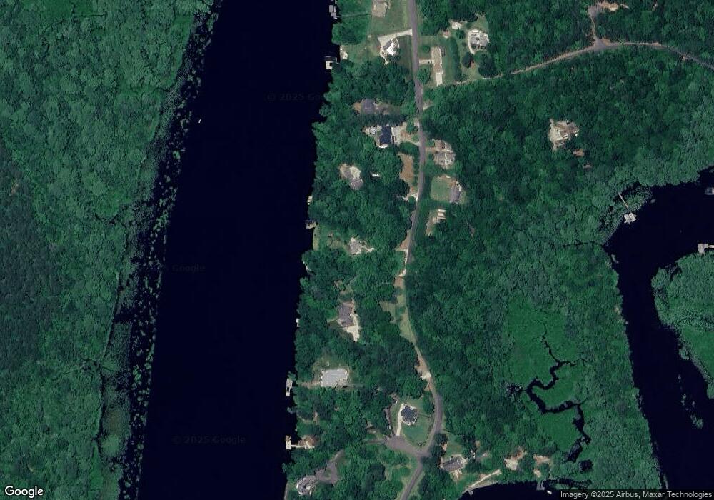
Map
Nearby Homes
- 2.7 AC Colony Trail
- 0 Cliffe Ct Unit 2501411
- 15507 Fort James Ct
- 0 2 Rivers Trail
- 276 Colony Trail
- TBD S Waterside Dr
- 7641 Beechwood Dr
- 1025 Riverside Dr
- .034ac Riverside Dr
- 00 Riverside Dr
- 7609 Beechwood Dr
- 2359 N Waterside Dr
- 517 W Riverside Dr
- 7221 Otey Dr
- 7284 Osprey Dr
- 14401 Doctors Creek Rd Unit C
- 8122 Diascund Rd
- 1026 Stewarts Rd
- 501 Racefield Dr
- 9028 Barnes Rd
- 900 Colony Trail
- 1000 Colony Trail
- 820 Colony Trail
- 1010 Colony Trail
- 1001 Colony Trail
- 1007 Colony Trail
- 1020 Colony Trail
- 15402 Rolfe Ct
- 1019 Colony Trail
- 1100 Colony Trail
- 15404 Rolfe Ct
- 1101 Colony Trail
- 15400 Rolfe Ct
- 15520 Diascund Pointe Trail
- 1110 Colony Trail
- 15531 Diascund Pointe Trail
- 751 Colony Trail
- 15401 Rolfe Ct
- 1190 Colony Trail
- 1115 Colony Trail
Your Personal Tour Guide
Ask me questions while you tour the home.