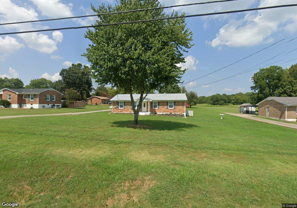
910 Fox Ln Lewisburg, TN 37091
Estimated Value: $189,791 - $280,000
--
Bed
1
Bath
1,404
Sq Ft
$181/Sq Ft
Est. Value
About This Home
This home is located at 910 Fox Ln, Lewisburg, TN 37091 and is currently estimated at $253,698, approximately $180 per square foot. 910 Fox Ln is a home located in Marshall County with nearby schools including Marshall Elementary School, Oak Grove Elementary School, and Westhills Elementary School.
Ownership History
Date
Name
Owned For
Owner Type
Purchase Details
Closed on
Nov 7, 2008
Sold by
Doud Donald N
Bought by
Doud Carolyn
Current Estimated Value
Purchase Details
Closed on
Mar 29, 2007
Sold by
Doud Donald N
Bought by
Donald Doud and Donald Carolyn
Purchase Details
Closed on
Nov 4, 1997
Sold by
Dale Cowan Marvin
Bought by
Doud Donald N
Purchase Details
Closed on
Feb 14, 1992
Bought by
Cowan Dale
Purchase Details
Closed on
Sep 20, 1991
Bought by
Holder Allen R and Holder Dorothy
Purchase Details
Closed on
Jul 12, 1989
Bought by
Hurt Sharon H
Create a Home Valuation Report for This Property
The Home Valuation Report is an in-depth analysis detailing your home's value as well as a comparison with similar homes in the area
Home Values in the Area
Average Home Value in this Area
Purchase History
| Date | Buyer | Sale Price | Title Company |
|---|---|---|---|
| Doud Carolyn | -- | -- | |
| Donald Doud | -- | -- | |
| Doud Donald N | $64,500 | -- | |
| Cowan Dale | $62,000 | -- | |
| Holder Allen R | $33,000 | -- | |
| Hurt Sharon H | $47,500 | -- |
Source: Public Records
Tax History Compared to Growth
Tax History
| Year | Tax Paid | Tax Assessment Tax Assessment Total Assessment is a certain percentage of the fair market value that is determined by local assessors to be the total taxable value of land and additions on the property. | Land | Improvement |
|---|---|---|---|---|
| 2024 | -- | $33,725 | $6,250 | $27,475 |
| 2023 | $1,046 | $33,725 | $6,250 | $27,475 |
| 2022 | $1,046 | $33,725 | $6,250 | $27,475 |
| 2021 | $998 | $21,450 | $4,500 | $16,950 |
| 2020 | $1,034 | $21,450 | $4,500 | $16,950 |
| 2019 | $1,001 | $22,225 | $4,500 | $17,725 |
| 2018 | $990 | $22,225 | $4,500 | $17,725 |
| 2017 | $990 | $22,225 | $4,500 | $17,725 |
| 2016 | $1,057 | $20,650 | $4,250 | $16,400 |
| 2015 | $964 | $20,650 | $4,250 | $16,400 |
| 2014 | $869 | $18,600 | $4,250 | $14,350 |
Source: Public Records
Map
Nearby Homes
- 1020 Corey Dr
- 1011 Cornersville Rd
- 1159 White Dr
- 977 Galloway St
- 1128 Moreno Ln
- 718 Midway St
- 1151 Green Valley Dr
- 1205 Maelee Ann Dr
- 185 Southview Dr
- 198 Southview Dr
- 125 Southview Dr
- 795 Ashwood Ave
- 966 Berry St
- 1505 Sandy St
- 313 Pardo Dr
- 601 Joyce Ave
- 104 Mackenzie Way
- MEDFORD Plan at King's Landing
- 632 Colburn Dr
- 103 Mackenzie Way