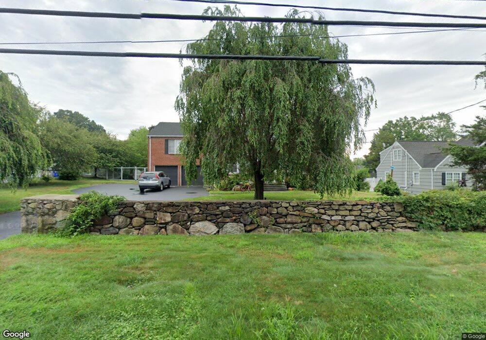
910 N Benson Rd Fairfield, CT 06824
University NeighborhoodEstimated Value: $904,000 - $1,336,736
4
Beds
3
Baths
3,264
Sq Ft
$351/Sq Ft
Est. Value
About This Home
This home is located at 910 N Benson Rd, Fairfield, CT 06824 and is currently estimated at $1,145,434, approximately $350 per square foot. 910 N Benson Rd is a home located in Fairfield County with nearby schools including Osborn Hill Elementary School, Fairfield Woods Middle School, and Fairfield Ludlowe High School.
Ownership History
Date
Name
Owned For
Owner Type
Purchase Details
Closed on
Oct 31, 2001
Sold by
Jemapete Christopher J
Bought by
Johnston Brendan G and Johnston Cynthia B
Current Estimated Value
Create a Home Valuation Report for This Property
The Home Valuation Report is an in-depth analysis detailing your home's value as well as a comparison with similar homes in the area
Home Values in the Area
Average Home Value in this Area
Purchase History
| Date | Buyer | Sale Price | Title Company |
|---|---|---|---|
| Johnston Brendan G | $469,000 | -- | |
| Johnston Brendan G | $469,000 | -- |
Source: Public Records
Mortgage History
| Date | Status | Borrower | Loan Amount |
|---|---|---|---|
| Open | Johnston Brendan G | $70,000 | |
| Open | Johnston Brendan G | $417,000 |
Source: Public Records
Tax History
| Year | Tax Paid | Tax Assessment Tax Assessment Total Assessment is a certain percentage of the fair market value that is determined by local assessors to be the total taxable value of land and additions on the property. | Land | Improvement |
|---|---|---|---|---|
| 2025 | $15,847 | $558,180 | $296,660 | $261,520 |
| 2024 | $15,573 | $558,180 | $296,660 | $261,520 |
| 2023 | $15,356 | $558,180 | $296,660 | $261,520 |
| 2022 | $15,205 | $558,180 | $296,660 | $261,520 |
| 2021 | $15,060 | $558,180 | $296,660 | $261,520 |
| 2020 | $12,846 | $479,500 | $293,510 | $185,990 |
| 2019 | $12,846 | $479,500 | $293,510 | $185,990 |
| 2018 | $12,640 | $479,500 | $293,510 | $185,990 |
| 2017 | $12,381 | $479,500 | $293,510 | $185,990 |
| 2016 | $12,203 | $479,500 | $293,510 | $185,990 |
| 2015 | $11,968 | $482,790 | $309,470 | $173,320 |
| 2014 | $11,780 | $482,790 | $309,470 | $173,320 |
Source: Public Records
Map
Nearby Homes
- 1478 Jennings Rd
- 15 Barton Rd
- 164 Wakeman Rd
- 70 Meadow Ridge Rd
- 77 Meadowbrook Rd
- 1091 Round Hill Rd
- 20 Ermine St
- 68 Figlar Ave
- 274 High St
- 1353 Mill Plain Rd
- 42 Robin Cir
- 196 Robin Ln
- 610 Unquowa Rd
- 12 Reynolds Dr
- 240 Sunnyridge Ave Unit 63
- 359 Reid St
- 245 Reid St
- 3250 Fairfield Ave Unit 302
- 65 Benton St
- 1 Overlook Ave
- 888 N Benson Rd
- 932 N Benson Rd
- 223 Wormwood Rd
- 239 Wormwood Rd
- 866 N Benson Rd
- 207 Wormwood Rd
- 255 Wormwood Rd
- 948 N Benson Rd
- 960 N Benson Rd
- 147 Dill Rd
- 197 Wormwood Rd
- 175 Dill Rd
- 175 Wormwood Rd
- 133 Dill Rd
- 305 Wormwood Rd
- 844 N Benson Rd
- 260 Wormwood Rd
- 161 Wormwood Rd
- 85 Yarrow Rd
- 271 Wormwood Rd
Your Personal Tour Guide
Ask me questions while you tour the home.