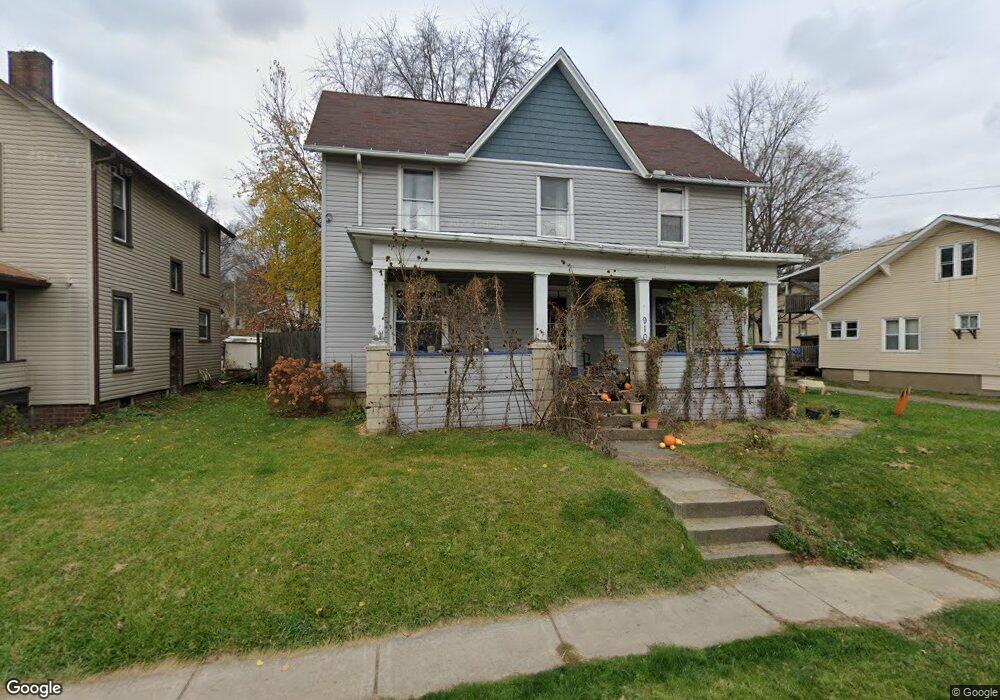
910 Nold Ave Wooster, OH 44691
Estimated Value: $167,056 - $187,000
4
Beds
2
Baths
1,688
Sq Ft
$105/Sq Ft
Est. Value
About This Home
This home is located at 910 Nold Ave, Wooster, OH 44691 and is currently estimated at $176,764, approximately $104 per square foot. 910 Nold Ave is a home located in Wayne County with nearby schools including Melrose Elementary School, Edgewood Middle School, and Wooster High School.
Ownership History
Date
Name
Owned For
Owner Type
Purchase Details
Closed on
Nov 22, 2016
Sold by
Michael E Horner Inc
Bought by
Brody Horner Llc
Current Estimated Value
Purchase Details
Closed on
Jun 4, 2010
Sold by
Daniels Bonnie
Bought by
Michael E Horner Inc
Purchase Details
Closed on
Jun 1, 2010
Sold by
Daniels Bonnie
Bought by
Michael E Horner Inc
Purchase Details
Closed on
Aug 5, 1993
Sold by
Landaw Violet L
Bought by
Landaw Violet L Trustee
Purchase Details
Closed on
Jun 26, 1987
Bought by
Landaw Violet L
Create a Home Valuation Report for This Property
The Home Valuation Report is an in-depth analysis detailing your home's value as well as a comparison with similar homes in the area
Home Values in the Area
Average Home Value in this Area
Purchase History
| Date | Buyer | Sale Price | Title Company |
|---|---|---|---|
| Brody Horner Llc | -- | None Available | |
| Michael E Horner Inc | -- | -- | |
| Michael E Horner Inc | -- | -- | |
| Landaw Violet L Trustee | -- | -- | |
| Landaw Violet L | -- | -- |
Source: Public Records
Tax History Compared to Growth
Tax History
| Year | Tax Paid | Tax Assessment Tax Assessment Total Assessment is a certain percentage of the fair market value that is determined by local assessors to be the total taxable value of land and additions on the property. | Land | Improvement |
|---|---|---|---|---|
| 2024 | $1,575 | $37,060 | $9,890 | $27,170 |
| 2023 | $1,575 | $37,060 | $9,890 | $27,170 |
| 2022 | $1,553 | $29,180 | $7,790 | $21,390 |
| 2021 | $1,601 | $29,180 | $7,790 | $21,390 |
| 2020 | $1,520 | $29,180 | $7,790 | $21,390 |
| 2019 | $1,800 | $22,330 | $7,650 | $14,680 |
| 2018 | $1,217 | $22,330 | $7,650 | $14,680 |
| 2017 | $1,230 | $22,330 | $7,650 | $14,680 |
| 2016 | $1,266 | $21,480 | $7,360 | $14,120 |
| 2015 | $1,250 | $21,480 | $7,360 | $14,120 |
| 2014 | $1,244 | $21,480 | $7,360 | $14,120 |
| 2013 | $1,316 | $22,310 | $6,890 | $15,420 |
Source: Public Records
Map
Nearby Homes
- 606 E Henry St
- 331 Derr Ave
- 708 N Bever St
- 534 N Buckeye St
- 814 N Bever St
- 423 N Market St
- 227 N Walnut St
- 1117 Quinby Ave
- 2630 Bauman Dr
- 331 Lawn St
- 140 Ohio St
- 1575 Bellevue Dr
- 1552 Renwood Dr
- 585 Kieffer St
- 851 Park Blvd
- 5 E Melrose Unit 5
- 1774 Hila Way
- 2632 Peach Ln
- 758 Western Dr
- 801 & 803 Colony Ct
- 922 Nold Ave
- 904 Nold Ave
- 421 Lincoln St
- 416 Washington St
- 429 Lincoln St
- 430 Washington St
- 1002 Nold Ave
- 848 Nold Ave
- 436 Washington St
- 1006 Nold Ave
- 842 Nold Ave
- 439 Lincoln St
- 439 Lincoln St
- 440 Washington St
- 423 Washington St
- 1014 Nold Ave
- 438 Lincoln St
- 445 Lincoln St
- 502 Washington St
- 832 Nold Ave