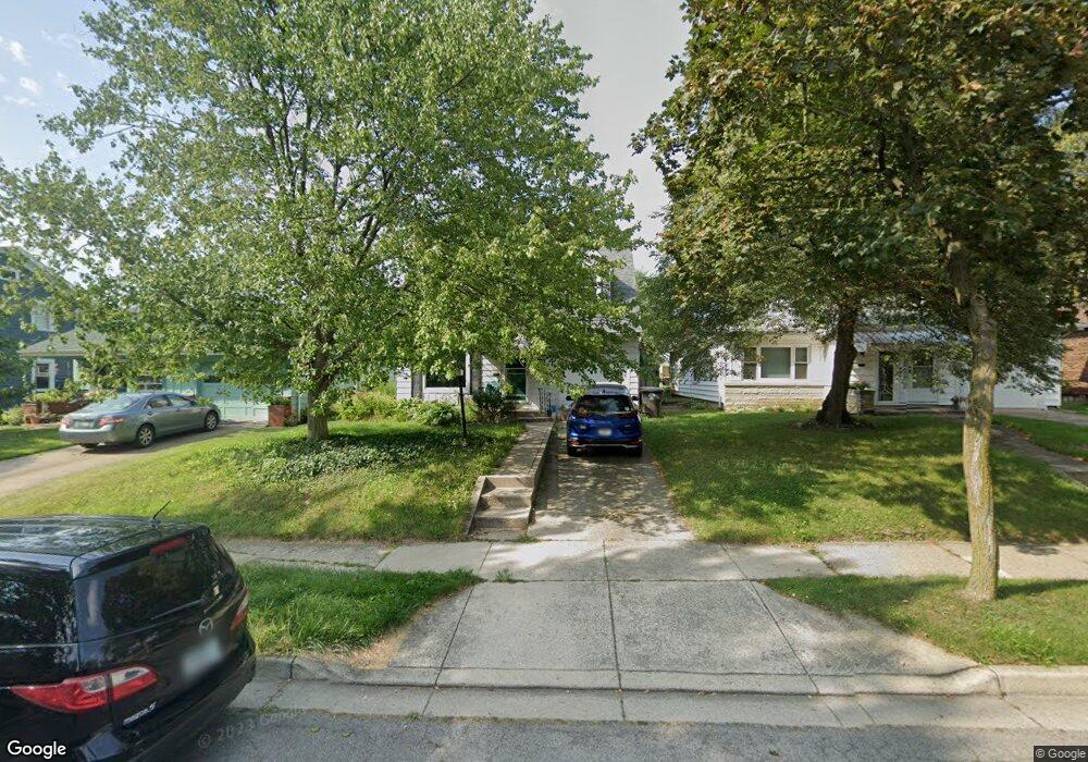
910 Prange Dr Fort Wayne, IN 46807
Southwood Park NeighborhoodEstimated Value: $204,100 - $261,000
3
Beds
2
Baths
1,460
Sq Ft
$157/Sq Ft
Est. Value
About This Home
This home is located at 910 Prange Dr, Fort Wayne, IN 46807 and is currently estimated at $229,025, approximately $156 per square foot. 910 Prange Dr is a home located in Allen County with nearby schools including Harrison Hill Elementary School, Kekionga Middle School, and South Side High School.
Ownership History
Date
Name
Owned For
Owner Type
Purchase Details
Closed on
Mar 19, 2009
Sold by
Blackburn Thomas and Blackburn Catherine
Bought by
Blackburn Penhollow Bonnie L
Current Estimated Value
Home Financials for this Owner
Home Financials are based on the most recent Mortgage that was taken out on this home.
Original Mortgage
$68,680
Outstanding Balance
$43,625
Interest Rate
5.11%
Mortgage Type
New Conventional
Estimated Equity
$185,400
Purchase Details
Closed on
Aug 21, 2003
Sold by
Neal Victoria L
Bought by
Blackburn Thomas and Blackburn Catherine
Home Financials for this Owner
Home Financials are based on the most recent Mortgage that was taken out on this home.
Original Mortgage
$75,500
Interest Rate
5.69%
Mortgage Type
Purchase Money Mortgage
Create a Home Valuation Report for This Property
The Home Valuation Report is an in-depth analysis detailing your home's value as well as a comparison with similar homes in the area
Home Values in the Area
Average Home Value in this Area
Purchase History
| Date | Buyer | Sale Price | Title Company |
|---|---|---|---|
| Blackburn Penhollow Bonnie L | -- | Meridian | |
| Blackburn Thomas | -- | Commonwealth/Dreibelbiss Tit |
Source: Public Records
Mortgage History
| Date | Status | Borrower | Loan Amount |
|---|---|---|---|
| Open | Blackburn Penhollow Bonnie L | $68,680 | |
| Closed | Blackburn Thomas | $75,500 |
Source: Public Records
Tax History Compared to Growth
Tax History
| Year | Tax Paid | Tax Assessment Tax Assessment Total Assessment is a certain percentage of the fair market value that is determined by local assessors to be the total taxable value of land and additions on the property. | Land | Improvement |
|---|---|---|---|---|
| 2024 | $1,300 | $143,200 | $27,300 | $115,900 |
| 2023 | $1,300 | $135,200 | $27,300 | $107,900 |
| 2022 | $1,238 | $122,600 | $27,300 | $95,300 |
| 2021 | $1,255 | $119,000 | $17,500 | $101,500 |
| 2020 | $1,051 | $106,400 | $17,500 | $88,900 |
| 2019 | $987 | $100,900 | $17,500 | $83,400 |
| 2018 | $811 | $91,000 | $17,500 | $73,500 |
| 2017 | $923 | $95,000 | $17,500 | $77,500 |
| 2016 | $861 | $91,700 | $17,500 | $74,200 |
| 2014 | $790 | $88,800 | $17,500 | $71,300 |
| 2013 | $787 | $89,500 | $17,500 | $72,000 |
Source: Public Records
Map
Nearby Homes
- 820 Pasadena Dr
- 810 Prange Dr
- 1027 Pasadena Dr
- 4215 Drury Ln
- 4321 Tacoma Ave
- 4534 Beaver Ave
- 4206 Tacoma Ave
- 4215 Tacoma Ave
- 4125 Tacoma Ave
- 704 W Branning Ave
- 4202 Fairfield Ave
- 2318 Fairfield Ave
- 1234 W Branning Ave
- 525 W Pettit Ave
- 4122 Buell Dr
- 407 Lexington Ave
- 407 W Branning Ave
- 926 W Rudisill Blvd
- 4105 Hoagland Ave
- 1236 W Rudisill Blvd