910 Saint Andrews Way Bel Air, MD 21015
Estimated Value: $545,627 - $754,000
--
Bed
3
Baths
2,072
Sq Ft
$298/Sq Ft
Est. Value
About This Home
This home is located at 910 Saint Andrews Way, Bel Air, MD 21015 and is currently estimated at $618,407, approximately $298 per square foot. 910 Saint Andrews Way is a home located in Harford County with nearby schools including Homestead-Wakefield Elementary School, Patterson Mill Middle School, and Patterson Mill High School.
Ownership History
Date
Name
Owned For
Owner Type
Purchase Details
Closed on
Mar 13, 1998
Sold by
Rogers Paul Thomas
Bought by
Bockius John H and Bockius Rhonda L
Current Estimated Value
Purchase Details
Closed on
Aug 24, 1989
Sold by
Binder Douglas R
Bought by
Rogers Paul Thomas
Home Financials for this Owner
Home Financials are based on the most recent Mortgage that was taken out on this home.
Original Mortgage
$160,200
Interest Rate
10.09%
Create a Home Valuation Report for This Property
The Home Valuation Report is an in-depth analysis detailing your home's value as well as a comparison with similar homes in the area
Home Values in the Area
Average Home Value in this Area
Purchase History
| Date | Buyer | Sale Price | Title Company |
|---|---|---|---|
| Bockius John H | $184,900 | -- | |
| Rogers Paul Thomas | $178,000 | -- |
Source: Public Records
Mortgage History
| Date | Status | Borrower | Loan Amount |
|---|---|---|---|
| Previous Owner | Rogers Paul Thomas | $160,200 | |
| Closed | Bockius John H | -- |
Source: Public Records
Tax History Compared to Growth
Tax History
| Year | Tax Paid | Tax Assessment Tax Assessment Total Assessment is a certain percentage of the fair market value that is determined by local assessors to be the total taxable value of land and additions on the property. | Land | Improvement |
|---|---|---|---|---|
| 2025 | $4,341 | $416,700 | $117,600 | $299,100 |
| 2024 | $4,341 | $398,267 | $0 | $0 |
| 2023 | $4,136 | $379,833 | $0 | $0 |
| 2022 | $3,939 | $361,400 | $117,600 | $243,800 |
| 2021 | $4,090 | $357,900 | $0 | $0 |
| 2020 | $4,090 | $354,400 | $0 | $0 |
| 2019 | $4,049 | $350,900 | $128,900 | $222,000 |
| 2018 | $3,960 | $346,267 | $0 | $0 |
| 2017 | $3,907 | $350,900 | $0 | $0 |
| 2016 | -- | $337,000 | $0 | $0 |
| 2015 | $3,694 | $332,333 | $0 | $0 |
| 2014 | $3,694 | $327,667 | $0 | $0 |
Source: Public Records
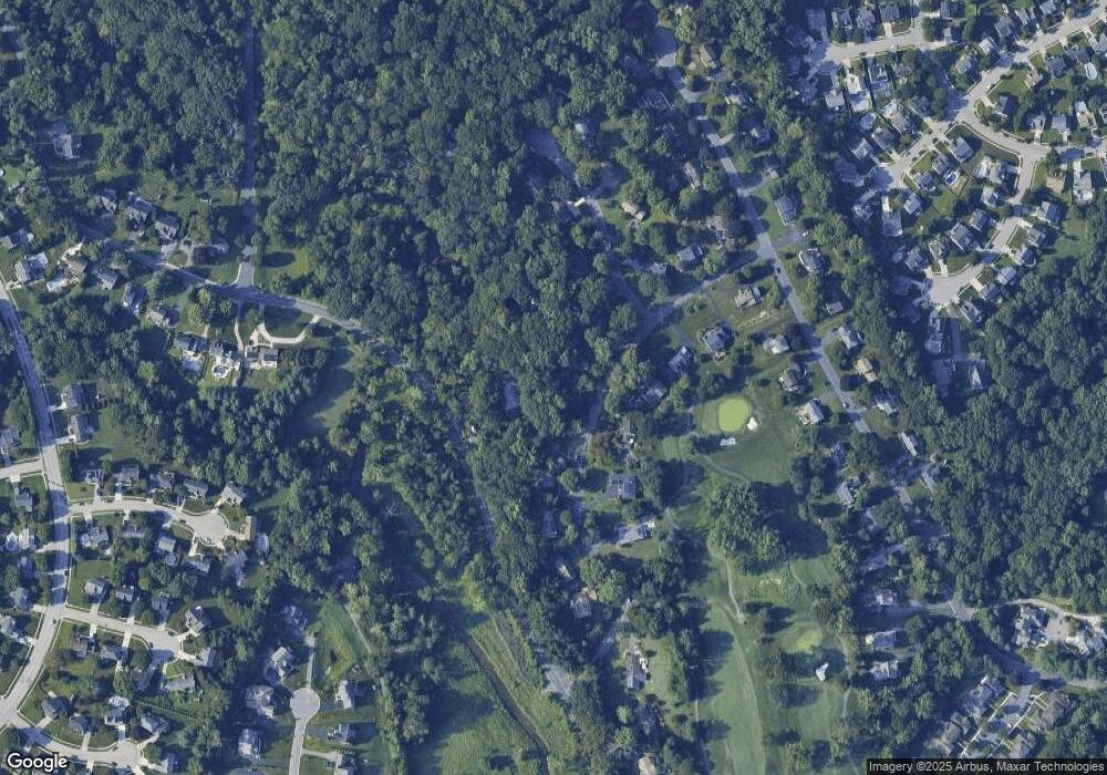
Map
Nearby Homes
- 1219 Starmount Ln
- 906 Whispering Ridge Ln
- 1818 Selvin Dr Unit 202
- 12 Overbrook Ln
- 4 Ashley Way
- 1313 Kelsey Ct
- 1600 Martha Ct Unit 304
- 1600 Martha Ct Unit 301
- 1453 Redfield Rd
- 1314 Scottsdale Dr Unit G
- 1312 Scottsdale Dr Unit H
- 1358 Merry Hill Ct
- 1310 Scottsdale Dr Unit R
- 1309 Sheridan Place Unit 99
- 1307 Scottsdale Dr Unit J
- 1307 Scottsdale Dr Unit G
- 1039 Wingate Ct
- 1308 Scottsdale Dr Unit L
- 1310 Sheridan Place Unit 108-17
- 1301 Sheridan Place Unit 1301-G
- 1158 E Macphail Rd
- 912 Saint Andrews Way
- 908 Saint Andrews Way
- 907 Saint Andrews Way
- 914 Saint Andrews Way
- 906 Saint Andrews Way
- 909 Saint Andrews Way
- 1155 Court of Fiddlers Green
- 905 Saint Andrews Way
- 1153 Court of Fiddlers Green
- 911 Saint Andrews Way
- 904 Saint Andrews Way
- 916 Saint Andrews Way
- 903 Saint Andrews Way
- 1147 Court of Fiddlers Green
- 902 Saint Andrews Way
- 1148 Court of Fiddlers Green
- 1148 Ct of Fiddlers Green
- 918 Saint Andrews Way
- 1145 Court of Fiddlers Green