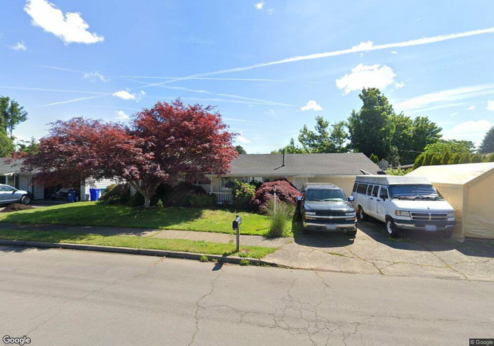
910 SE 221st Ave Gresham, OR 97030
North Central NeighborhoodEstimated Value: $367,000 - $448,000
3
Beds
2
Baths
912
Sq Ft
$430/Sq Ft
Est. Value
About This Home
This home is located at 910 SE 221st Ave, Gresham, OR 97030 and is currently estimated at $392,444, approximately $430 per square foot. 910 SE 221st Ave is a home located in Multnomah County with nearby schools including North Gresham Elementary School, Clear Creek Middle School, and Gresham High School.
Ownership History
Date
Name
Owned For
Owner Type
Purchase Details
Closed on
Mar 8, 2000
Sold by
Clift James C
Bought by
Clift James C and Clift Carolyn S
Current Estimated Value
Purchase Details
Closed on
May 15, 1998
Sold by
Aispuro Guadalupe A and Aispuro Mary J
Bought by
Clift James C and Clift Carolyn S
Home Financials for this Owner
Home Financials are based on the most recent Mortgage that was taken out on this home.
Original Mortgage
$40,000
Interest Rate
7.13%
Mortgage Type
Purchase Money Mortgage
Create a Home Valuation Report for This Property
The Home Valuation Report is an in-depth analysis detailing your home's value as well as a comparison with similar homes in the area
Home Values in the Area
Average Home Value in this Area
Purchase History
| Date | Buyer | Sale Price | Title Company |
|---|---|---|---|
| Clift James C | -- | -- | |
| Clift James C | $100,000 | First American Title Ins Co |
Source: Public Records
Mortgage History
| Date | Status | Borrower | Loan Amount |
|---|---|---|---|
| Closed | Clift James C | $40,000 |
Source: Public Records
Tax History
| Year | Tax Paid | Tax Assessment Tax Assessment Total Assessment is a certain percentage of the fair market value that is determined by local assessors to be the total taxable value of land and additions on the property. | Land | Improvement |
|---|---|---|---|---|
| 2025 | $3,658 | $179,750 | -- | -- |
| 2024 | $3,502 | $174,520 | -- | -- |
| 2023 | $3,190 | $169,440 | $0 | $0 |
| 2022 | $3,101 | $164,510 | $0 | $0 |
| 2021 | $3,023 | $159,720 | $0 | $0 |
| 2020 | $2,844 | $155,070 | $0 | $0 |
| 2019 | $2,770 | $150,560 | $0 | $0 |
| 2018 | $2,641 | $146,180 | $0 | $0 |
| 2017 | $2,534 | $141,930 | $0 | $0 |
| 2016 | $2,234 | $137,800 | $0 | $0 |
Source: Public Records
Map
Nearby Homes
- 1035 SE 225th Ave
- 2730 NE Roberts Ave
- 21532 SE Alder St
- 210 SE 218th Ave
- 450 NE 22nd St
- 21525 SE Oak St
- 535 NE 24th St
- 21400 SE Stark St Unit 2
- 21553 SE Ankeny Terrace
- 21260 SE Stark St
- 2775 NE Linden Ave
- 349 NE 18th St
- 1783 1791 NE Beech Place
- 209 SE 214th Ave
- 132 SE 214th Ave
- 21016 SE Stark St Unit 71
- 21016 SE Stark St Unit 69
- 21033 SE Clay Ct
- 54 NW 13th St
- 2013 NW Bella Vista Dr
- 840 SE 221st Ave
- 22111 SE Yamhill St
- 22121 SE Yamhill St
- 903 SE 221st Ave
- 824 SE 221st Ave
- 927 SE 221st Ave
- 925 SE 223rd Ave
- 935 SE 221st Ave
- 833 SE 221st Ave
- 810 SE 221st Ave
- 21934 SE Morrison Ct
- 21920 SE Morrison Ct
- 815 SE 223rd Ave
- 22104 SE Yamhill St
- 22120 SE Yamhill St
- 21928 SE Morrison Ct
- 949 SE 221st Ave
- 21916 SE Morrison Ct
- 1011 SE 223rd Ave
- 1006 SE 221st Ave
Your Personal Tour Guide
Ask me questions while you tour the home.