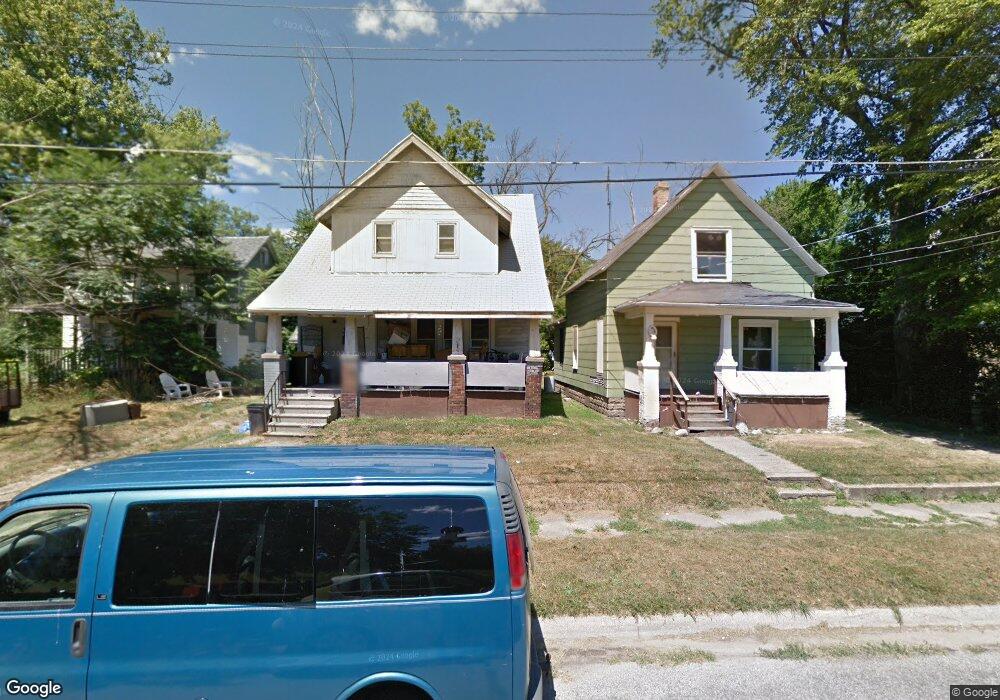
910 Watson St Flint, MI 48503
Grand Traverse Neighborhood
3
Beds
1
Bath
1,012
Sq Ft
4,792
Sq Ft Lot
About This Home
This home is located at 910 Watson St, Flint, MI 48503. 910 Watson St is a home located in Genesee County with nearby schools including Eisenhower School, WAY Academy of Flint, and St John Vianney Catholic School.
Create a Home Valuation Report for This Property
The Home Valuation Report is an in-depth analysis detailing your home's value as well as a comparison with similar homes in the area
Home Values in the Area
Average Home Value in this Area
Tax History
| Year | Tax Paid | Tax Assessment Tax Assessment Total Assessment is a certain percentage of the fair market value that is determined by local assessors to be the total taxable value of land and additions on the property. | Land | Improvement |
|---|---|---|---|---|
| 2024 | -- | $0 | $0 | $0 |
| 2023 | -- | $0 | $0 | $0 |
| 2022 | $0 | $0 | $0 | $0 |
| 2021 | $0 | $0 | $0 | $0 |
| 2020 | $0 | $0 | $0 | $0 |
| 2019 | $469 | $0 | $0 | $0 |
| 2018 | $307 | $1,800 | $0 | $0 |
| 2017 | $759 | $0 | $0 | $0 |
| 2016 | $469 | $0 | $0 | $0 |
| 2015 | -- | $0 | $0 | $0 |
| 2014 | -- | $0 | $0 | $0 |
| 2012 | -- | $4,100 | $0 | $0 |
Source: Public Records
Map
Nearby Homes
- 913 Davis St
- 607 Thayer St
- 1215 S Grand Traverse St
- 1114 S Grand Traverse St
- 211 W 5th St
- 1708 Fenton Rd
- 2021 Brooks St
- 407 W 2nd Ave
- 416 W 2nd Ave Unit 4
- 1114 Christopher St
- 1511 Tacoma St
- 1517 Tacoma St
- A Avenue
- 314 E 4th St
- 517 Morley Ave
- 1820 Chelsea Cir
- 410 E 4th St
- 636 Partridge St
- 2124 Swayze St
- 751 Dupont St
Your Personal Tour Guide
Ask me questions while you tour the home.