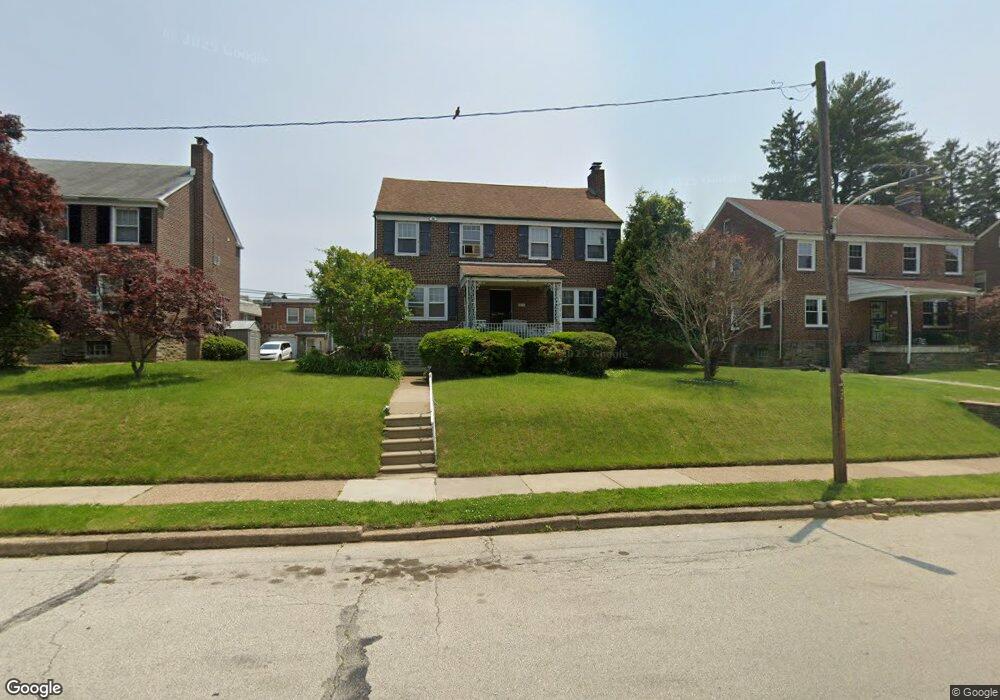
910 Woodbrook Ln Philadelphia, PA 19150
Cedarbrook NeighborhoodEstimated Value: $394,609 - $448,000
3
Beds
2
Baths
2,100
Sq Ft
$201/Sq Ft
Est. Value
About This Home
This home is located at 910 Woodbrook Ln, Philadelphia, PA 19150 and is currently estimated at $421,652, approximately $200 per square foot. 910 Woodbrook Ln is a home located in Philadelphia County with nearby schools including John Story Jenks Academy for the Arts an, Roxborough High School, and Renaissance Charter School.
Ownership History
Date
Name
Owned For
Owner Type
Purchase Details
Closed on
Feb 29, 2020
Sold by
Ware Lisa and Williams Caludia
Bought by
Gaines Mildred and Ware Lisa
Current Estimated Value
Purchase Details
Closed on
Mar 30, 1983
Bought by
Gaines Robert F and Gaines Mildred A
Create a Home Valuation Report for This Property
The Home Valuation Report is an in-depth analysis detailing your home's value as well as a comparison with similar homes in the area
Home Values in the Area
Average Home Value in this Area
Purchase History
| Date | Buyer | Sale Price | Title Company |
|---|---|---|---|
| Gaines Mildred | -- | None Available | |
| Gaines Robert F | $73,500 | -- |
Source: Public Records
Tax History Compared to Growth
Tax History
| Year | Tax Paid | Tax Assessment Tax Assessment Total Assessment is a certain percentage of the fair market value that is determined by local assessors to be the total taxable value of land and additions on the property. | Land | Improvement |
|---|---|---|---|---|
| 2025 | $4,570 | $377,900 | $75,580 | $302,320 |
| 2024 | $4,570 | $377,900 | $75,580 | $302,320 |
| 2023 | $4,570 | $326,500 | $65,300 | $261,200 |
| 2022 | $4,570 | $326,500 | $65,300 | $261,200 |
| 2021 | $3,697 | $0 | $0 | $0 |
| 2020 | $3,697 | $0 | $0 | $0 |
| 2019 | $2,567 | $0 | $0 | $0 |
| 2018 | $2,128 | $0 | $0 | $0 |
| 2017 | $2,548 | $0 | $0 | $0 |
| 2016 | $2,128 | $0 | $0 | $0 |
| 2015 | $2,037 | $0 | $0 | $0 |
| 2014 | -- | $182,000 | $114,359 | $67,641 |
| 2012 | -- | $32,320 | $6,263 | $26,057 |
Source: Public Records
Map
Nearby Homes
- 7604 East Ln
- 7410 Crittenden St
- 7601 Crittenden St Unit A4
- 7804 Louise Ln
- 523 E Allens Ln
- 8309 Lynnewood Rd
- 246 E Springfield Ave
- 407 E Allens Ln
- 234 E Benezet St
- 1000 E Durham St
- 7415 Sprague St
- 1204 E Mount Airy Ave
- 613 E Mount Pleasant Ave
- 8004 Anderson St
- 338 E Mount Airy Ave
- 1038 E Mount Pleasant Ave
- 8507 Forrest Ave
- 7236 Sprague St
- 7510 Boyer St
- 8307 Thouron Ave
- 914 Woodbrook Ln
- 906 Woodbrook Ln
- 911 Murdoch Rd
- 909 Murdoch Rd
- 913 Murdoch Rd
- 915 Murdoch Rd
- 918 Woodbrook Ln
- 900 Woodbrook Ln
- 905 Murdoch Rd
- 917 Murdoch Rd
- 903 Murdoch Rd
- 919 Murdoch Rd
- 911 Woodbrook Ln
- 907 Woodbrook Ln
- 901 Murdoch Rd
- 921 Murdoch Rd
- 922 Woodbrook Ln
- 919 Woodbrook Ln
- 923 Murdoch Rd