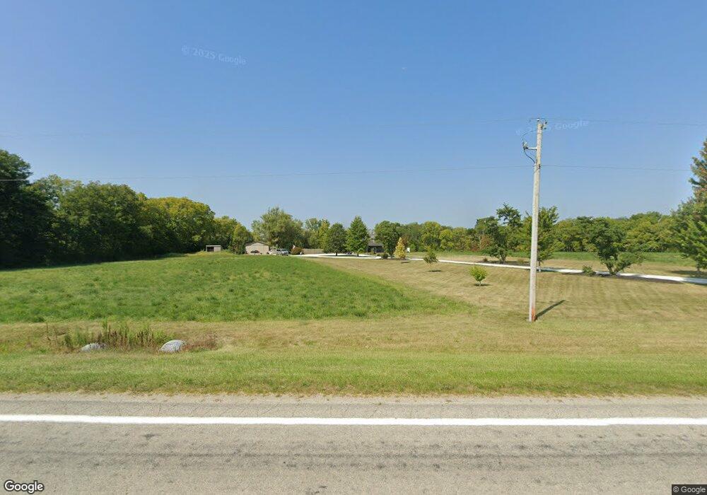
9100 N State Route 48 Covington, OH 45318
Estimated Value: $478,000 - $621,400
3
Beds
2
Baths
988
Sq Ft
$541/Sq Ft
Est. Value
About This Home
This home is located at 9100 N State Route 48, Covington, OH 45318 and is currently estimated at $534,850, approximately $541 per square foot. 9100 N State Route 48 is a home located in Miami County with nearby schools including Covington Elementary/Junior High School, Covington Junior High School, and Covington High School.
Ownership History
Date
Name
Owned For
Owner Type
Purchase Details
Closed on
Mar 8, 2013
Sold by
Green Gary M and Green Dawn R
Bought by
Stueve Michael J and Stueve Sara T
Current Estimated Value
Home Financials for this Owner
Home Financials are based on the most recent Mortgage that was taken out on this home.
Original Mortgage
$190,000
Outstanding Balance
$130,761
Interest Rate
3.38%
Mortgage Type
Purchase Money Mortgage
Estimated Equity
$404,089
Purchase Details
Closed on
May 17, 2001
Sold by
Green Gary M
Bought by
Green Gary M and Green Dawn R
Create a Home Valuation Report for This Property
The Home Valuation Report is an in-depth analysis detailing your home's value as well as a comparison with similar homes in the area
Purchase History
| Date | Buyer | Sale Price | Title Company |
|---|---|---|---|
| Stueve Michael J | $238,000 | None Available | |
| Green Gary M | -- | -- |
Source: Public Records
Mortgage History
| Date | Status | Borrower | Loan Amount |
|---|---|---|---|
| Open | Stueve Michael J | $190,000 |
Source: Public Records
Tax History
| Year | Tax Paid | Tax Assessment Tax Assessment Total Assessment is a certain percentage of the fair market value that is determined by local assessors to be the total taxable value of land and additions on the property. | Land | Improvement |
|---|---|---|---|---|
| 2025 | $5,344 | $176,320 | $16,230 | $160,090 |
| 2024 | $5,344 | $131,540 | $12,360 | $119,180 |
| 2023 | $4,395 | $131,540 | $12,360 | $119,180 |
| 2022 | $4,452 | $131,540 | $12,360 | $119,180 |
| 2021 | $3,684 | $101,390 | $9,720 | $91,670 |
| 2020 | $3,684 | $101,390 | $9,720 | $91,670 |
| 2019 | $3,673 | $101,390 | $9,720 | $91,670 |
| 2018 | $3,431 | $96,220 | $11,030 | $85,190 |
| 2017 | $3,500 | $96,220 | $11,030 | $85,190 |
| 2016 | $3,360 | $96,220 | $11,030 | $85,190 |
| 2015 | $3,034 | $86,440 | $10,520 | $75,920 |
| 2014 | $3,034 | $86,440 | $10,520 | $75,920 |
| 2013 | $2,086 | $59,030 | $10,520 | $48,510 |
Source: Public Records
Map
Nearby Homes
- 8040 N State Route 48
- 7550 N Crescent Rd
- 9100 W Klinger Rd
- 762 N High St
- 731 N Pearl St
- 12 E Park St
- 698 E Broadway St
- 447 E Broadway St
- 309 Ullery Dr
- 251 N Ludlow St
- 120 N Grant St
- 9711 Spiker Rd
- 223 Henry Ct
- 7 S Main St
- 221 S High St
- 4075 Russia Versailles Rd
- 206 Charles Ct
- 204 Charles Ct
- 210 Charles Ct
- 212 Charles Ct
- 9100 Ohio 48
- 8065 W Union Church Rd
- 8225 W Union Church Rd
- 9291 N State Route 48
- 8640 N State Route 48
- 8465 W Union Church Rd
- 8511 Union Church Rd
- 9564 N State Route 48
- 7590 W Union Church Rd
- 8575 W Union Church Rd
- 1 Sr 185
- 0 St Route 185 Unit 434969
- 0 St Rte 185 Unit 434961
- 0 State Route 185 Unit 434959
- 0 State Route 185 Unit 375658
- 0 State Route 185 Unit 306723
- 0 State Route 185 Unit x 306722
- 0 State Route 185 Unit 306721
- 0 State Route 185 Unit 306720
- 8605 W Union Church Rd
Your Personal Tour Guide
Ask me questions while you tour the home.