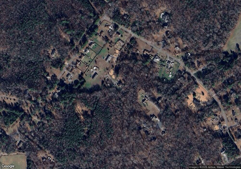
9103 Walts Way Gloucester, VA 23061
Estimated Value: $569,837 - $607,000
5
Beds
3
Baths
2,500
Sq Ft
$233/Sq Ft
Est. Value
About This Home
This home is located at 9103 Walts Way, Gloucester, VA 23061 and is currently estimated at $583,209, approximately $233 per square foot. 9103 Walts Way is a home located in Gloucester County with nearby schools including Petsworth Elementary School, Peasley Middle School, and Gloucester High School.
Ownership History
Date
Name
Owned For
Owner Type
Purchase Details
Closed on
Oct 15, 2021
Sold by
D & B Properties Inc
Bought by
Hoar Kurtis Alan and Flores Amanda Elizabeth
Current Estimated Value
Home Financials for this Owner
Home Financials are based on the most recent Mortgage that was taken out on this home.
Original Mortgage
$434,553
Outstanding Balance
$395,411
Interest Rate
2.8%
Mortgage Type
New Conventional
Estimated Equity
$187,798
Purchase Details
Closed on
Jan 14, 2009
Sold by
Green David and Green Gidget
Bought by
Green David and Green Gidget
Create a Home Valuation Report for This Property
The Home Valuation Report is an in-depth analysis detailing your home's value as well as a comparison with similar homes in the area
Home Values in the Area
Average Home Value in this Area
Purchase History
| Date | Buyer | Sale Price | Title Company |
|---|---|---|---|
| Hoar Kurtis Alan | $450,000 | Rocket Title | |
| Green David | -- | None Available | |
| Green David | -- | -- |
Source: Public Records
Mortgage History
| Date | Status | Borrower | Loan Amount |
|---|---|---|---|
| Open | Hoar Kurtis Alan | $434,553 |
Source: Public Records
Tax History
| Year | Tax Paid | Tax Assessment Tax Assessment Total Assessment is a certain percentage of the fair market value that is determined by local assessors to be the total taxable value of land and additions on the property. | Land | Improvement |
|---|---|---|---|---|
| 2025 | $2,833 | $461,470 | $83,230 | $378,240 |
| 2024 | $2,833 | $461,470 | $83,230 | $378,240 |
| 2023 | $2,690 | $461,470 | $83,230 | $378,240 |
| 2022 | $2,514 | $346,690 | $63,490 | $283,200 |
| 2021 | $2,410 | $346,690 | $63,490 | $283,200 |
| 2020 | $2,410 | $346,690 | $63,490 | $283,200 |
| 2019 | $2,117 | $304,620 | $70,540 | $234,080 |
| 2017 | $2,117 | $304,620 | $70,540 | $234,080 |
| 2016 | $2,262 | $325,410 | $70,540 | $254,870 |
| 2015 | $2,213 | $327,300 | $70,500 | $256,800 |
| 2014 | $2,127 | $327,300 | $70,500 | $256,800 |
Source: Public Records
Map
Nearby Homes
- 9033 Chriscoe Ln
- 9155 Marlfield Rd
- 9016 Marlfield Rd
- LOT 25 Stream Dr
- .51+AC Stream Dr
- .26+AC Poplar Springs Dr
- LOT 80 Poplar Springs Dr
- Lot 79 Poplar Springs Dr
- 8747 Davenport Rd
- 0 Bacons Ln
- 2750 Shell Rd
- 8194 Manor Dr
- 8029 Pinetta Rd
- 0 S George Washington Memorial Hwy Unit 2509257
- 00 George Washington Memorial Hwy
- 00 Island Rd
- 00 Plainview Dr
- 16.4ac Plainview Dr
- 4028 Buena Vista Rd
- 45ac Plain View Ln
- 9092 Walts Way
- 9046 Chriscoe Ln
- 9120 Walts Way
- 9388 Marlfield Rd
- 9068 Chriscoe Ln
- 9424 Marlfield Rd
- 9374 Marlfield Rd
- 9309 Davenport Rd
- 9321 Davenport Rd
- 9301 Davenport Rd
- 9042 Chriscoe Ln
- 9333 Davenport Rd
- 9038 Chriscoe Ln
- 9428 Marlfield Rd
- 9291 Davenport Rd
- 0 Chriscoe Ln Unit 1608052
- 0 Chriscoe Ln Unit 1612716
- 9360 Marlfield Rd
- 9281 Davenport Rd
- 9351 Davenport Rd
