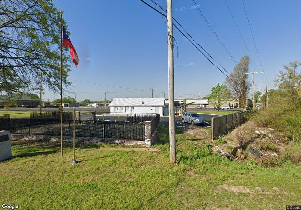
9109 Highway 51 N Southaven, MS 38671
--
Bed
--
Bath
1,025
Sq Ft
0.8
Acres
About This Home
This home is located at 9109 Highway 51 N, Southaven, MS 38671. 9109 Highway 51 N is a home located in DeSoto County with nearby schools including Hope Sullivan Elementary School, Southaven Intermediate School, and Southaven Middle School.
Ownership History
Date
Name
Owned For
Owner Type
Purchase Details
Closed on
Oct 15, 2019
Sold by
Shaw Ivor
Bought by
Cis Entertainment Llc
Home Financials for this Owner
Home Financials are based on the most recent Mortgage that was taken out on this home.
Original Mortgage
$55,000
Interest Rate
3.7%
Mortgage Type
Seller Take Back
Purchase Details
Closed on
Aug 30, 2019
Sold by
Strawn Billy W
Bought by
Shaw Ivor
Home Financials for this Owner
Home Financials are based on the most recent Mortgage that was taken out on this home.
Original Mortgage
$55,000
Interest Rate
3.7%
Mortgage Type
Seller Take Back
Create a Home Valuation Report for This Property
The Home Valuation Report is an in-depth analysis detailing your home's value as well as a comparison with similar homes in the area
Home Values in the Area
Average Home Value in this Area
Purchase History
| Date | Buyer | Sale Price | Title Company |
|---|---|---|---|
| Cis Entertainment Llc | -- | Guardian Title Llc | |
| Shaw Ivor | -- | Guardian Title |
Source: Public Records
Mortgage History
| Date | Status | Borrower | Loan Amount |
|---|---|---|---|
| Previous Owner | Shaw Ivor | $55,000 |
Source: Public Records
Tax History Compared to Growth
Tax History
| Year | Tax Paid | Tax Assessment Tax Assessment Total Assessment is a certain percentage of the fair market value that is determined by local assessors to be the total taxable value of land and additions on the property. | Land | Improvement |
|---|---|---|---|---|
| 2024 | $2,249 | $15,447 | $6,671 | $8,776 |
| 2023 | $2,249 | $15,447 | $0 | $0 |
| 2022 | $1,267 | $8,851 | $6,671 | $2,180 |
| 2021 | $1,267 | $8,851 | $6,671 | $2,180 |
| 2020 | $1,242 | $8,676 | $6,671 | $2,005 |
| 2019 | $1,847 | $12,941 | $10,716 | $2,225 |
| 2017 | $1,844 | $14,994 | $12,855 | $2,139 |
| 2016 | $1,844 | $12,855 | $10,716 | $2,139 |
| 2015 | $1,831 | $14,994 | $12,855 | $2,139 |
| 2014 | $13,304 | $12,855 | $0 | $0 |
| 2013 | $1,844 | $12,855 | $0 | $0 |
Source: Public Records
Map
Nearby Homes
- 1728 Forrest Dr
- 1279 Eason Ave
- 1400 Staunton Dr
- 8505 Southaven Cir W
- 1456 Eason Ave
- 8493 Cedarbrush Dr
- 1383 Ranger Dr
- 1382 Mary Jane Ave
- 1821 Tad Cove
- 9154 Haleville St
- 8341 Whitehead Dr
- 8376 Cedarcrest Dr E
- 1242 Brandywine Dr
- 1502 Mary Jane Ave
- 1734 Brookhaven Dr
- 1639 Kilarney Ave
- 1825 Brookhaven Dr
- 5387 Loch Lomond Rd
- 1041 Richland Dr
- 5449 Millbranch Rd
- 1 N Highway 51
- 9220 Us-51
- 9190 U S 51
- 9180 U S 51
- 9200 U S 51
- 9180 Highway 51 N
- 9180 Highway 51 N
- 9260 Highway 51 N
- 1866 Forrest Dr
- 1841 Forrest Dr
- 1831 Vicksburg Dr
- 1827 Vicksburg Dr
- 1846 Forrest Dr
- 7533 Southaven Cir W
- 1827 Forrest Dr
- 1823 Vicksburg Dr
- 2144 Stateline Rd W
- 1961 Stateline Rd W
- 1834 Forrest Dr
- 1819 Vicksburg Dr